
MyTopo
Blairs Spring Arizona US Topo Map
Couldn't load pickup availability
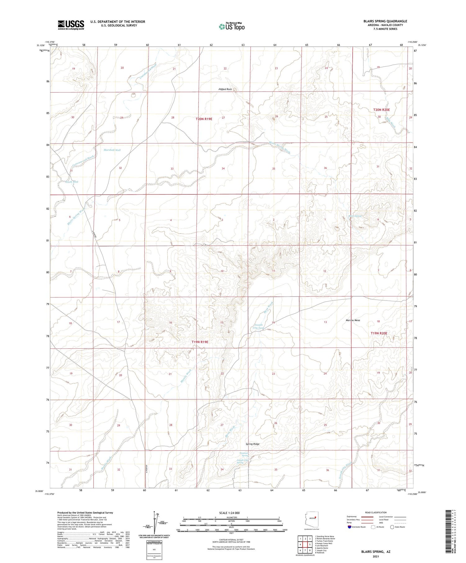
2021 topographic map quadrangle Blairs Spring in the state of Arizona. Scale: 1:24000. Based on the newly updated USGS 7.5' US Topo map series, this map is in the following counties: Navajo. The map contains contour data, water features, and other items you are used to seeing on USGS maps, but also has updated roads and other features. This is the next generation of topographic maps. Printed on high-quality waterproof paper with UV fade-resistant inks.
Quads adjacent to this one:
West: Humpy Camp Well
Northwest: Standing Horse Mesa
North: Rotten Bananas Butte
Northeast: Turkey Track Butte
East: Lee Mountain
Southeast: Holbrook
South: Joseph City
Southwest: Apache Butte
This map covers the same area as the classic USGS quad with code o35110a3.
Contains the following named places: Blairs Spring, Blairs Spring Wash, Jagged Rock, Joseph City Spring, Joseph City Tank, Marshall Well, South Well, Spring Ridge, Westover Spring, ZIP Code: 86032


