MyTopo
Humpy Camp Well Arizona US Topo Map
Couldn't load pickup availability
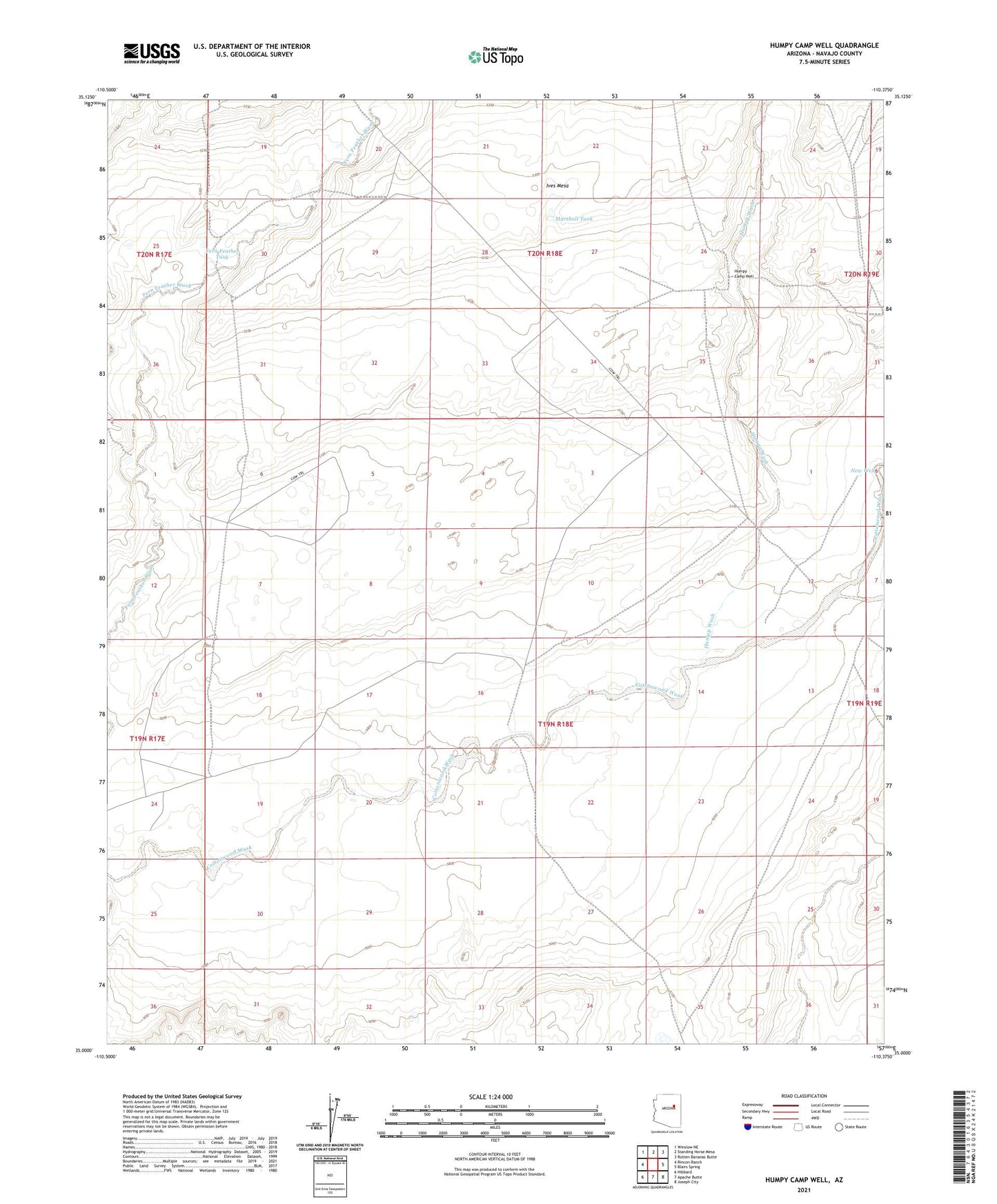
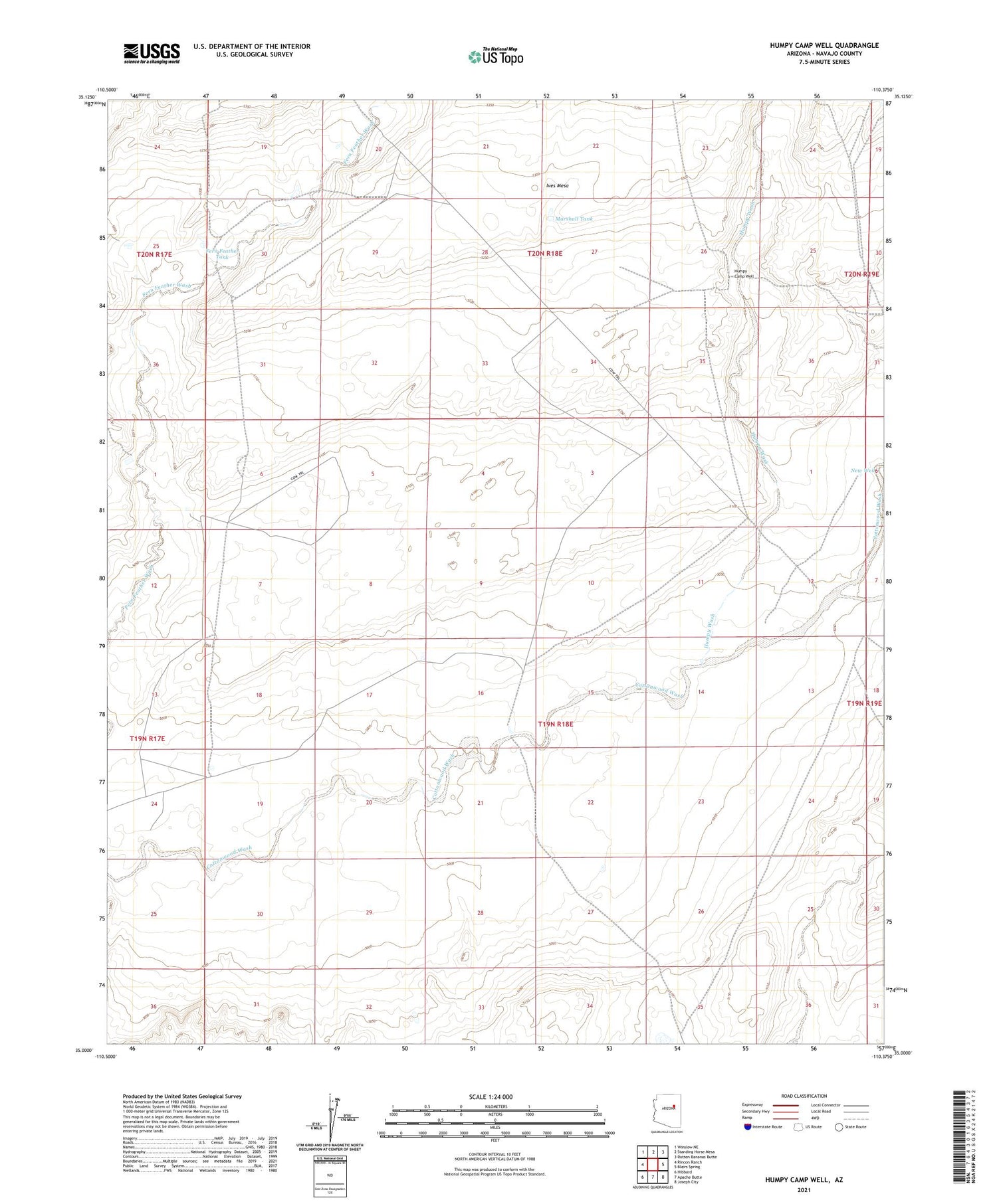
2021 topographic map quadrangle Humpy Camp Well in the state of Arizona. Scale: 1:24000. Based on the newly updated USGS 7.5' US Topo map series, this map is in the following counties: Navajo. The map contains contour data, water features, and other items you are used to seeing on USGS maps, but also has updated roads and other features. This is the next generation of topographic maps. Printed on high-quality waterproof paper with UV fade-resistant inks.
Quads adjacent to this one:
West: Rincon Ranch
Northwest: Winslow NE
North: Standing Horse Mesa
Northeast: Rotten Bananas Butte
East: Blairs Spring
Southeast: Joseph City
South: Apache Butte
Southwest: Hibbard
This map covers the same area as the classic USGS quad with code o35110a4.
Contains the following named places: Cottonwood Well, Deep Well, Fern Feather Tank, Foster Well, Good Well, Humpy Camp Well, Humpy Wash, Marshall Tank, New Well, Sand Well, West Well