MyTopo
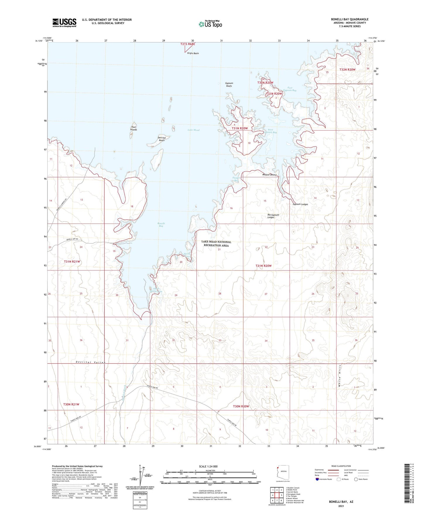
Bonelli Bay Arizona US Topo Map
Couldn't load pickup availability
2021 topographic map quadrangle Bonelli Bay in the state of Arizona. Scale: 1:24000. Based on the newly updated USGS 7.5' US Topo map series, this map is in the following counties: Mohave. The map contains contour data, water features, and other items you are used to seeing on USGS maps, but also has updated roads and other features. This is the next generation of topographic maps. Printed on high-quality waterproof paper with UV fade-resistant inks.
Quads adjacent to this one:
West: Petroglyph Wash
Northwest: Boulder Canyon
North: Middle Point
Northeast: Garrett Butte
East: The Temple
Southeast: Senator Mountain NE
South: Senator Mountain NW
Southwest: Mount Wilson
This map covers the same area as the classic USGS quad with code o36114a4.
Contains the following named places: Alkali Spring Cove, Big Gypsum Ledges, Bonelli Bay, Bonelli Landing, Danger Bay, Detrital Reefs, Detrital Valley, Detrital Wash, East Gypsum Bay, Gypsum Ledges, Gypsum Reefs, Pool Islands, Secret Cove, West Gypsum Bay