MyTopo
Bottleneck Wash Arizona US Topo Map
Couldn't load pickup availability
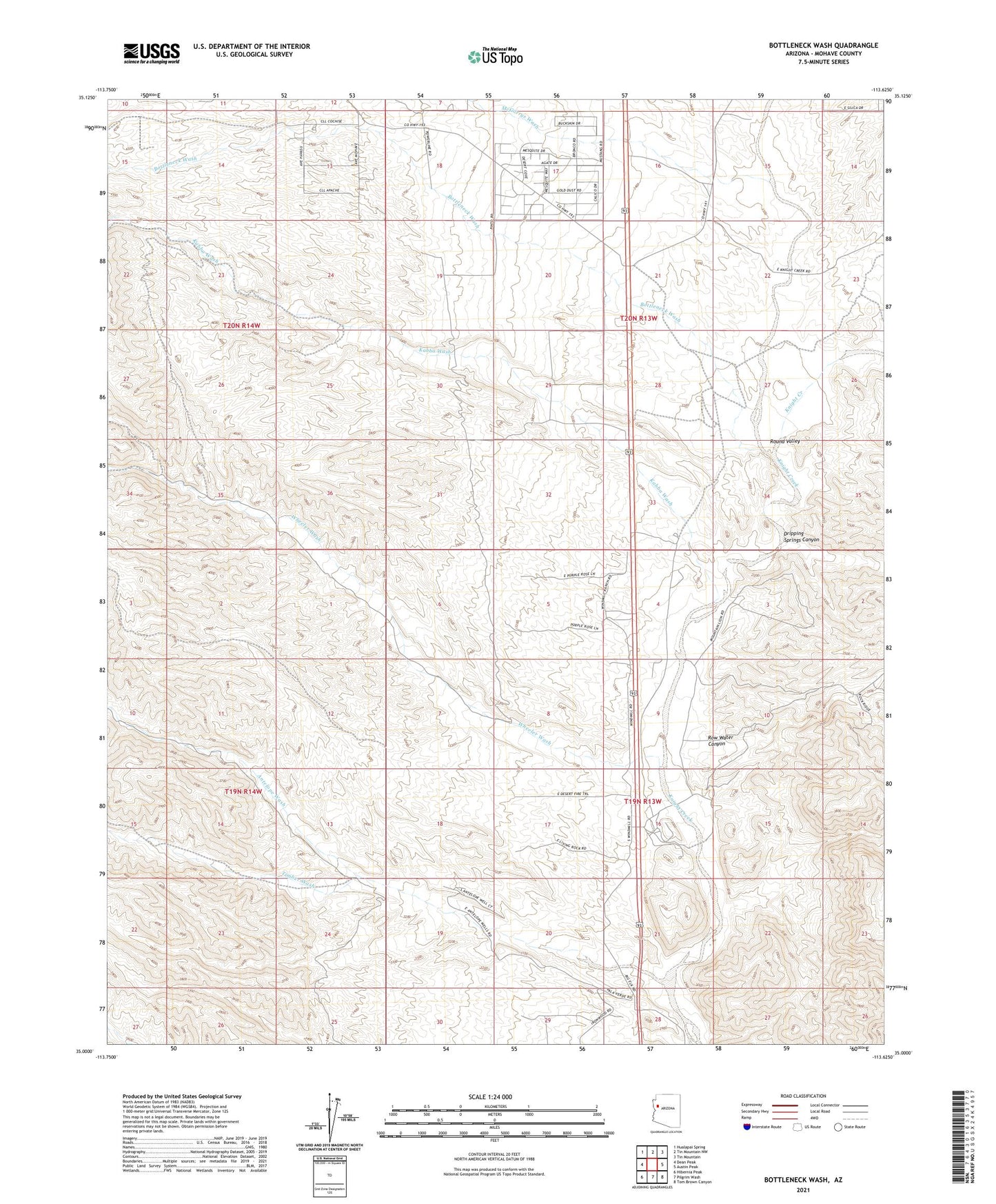
2021 topographic map quadrangle Bottleneck Wash in the state of Arizona. Scale: 1:24000. Based on the newly updated USGS 7.5' US Topo map series, this map is in the following counties: Mohave. The map contains contour data, water features, and other items you are used to seeing on USGS maps, but also has updated roads and other features. This is the next generation of topographic maps. Printed on high-quality waterproof paper with UV fade-resistant inks.
Quads adjacent to this one:
West: Dean Peak
Northwest: Hualapai Spring
North: Tin Mountain NW
Northeast: Tin Mountain
East: Austin Peak
Southeast: Tom Brown Canyon
South: Pilgrim Wash
Southwest: Hibernia Peak
This map covers the same area as the classic USGS quad with code o35113a6.
Contains the following named places: Antelope Wash, Antelope Well, Bottleneck Wash, Camp Well, Dripping Springs Canyon, Government Tank, Kabba Mine, Kabba Wash, McGarrys Wash, Round Valley, Round Valley Ranch, Row Water Canyon, Timber Wash, Timber-Antelope Well, Wheeler Wash, Windmill Ranch