
MyTopo
Hoodoo Knoll Arizona US Topo Map
Couldn't load pickup availability
Also explore the Hoodoo Knoll Forest Service Topo of this same quad for updated USFS data
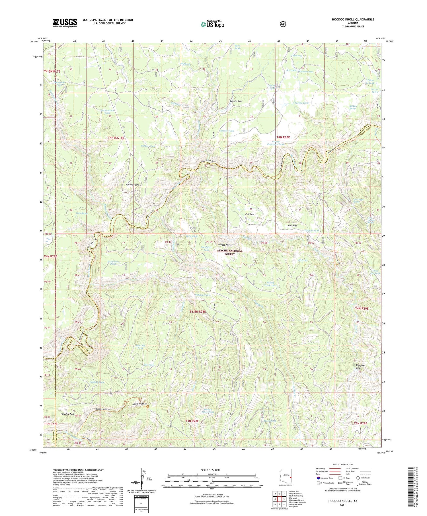
2021 topographic map quadrangle Hoodoo Knoll in the state of Arizona. Scale: 1:24000. Based on the newly updated USGS 7.5' US Topo map series, this map is in the following counties: Greenlee, Apache, Graham. The map contains contour data, water features, and other items you are used to seeing on USGS maps, but also has updated roads and other features. This is the next generation of topographic maps. Printed on high-quality waterproof paper with UV fade-resistant inks.
Quads adjacent to this one:
West: Maverick
Northwest: Bonito Rock
North: Big Lake South
Northeast: Buffalo Crossing
East: Hannagan Meadow
Southeast: Strayhorse
South: Baldy Bill Point
Southwest: Freezeout Mountain
This map covers the same area as the classic USGS quad with code o33109f4.
Contains the following named places: Bear Tank, Bill Earl Spring, Black Tank, Boggy Creek, Burk Seep, Burn Tank, Carlock Tank, Centerfire Creek, Conklin Creek, Coyote Sink, Elk Lake, Elk Tank, Fish Bench, Fish Creek, Fish Sink, Fishbench Tank, Gobbler Point, Gobbler Tank, Gravel Pit Tank, Holiday Tank, Hoodoo Knoll, Juno Tank, Knoll Tank, L Fifty-six Tank, Long Canyon Spring, Loop Tank, Maverick Tank, McKibbins Pond, Mushroom Seep, Paradise Park, Perry Spring, Pond Tank, PS Tank, Reservation Creek, Reservation Tank, Salt Lick Tank, Section Three Tank, Side Canyon Spring, Slaughter Draw, Slaughter Tank, Snake Creek, Snake Tank, Tadpole Tank, Turkey Enclosure Tank, Turkey Tank, Turkey Track Tank, Wildcat Creek, Wildcat Point, Wildcat Tank, Wren Tank


