MyTopo
Cat Mountain Arizona US Topo Map
Couldn't load pickup availability
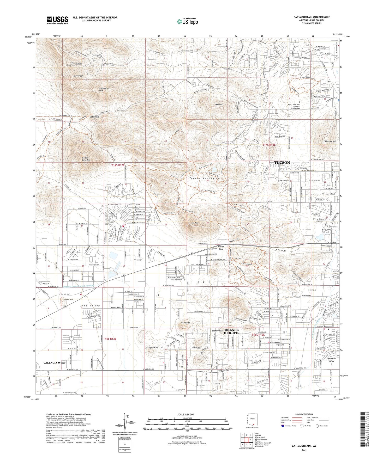
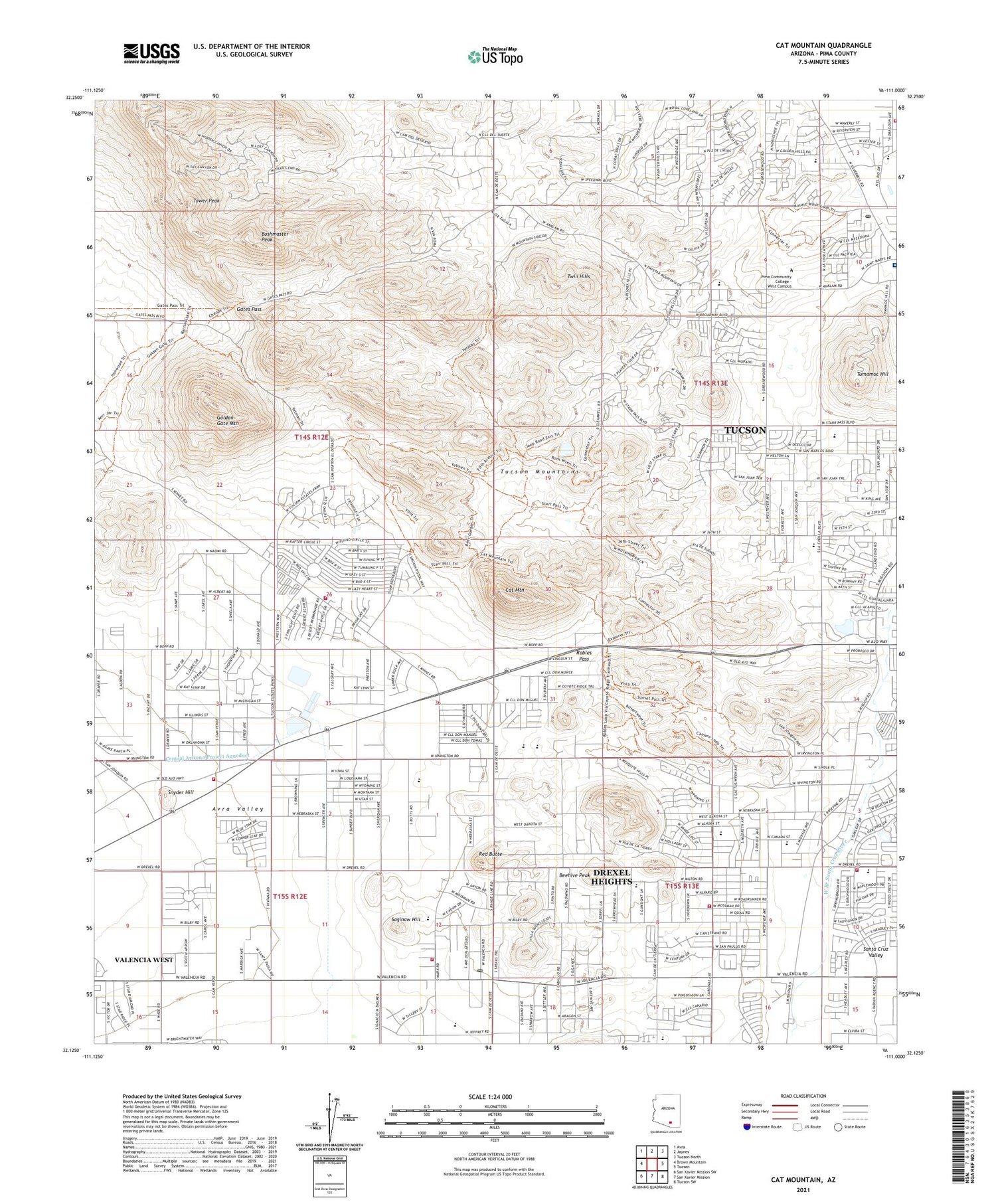
2021 topographic map quadrangle Cat Mountain in the state of Arizona. Scale: 1:24000. Based on the newly updated USGS 7.5' US Topo map series, this map is in the following counties: Pima. The map contains contour data, water features, and other items you are used to seeing on USGS maps, but also has updated roads and other features. This is the next generation of topographic maps. Printed on high-quality waterproof paper with UV fade-resistant inks.
Quads adjacent to this one:
West: Brown Mountain
Northwest: Avra
North: Jaynes
Northeast: Tucson North
East: Tucson
Southeast: Tucson SW
South: San Xavier Mission
Southwest: San Xavier Mission SW
This map covers the same area as the classic USGS quad with code o32111b1.
Contains the following named places: Abiding Savior Free Lutheran Church, Anna Lawrence Elementary School, Anna Lawrence Intermediate School, Aztec Middle College West Campus, Beehive Peak, Branding Iron Mobile Home Park, Brichta Elementary School, Bushmaster Peak, Cactus Garden Mobile Home Park, Calvary Assembly of God, Carondelet Saint Mary's Hospital, Cat Mountain, Cholla High Magnet School, Church of Christ of Mission Valley, Church of the Painted Hills, Columbia Street Baptist Church, Desert Laboratory, Desert Mosaic School, Desert Stream Bible Church, Drexel Heights, Drexel Heights Baptist Church, Drexel Heights Census Designated Place, Drexel Heights Fire District Station 401, Drexel Heights Fire District Station 402, Drexel Heights Fire District Station 404, Drexel Heights Fire Station 403, El Rio Golf Course, Elks Hospital, Emmanuel Grace Apostolic Church, Enchanted Hills Baptist Church, Falcon Ridge Mobile Home Park, Frances J Warren Elementary School, Gates Pass, Golden Gate Mountain, Golden Park for Mobile Homes, Holy Way Presbyterian Church, House of Prayer, Iglesia Gentil En Cristo, International Wildlife Museum, John E White Elementary School, John F Kennedy Park, Johnson Primary School, KCEE-AM (Tucson), Kennedy Park Creek, Kennedy Park Dam, KIIM-FM (Tucson), Kingdom Hall of Jehovahs Witnesses, KKLD-FM (Tucson), KLPX-FM (Tucson), KNST-AM (Tucson), KOLD-TV (Tucson), KPOL-TV (Tucson), KRQQ-FM (Tucson), KTTU-TV (Tucson), KUAS-TV (Tucson), KWFM-FM (Tucson), KXGR-TV (Green Valley), Manzanita Winston Reynolds Park, Maxwell Middle School, Midvale Park Community Shopping Center, Midvale Park Seventh Day Adventist Church, Miller Elementary School, Mission Park Baptist Church, Mission Ridge Park, Mission View Assembly of God, Most Holy Trinity Parish, Mount Zion Lutheran Church, Mountainside Village Mobile Home Park, Northwest Del Rio Park, Old Tucson Estates, Our Lady of Fatima Catholic Church, Oyama Elementary School, Park View Shopping Center, Park West Mobile Homes Estates, Pima Community College, Pima Community College - West Campus, Pima County Public Library Mission Branch, Pima County Public Library Southwest Branch, Pistor Middle School, Pleasant View Baptist Church, Raul Grijalva Elementary School, Red Butte, Robles Pass, Saginaw Hill, Saguaro Hills Adventist Christian School, Sahuaro School, Saint Marys Helistop, Saint Mary's Medical Park, Saint Mary's Medical Plaza, San Juan Park, San Juan Trail, San Xavier Plaza Shopping Center, Santa Cruz Lutheran Church, Snyder Hill, Son Life Chapel, Southwest Alternative High School, Southwest Alternative Middle School, Speedway Greasewood Park, Starr Pass Golf Club, The Church of Jesus Christ of Latter Day Saints, Tolson Elementary School, Tower Peak, Tucson Estates, Tucson Estates Golf Course, Tucson Estates Shopping Center, Tucson Fire Department Station 18, Tucson Fire Department Station 4, Tucson Mountain Baptist Church, Tucson Mountains, Tucson Post Office San Xavier Station, Tucson Post Office Silver Bell Station, Tully Elementary Magnet School, Tumamoc Hill, Twin Hills, University of Arizona Geochronology Laboratories, Valencia Middle School, Valencia West Census Designated Place, Vesey Elementary School, Victory Baptist Church, Vista del Pueblo Park, West Side Church of God, Westgate Shopping Center, ZIP Codes: 85713, 85757


