MyTopo
Tucson SW Arizona US Topo Map
Couldn't load pickup availability
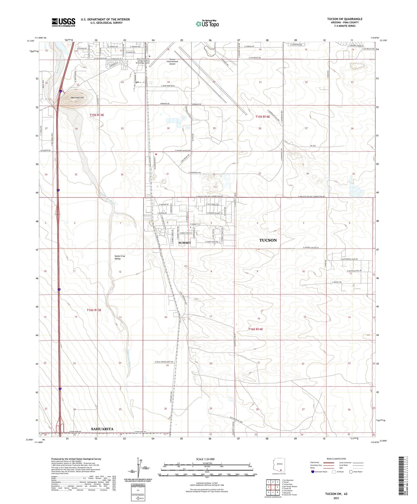
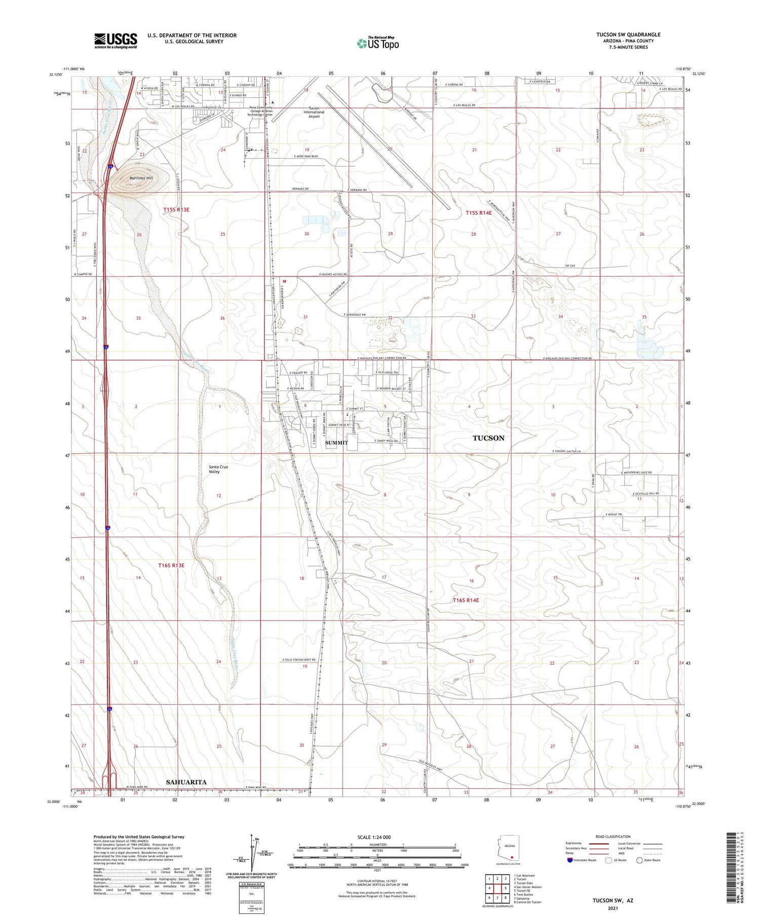
2021 topographic map quadrangle Tucson SW in the state of Arizona. Scale: 1:24000. Based on the newly updated USGS 7.5' US Topo map series, this map is in the following counties: Pima. The map contains contour data, water features, and other items you are used to seeing on USGS maps, but also has updated roads and other features. This is the next generation of topographic maps. Printed on high-quality waterproof paper with UV fade-resistant inks.
Quads adjacent to this one:
West: San Xavier Mission
Northwest: Cat Mountain
North: Tucson
Northeast: Tucson East
East: Tucson SE
Southeast: Corona De Tucson
South: Sahuarita
Southwest: Twin Buttes
This map covers the same area as the classic USGS quad with code o32110a8.
Contains the following named places: Arizona Prarie Mobile Home Park, Cadillac Mobile Home Park, El Camino Mobile Park, Faith Assembly of God, Grancen Railroad Station, KNST-AM (Tucson), KQTL-AM (Sahuarita), Las Palmes Mobile Home Park, Los Reales Industrial Park, Martinez Hill, Mission View Club Estates Mobile Home Park, Pima Community College Aviation Technology Center, Rancho de Martinez, Rural - Metro Fire Department Station 81, Summit, Summit Census Designated Place, Summit View Elementary School, Tucson International Airport, ZIP Code: 85756