MyTopo
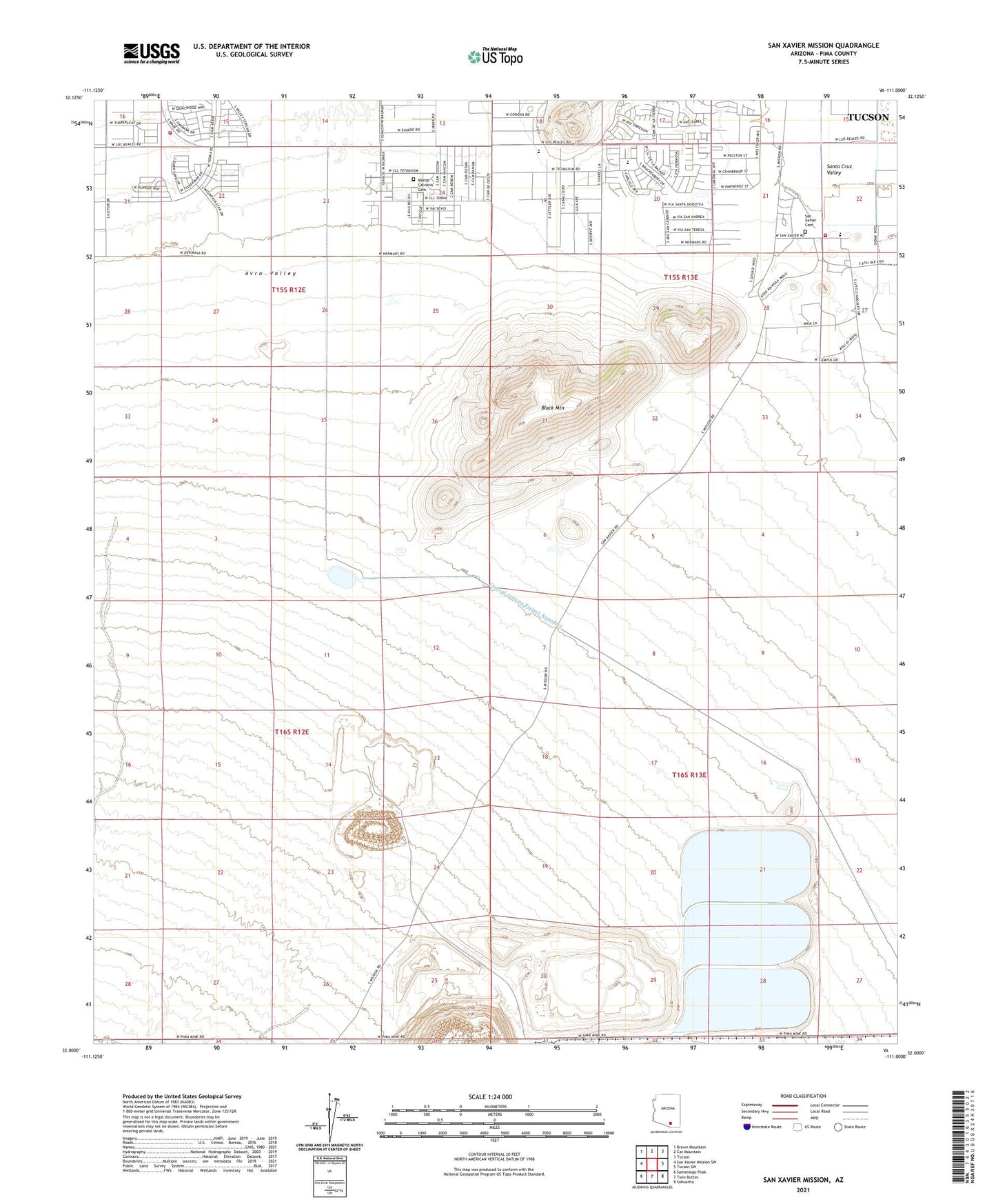
San Xavier Mission Arizona US Topo Map
Couldn't load pickup availability
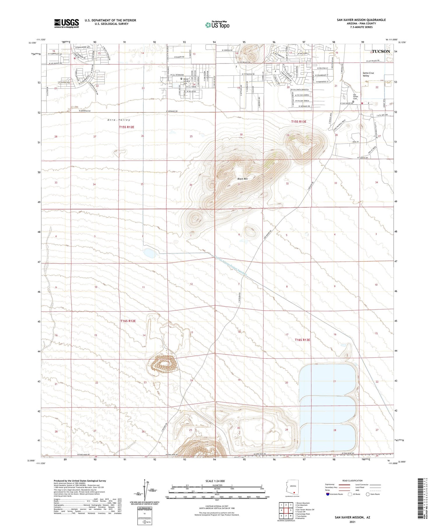
2021 topographic map quadrangle San Xavier Mission in the state of Arizona. Scale: 1:24000. Based on the newly updated USGS 7.5' US Topo map series, this map is in the following counties: Pima. The map contains contour data, water features, and other items you are used to seeing on USGS maps, but also has updated roads and other features. This is the next generation of topographic maps. Printed on high-quality waterproof paper with UV fade-resistant inks.
Quads adjacent to this one:
West: San Xavier Mission SW
Northwest: Brown Mountain
North: Cat Mountain
Northeast: Tucson
East: Tucson SW
Southeast: Sahuarita
South: Twin Buttes
Southwest: Samaniego Peak
This map covers the same area as the classic USGS quad with code o32111a1.
Contains the following named places: Amelia Maldonado Elementary School, Black Mountain, Black Mountain Estates, Cardinal Lane Mobile Home Park, Drexel Heights Fire District Communications, Drexel Heights Fire Station 405, Hohokam Middle School, Monte Calvario Cemetery, Oasis Assembly of God, Pascua Pueblo Yaqui Reservation, Pima Spur, San Xavier Cemetery, San Xavier del Bac Mission, San Xavier District, San Xavier Indian Reservation, San Xavier Mission School, Sonrise Baptist Church, ZIP Code: 85746


