MyTopo
Crookton Arizona US Topo Map
Couldn't load pickup availability
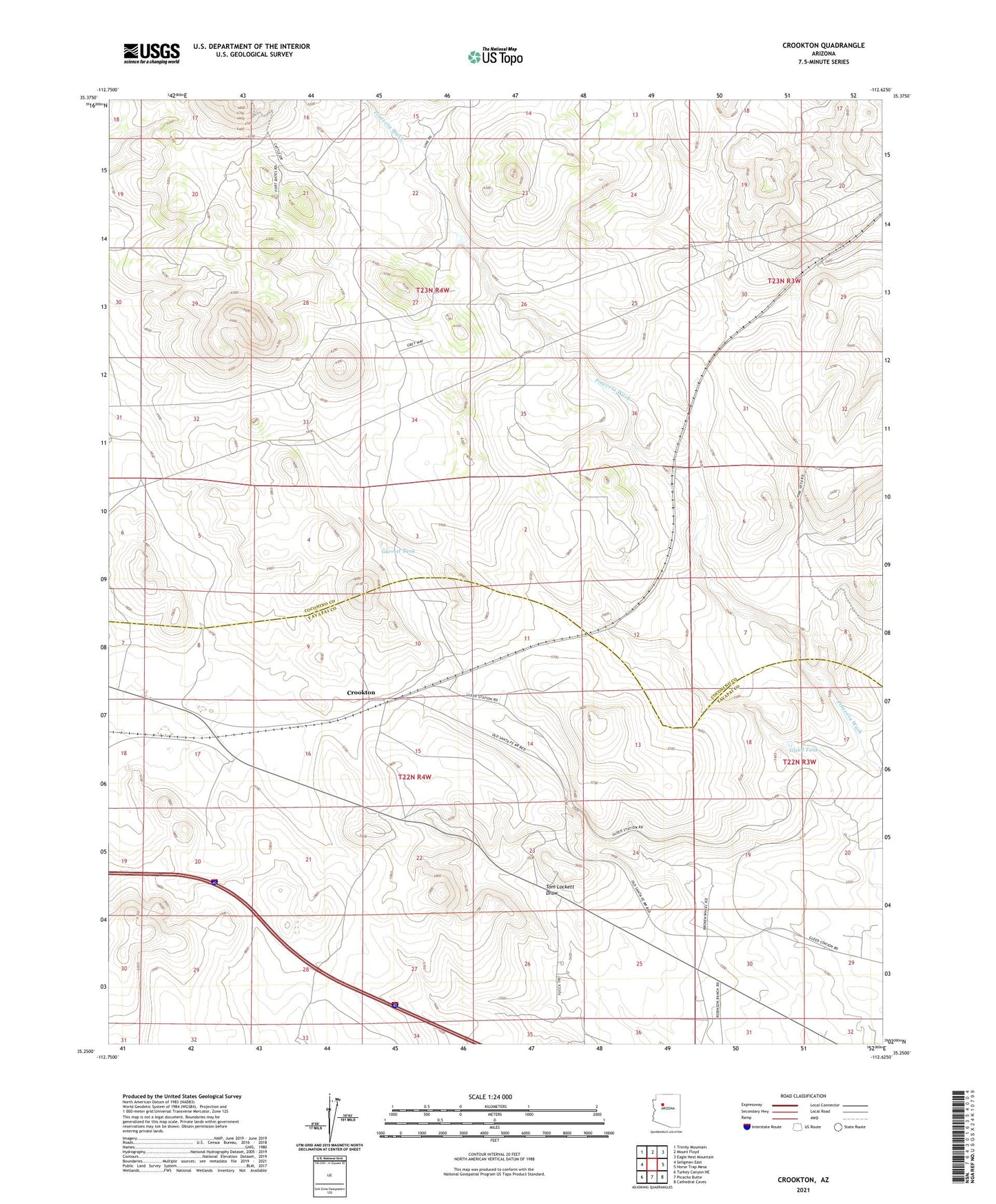
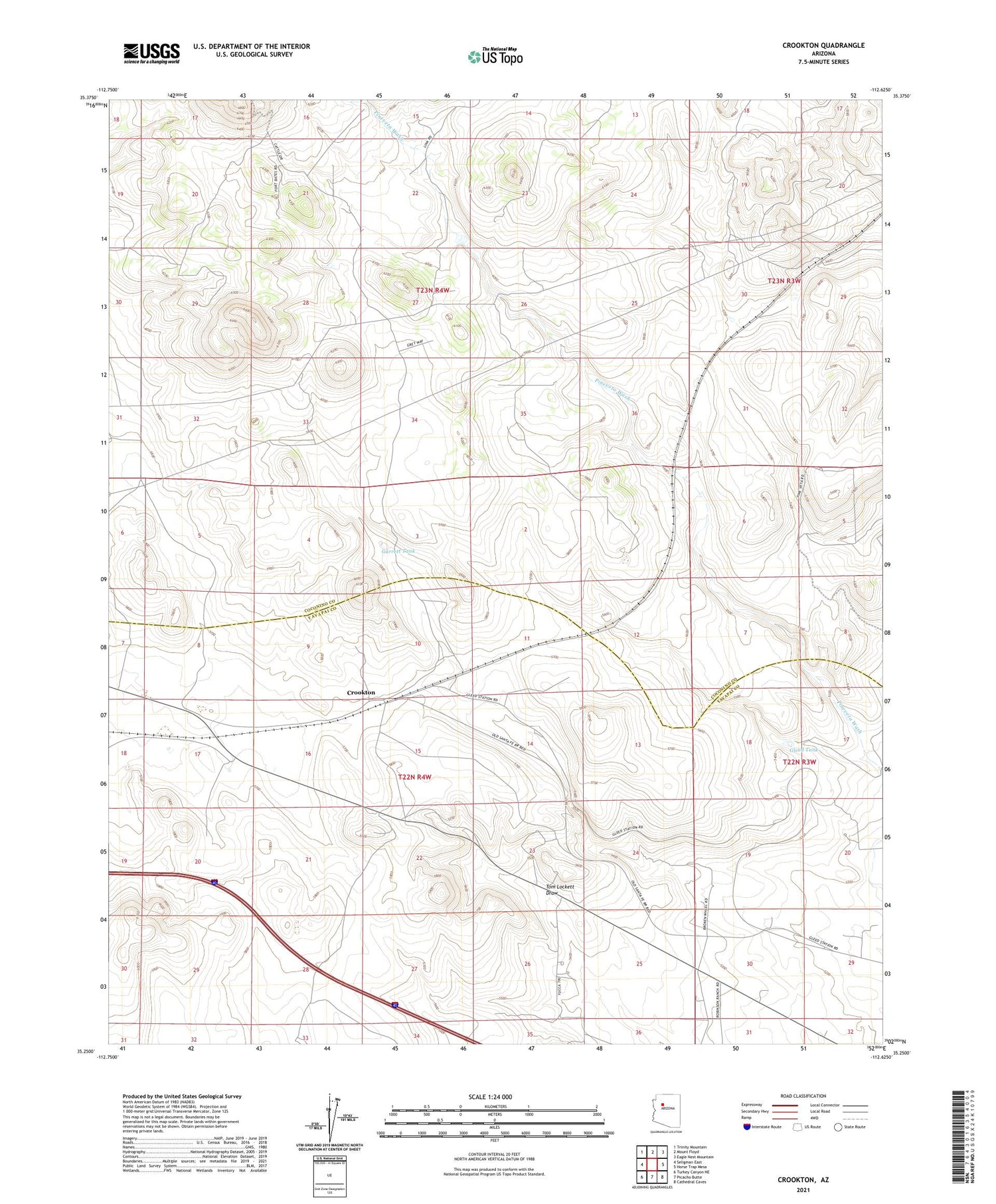
2021 topographic map quadrangle Crookton in the state of Arizona. Scale: 1:24000. Based on the newly updated USGS 7.5' US Topo map series, this map is in the following counties: Coconino, Yavapai. The map contains contour data, water features, and other items you are used to seeing on USGS maps, but also has updated roads and other features. This is the next generation of topographic maps. Printed on high-quality waterproof paper with UV fade-resistant inks.
Quads adjacent to this one:
West: Seligman East
Northwest: Trinity Mountain
North: Mount Floyd
Northeast: Eagle Nest Mountain
East: Horse Trap Mesa
Southeast: Cathedral Caves
South: Picacho Butte
Southwest: Turkey Canyon NE
This map covers the same area as the classic USGS quad with code o35112c6.
Contains the following named places: Crookton, Crookton Overpass, Garrett Tank, Gleed Tank, ZIP Code: 86320