MyTopo
Davenport Hill Arizona US Topo Map
Couldn't load pickup availability
Also explore the Davenport Hill Forest Service Topo of this same quad for updated USFS data
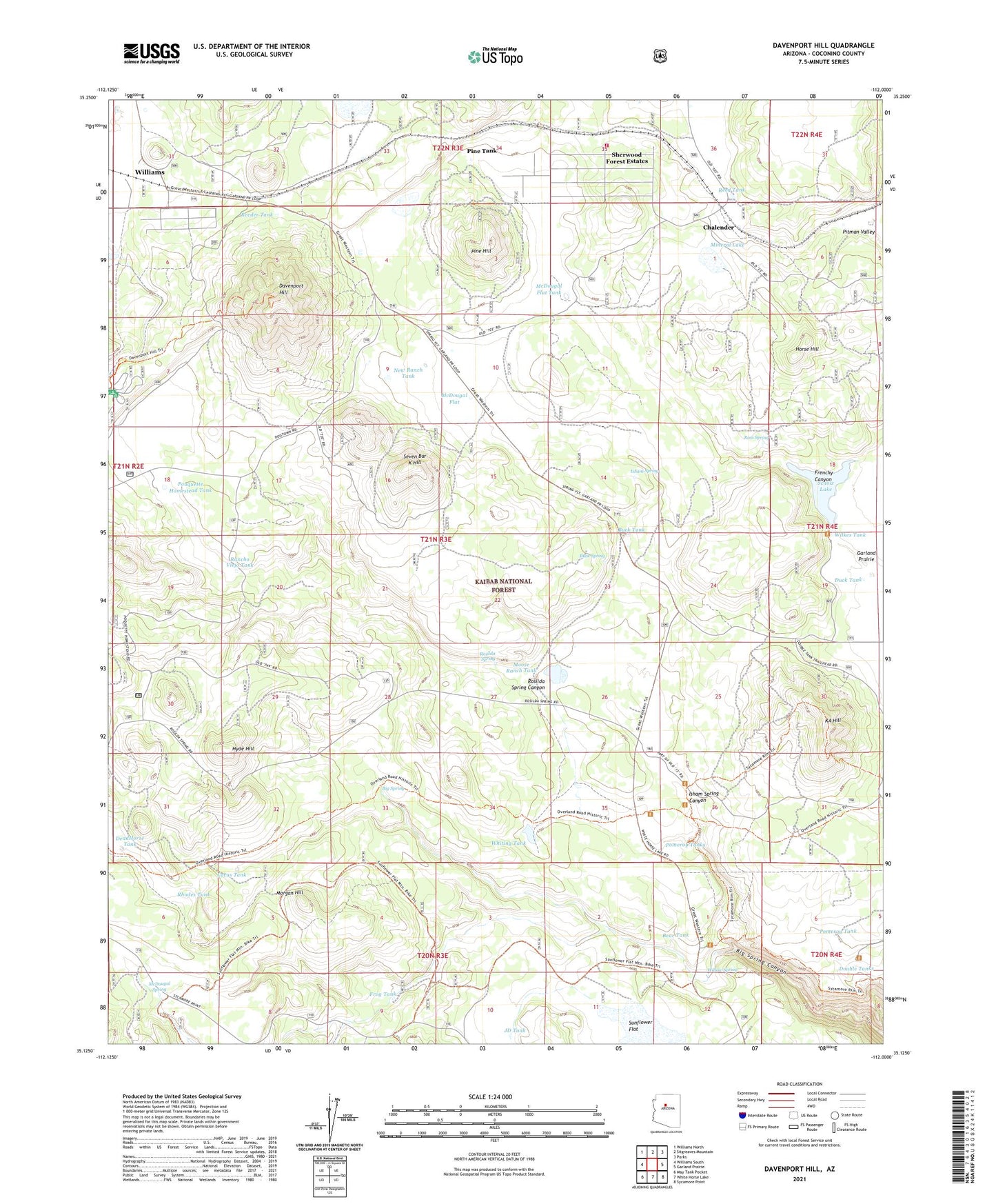
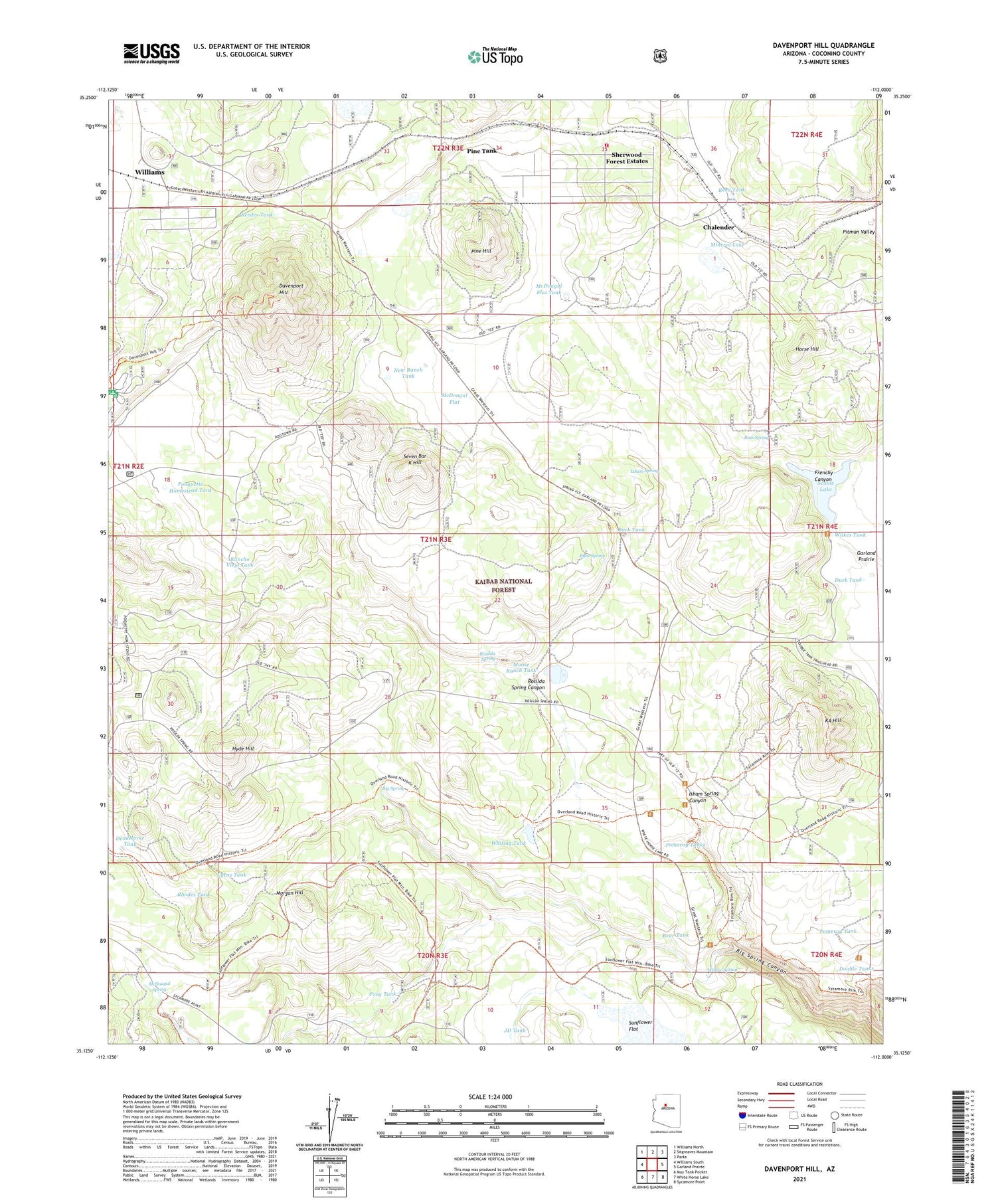
2021 topographic map quadrangle Davenport Hill in the state of Arizona. Scale: 1:24000. Based on the newly updated USGS 7.5' US Topo map series, this map is in the following counties: Coconino. The map contains contour data, water features, and other items you are used to seeing on USGS maps, but also has updated roads and other features. This is the next generation of topographic maps. Printed on high-quality waterproof paper with UV fade-resistant inks.
Quads adjacent to this one:
West: Williams South
Northwest: Williams North
North: Sitgreaves Mountain
Northeast: Parks
East: Garland Prairie
Southeast: Sycamore Point
South: White Horse Lake
Southwest: May Tank Pocket
This map covers the same area as the classic USGS quad with code o35112b1.
Contains the following named places: Bear Tank, Big Spring, Bootlegger Crossing, Buck Spring, Buck Tank, Buck Wildlife Guzzler, Cat Tank, Chalender, Davenport Hill, DeadHorse Tank, Dogtown Campground, Dogtown Reservoir Recreation Site, Dogtown Tank, Double Tanks, Duck Tank, Frenchy Canyon, Frog Tank, Horse Hill, Horse Hill Wildlife Guzzler, Hyde Hill, Isham Spring, Isham Spring Canyon, JD Cabin, JD Tank, KA Hill, Lucas Tank, McDougal Flat, McDougal Flat Tank, McDougal Spring, Mineral Lake, Moose Ranch Tank, Moose Well, Morgan Hill, New Ranch Tank, Pine Hill, Pine Tank, Pitman Valley, Pomeroy Tank, Pomeroy Tanks, Pouquette Homestead Tank, Rancho Viejo Tank, Reed Tank, Reeder Tank, Rhodes Tank, Rosilda Spring, Rosilda Spring Canyon, Ross Spring, Santa Fe Tank, Scholz Lake, Seven Bar K Hill, Sherwood Forest Estates, Sherwood Forest Fire District, Sunflower Flat, Sycamore Rim Trail, Whiting Tank, Wilkes Tank, Willow Spring


