MyTopo
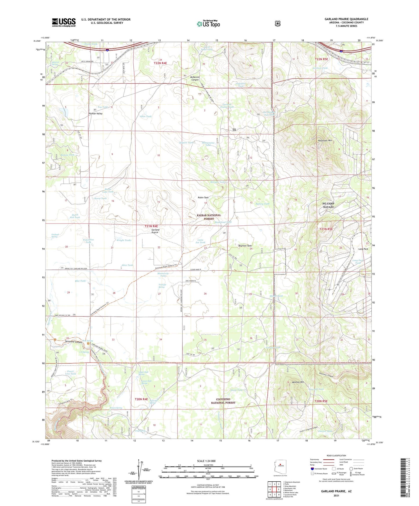
Garland Prairie Arizona US Topo Map
Couldn't load pickup availability
Also explore the Garland Prairie Forest Service Topo of this same quad for updated USFS data
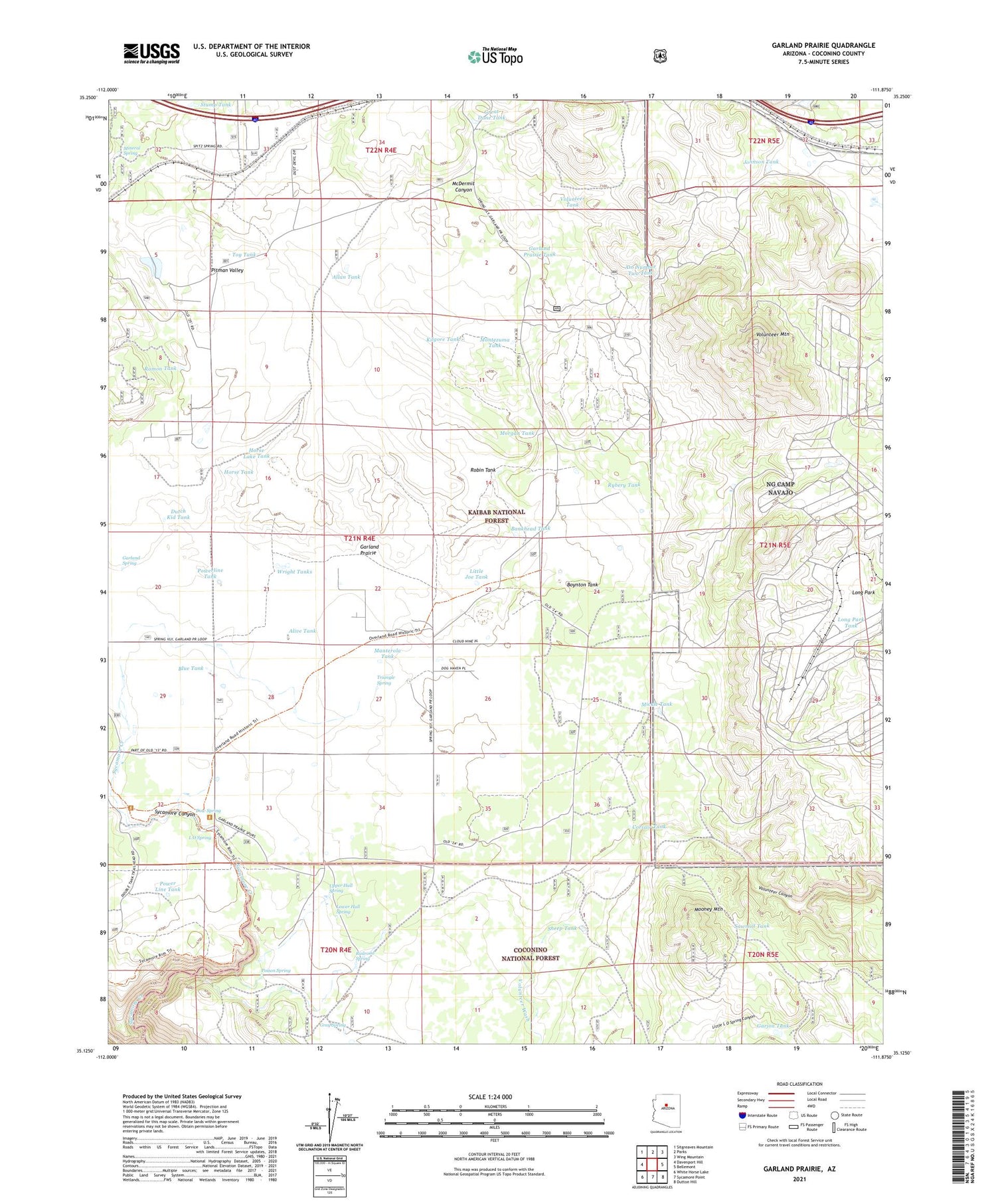
2021 topographic map quadrangle Garland Prairie in the state of Arizona. Scale: 1:24000. Based on the newly updated USGS 7.5' US Topo map series, this map is in the following counties: Coconino. The map contains contour data, water features, and other items you are used to seeing on USGS maps, but also has updated roads and other features. This is the next generation of topographic maps. Printed on high-quality waterproof paper with UV fade-resistant inks.
Quads adjacent to this one:
West: Davenport Hill
Northwest: Sitgreaves Mountain
North: Parks
Northeast: Wing Mountain
East: Bellemont
Southeast: Dutton Hill
South: Sycamore Point
Southwest: White Horse Lake
This map covers the same area as the classic USGS quad with code o35111b8.
Contains the following named places: Alive Tank, Allan Tank, Aso Number Two Tank, Bankhead Tank, Blue Tank, Boynton Tank, Camp Navajo, Corsair Tank, Dow Spring, Dutch Kid Tank, Garjon Tank, Garland Prairie, Garland Prairie Tank, Garland Spring, Gray Spring, Gray Tank, Great Dane Tank, Green Tank, Horse Lake, Horse Lake Tank, Horse Tank, Johnson Tank, Kilgore Tank, L O Spring, Little Joe Tank, Long Park, Long Park Tank, Lower Hull Spring, Manterola Tank, McDermit Canyon, Mickle Tank, Mineral Spring, Montezuma Tank, Mooney Mountain, Morgan Tank, Mustang Tank, Poison Spring, Power Line Tank, Powerline Tank, Railroad Spring, Ramon Tank, Raymond Pit, Robin Tank, Rybery Tank, Sawmill Tank, Sheep Tank, Spitz Spring Overpass, Spitz Spring Underpass, Stump Tank, Sunrise Ranch Airport, Toy Tank, Triangle Spring, Upper Hull Spring, Volunteer Mountain, Volunteer Tank, Wright Tanks, ZIP Code: 86018


