MyTopo
Devils Hump Arizona US Topo Map
Couldn't load pickup availability
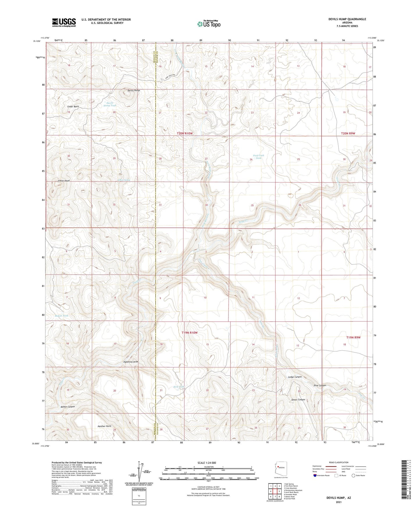
2021 topographic map quadrangle Devils Hump in the state of Arizona. Scale: 1:24000. Based on the newly updated USGS 7.5' US Topo map series, this map is in the following counties: Yavapai, Mohave. The map contains contour data, water features, and other items you are used to seeing on USGS maps, but also has updated roads and other features. This is the next generation of topographic maps. Printed on high-quality waterproof paper with UV fade-resistant inks.
Quads adjacent to this one:
West: Penitentiary Mountain
Northwest: Bull Spring
North: Fort Rock Ranch
Northeast: Cross Mountain
East: Anvil Rock Ranch
Southeast: Sunrise Peak
South: Mohon Peak
Southwest: Gonzales Wash
This map covers the same area as the classic USGS quad with code o35113a3.
Contains the following named places: Butch Nichols Tank, Charley Tank, Cow Creek, Devils Hump, Devils Hump Tank, Fork Rock Creek, Fred Cook Tank, Indian Head, Jean Entz Tank, Kirk Tank, Last Minute Well, Ledge Canyon, Mohon Canyon, Mohon Tank, Palomino Draw, Pine Canyon, Pocket Tank, Sewer Canyon, Thumb Rock Well, Well Number Five, Willow Spring