MyTopo
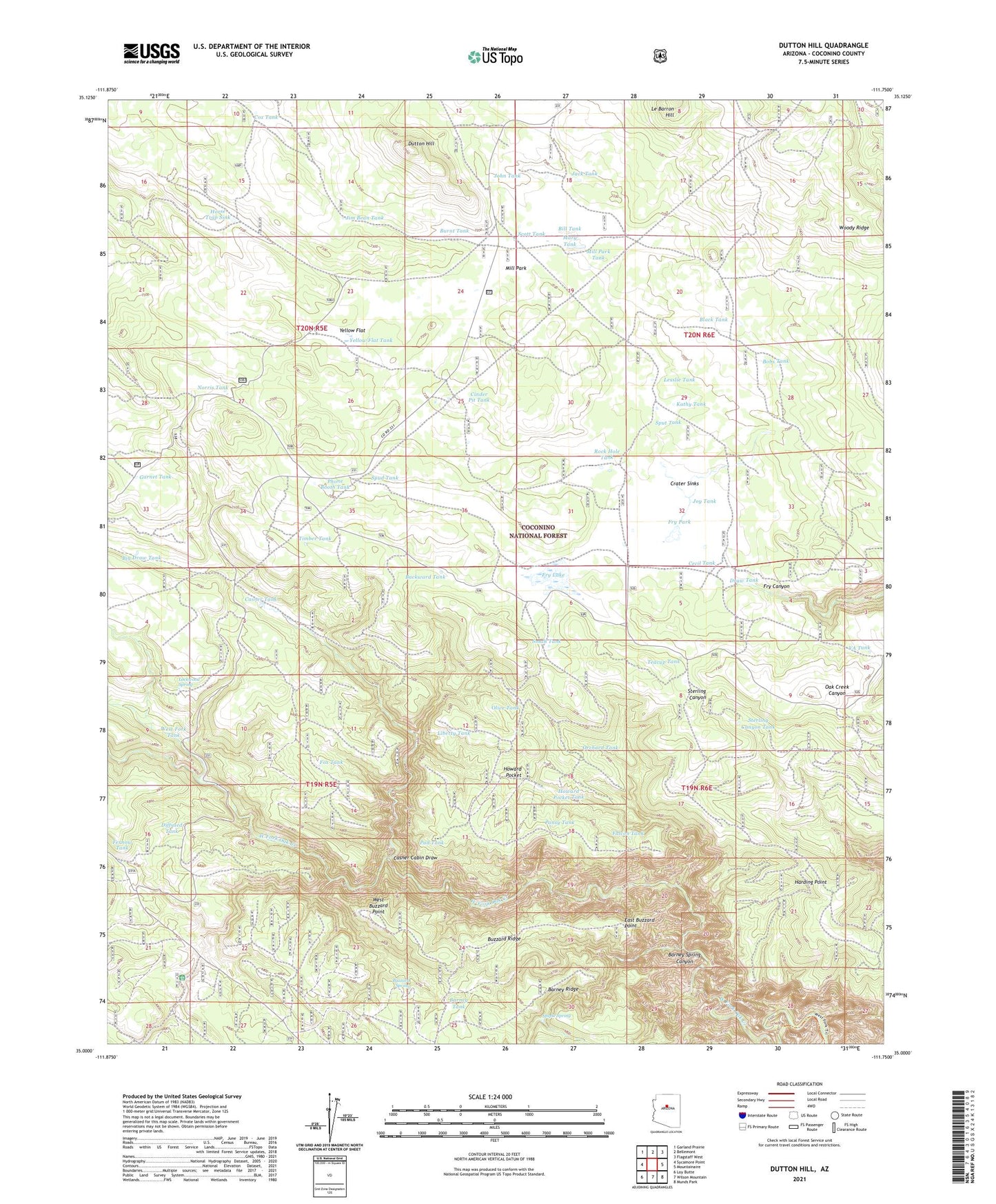
Dutton Hill Arizona US Topo Map
Couldn't load pickup availability
Also explore the Dutton Hill Forest Service Topo of this same quad for updated USFS data
2021 topographic map quadrangle Dutton Hill in the state of Arizona. Scale: 1:24000. Based on the newly updated USGS 7.5' US Topo map series, this map is in the following counties: Coconino. The map contains contour data, water features, and other items you are used to seeing on USGS maps, but also has updated roads and other features. This is the next generation of topographic maps. Printed on high-quality waterproof paper with UV fade-resistant inks.
Quads adjacent to this one:
West: Sycamore Point
Northwest: Garland Prairie
North: Bellemont
Northeast: Flagstaff West
East: Mountainaire
Southeast: Munds Park
South: Wilson Mountain
Southwest: Loy Butte
This map covers the same area as the classic USGS quad with code o35111a7.
Contains the following named places: Backward Tank, Barney Ridge, Barney Spring Canyon, Barney Tank, Big Draw Tank, Bill Tank, Black Pass Tank, Black Tank, Bobs Tank, Brown Tank, Burnt Tank, Buzzard Ridge, Buzzard Spring, Casner Cabin Draw, Casner Tank, Cecil Tank, Cinder Pit Tank, Cox Tank, Crater Sinks, Diffused Tank, Draw Tank, Dutton Hill, East Buzzard Point, Falcon Tank, Fernow Tank, Fox Tank, Fry Lake, Fry Park, Garnet Tank, Harding Point, Harding Point Tank, Horse Trap Sink, Howard Pocket, Howard Pocket Tank, Jack Tank, Jim Bean Tank, John Tank, Joy Tank, Kathy Tank, Lesslie Tank, Liberty Tank, Lockwood Spring, Maple Spring, Mary Tank, Mill Park, Mill Park Tank, Norris Tank, Oak Creek Canyon Natural Area, Olive Tank, Orchard Tank, Pad Tank, Pansy Tank, Phone Booth Tank, Road Tank, Rock Hole Tank, Scott Tank, Small Tank, Spud Tank, Sput Tank, Sterling Canyon Tank, Teacup Tank, Timber Tank, Turkey Tank, VA Tank, West Buzzard Point, West Fork Tank, Woody Ridge, Yellow Flat, Yellow Flat Tank


