MyTopo
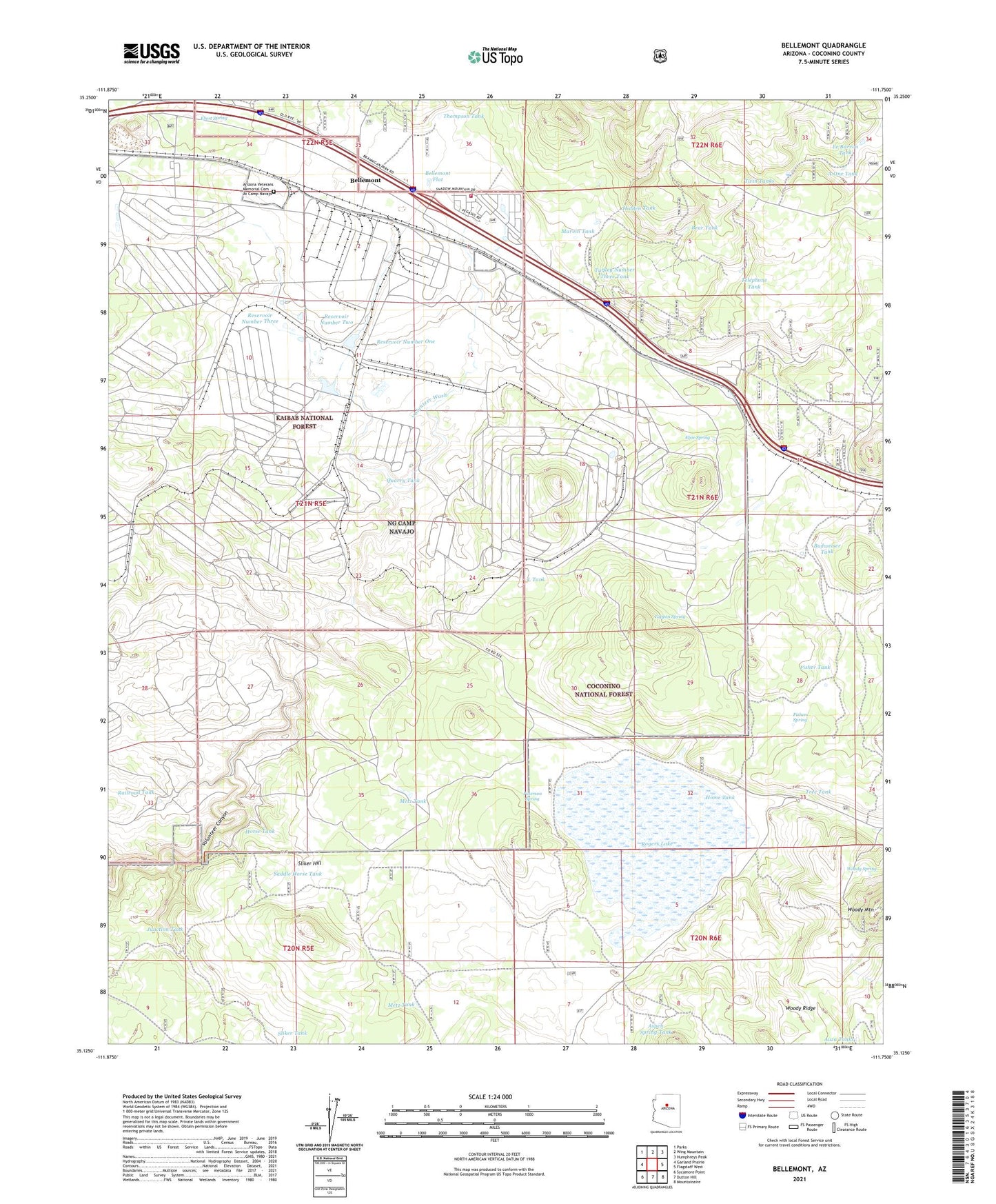
Bellemont Arizona US Topo Map
Couldn't load pickup availability
Also explore the Bellemont Forest Service Topo of this same quad for updated USFS data
2021 topographic map quadrangle Bellemont in the state of Arizona. Scale: 1:24000. Based on the newly updated USGS 7.5' US Topo map series, this map is in the following counties: Coconino. The map contains contour data, water features, and other items you are used to seeing on USGS maps, but also has updated roads and other features. This is the next generation of topographic maps. Printed on high-quality waterproof paper with UV fade-resistant inks.
Quads adjacent to this one:
West: Garland Prairie
Northwest: Parks
North: Wing Mountain
Northeast: Humphreys Peak
East: Flagstaff West
Southeast: Mountainaire
South: Dutton Hill
Southwest: Sycamore Point
This map covers the same area as the classic USGS quad with code o35111b7.
Contains the following named places: A-One Tank, Aspen Spring Ranch, Aspen Spring Tank, Atherton Lake, Auza Tanks, Bear Tank, Bellemont, Bellemont Census Designated Place, Bellemont Flat, Bellemont Siding, Budweiser Tank, Camp Navajo, Ebert Spring, Elsie Spring, Fisher Tank, Fishers Spring, Hidden Tank, Home Tank, Horse Tank, Junction Tank, Kelly Tank, L Tank, Lake Tank, Le Barron Hill, Le Barron Tank, Marvin Spring, Marvin Tank, Metz Tank, Paterson Spring, Ponderosa Fire District Station 82, Quarry Tank, Railroad Tank, Ray Tank, Reservoir Number One, Reservoir Number Three, Reservoir Number Two, Rogers Lake, Saddle Horse Tank, Sliker Hill, Sliker Tank, Tappen Spring, Telephone Tank, Thompson Tank, Tree Tank, Turkey Number Three Tank, Twin Tanks, Woody Mountain, Woody Spring, ZIP Code: 86015