MyTopo
Gila Butte NW Arizona US Topo Map
Couldn't load pickup availability
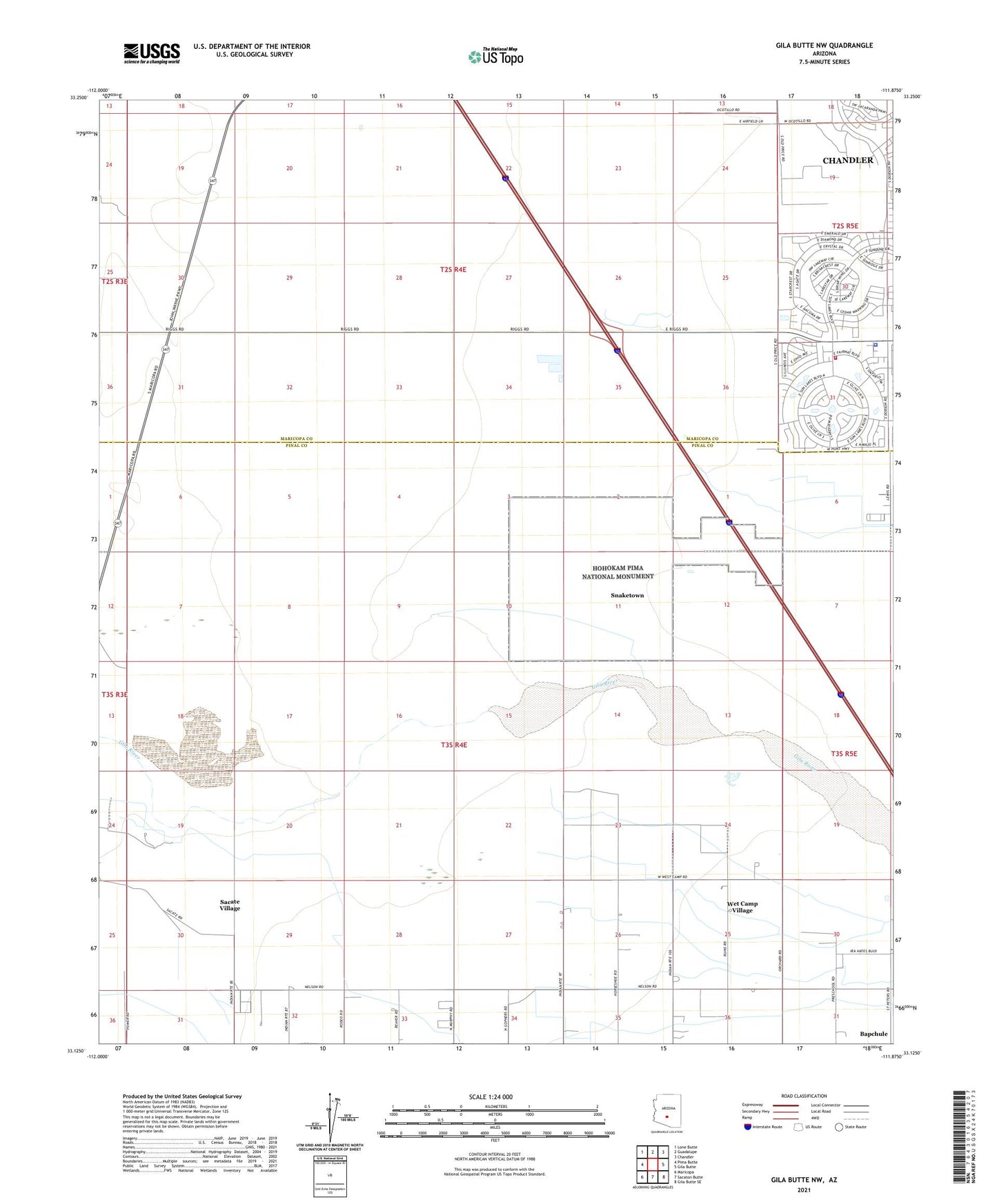
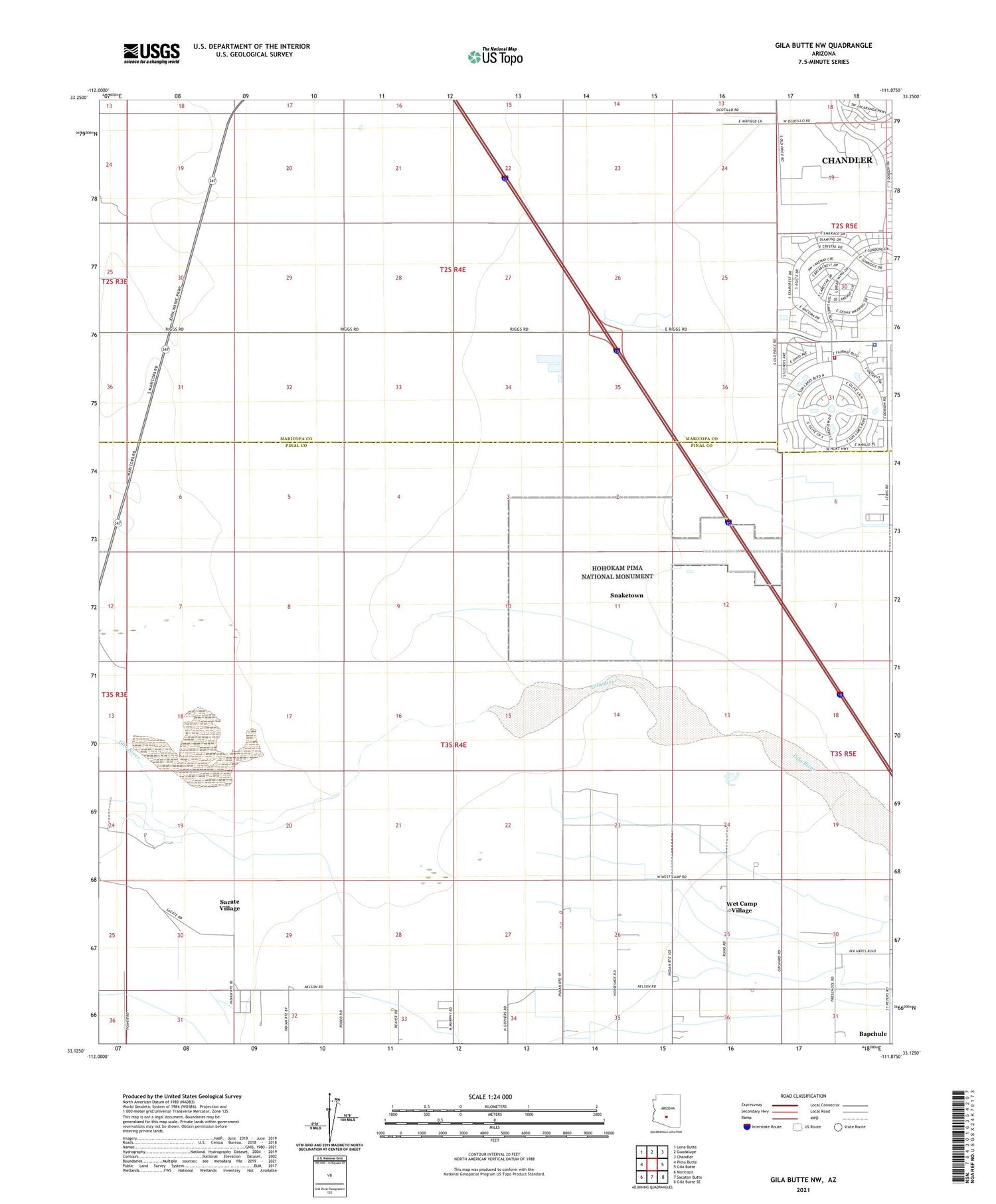
2021 topographic map quadrangle Gila Butte NW in the state of Arizona. Scale: 1:24000. Based on the newly updated USGS 7.5' US Topo map series, this map is in the following counties: Pinal, Maricopa. The map contains contour data, water features, and other items you are used to seeing on USGS maps, but also has updated roads and other features. This is the next generation of topographic maps. Printed on high-quality waterproof paper with UV fade-resistant inks.
Quads adjacent to this one:
West: Pima Butte
Northwest: Lone Butte
North: Guadalupe
Northeast: Chandler
East: Gila Butte
Southeast: Gila Butte SE
South: Sacaton Butte
Southwest: Maricopa
This map covers the same area as the classic USGS quad with code o33111b8.
Contains the following named places: Adventist Church, Bapchule Community Center, First Baptist Church of Sun Lakes, Gila River Indian Reservation, Gila River Memorial Airport, Hohokam Pima National Monument, Maricopa County Library District Ed Robson Branch, Sacate Village Census Designated Place, Saint Francis Borgia Church, Saint Stevens Catholic Church, Snaketown, Sun Lakes, Sun Lakes Golf Course, Sun Lakes Mobile Home Park, Sun Lakes Sheriff's Posse, Sun Lakes United Methodist Church, United Church of Sun Lakes, Wet Camp Village Census Designated Place, ZIP Code: 85121