MyTopo
Hennessy Buttes Arizona US Topo Map
Couldn't load pickup availability
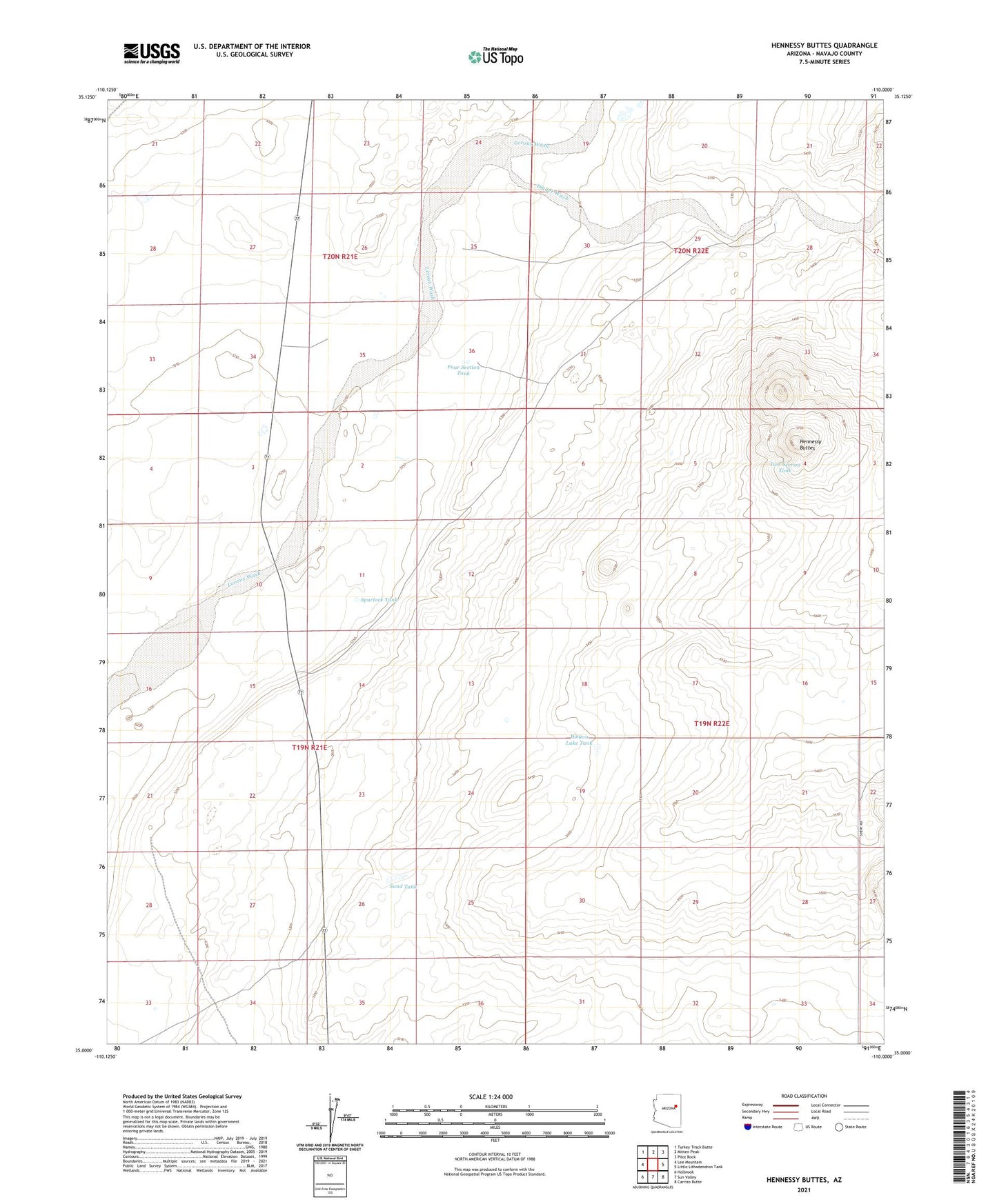
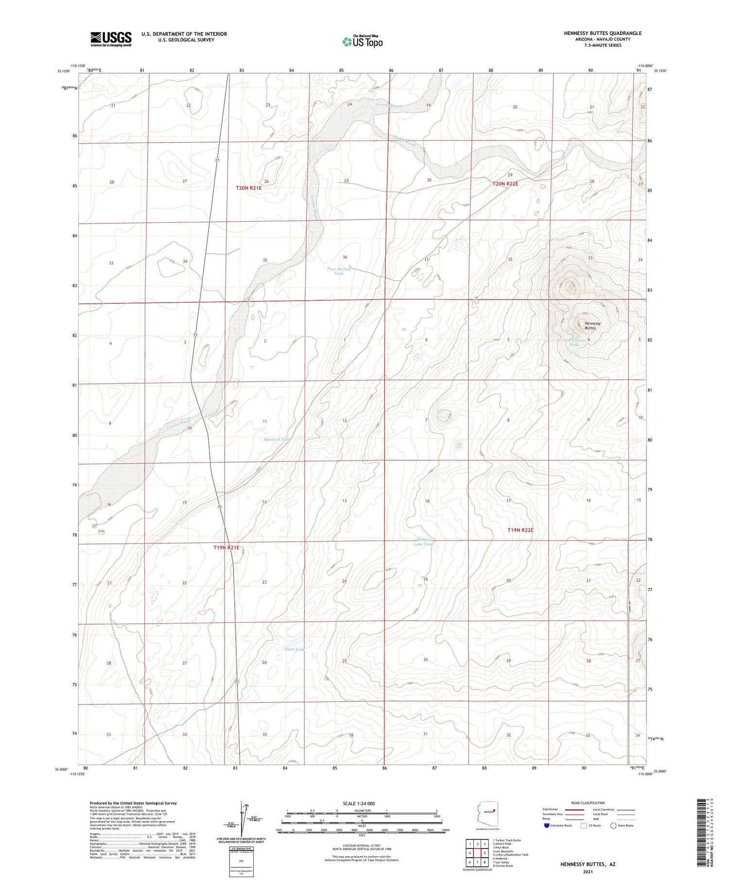
2021 topographic map quadrangle Hennessy Buttes in the state of Arizona. Scale: 1:24000. Based on the newly updated USGS 7.5' US Topo map series, this map is in the following counties: Navajo. The map contains contour data, water features, and other items you are used to seeing on USGS maps, but also has updated roads and other features. This is the next generation of topographic maps. Printed on high-quality waterproof paper with UV fade-resistant inks.
Quads adjacent to this one:
West: Lee Mountain
Northwest: Turkey Track Butte
North: Mitten Peak
Northeast: Pilot Rock
East: Little Lithodendron Tank
Southeast: Carrizo Butte
South: Sun Valley
Southwest: Holbrook
This map covers the same area as the classic USGS quad with code o35110a1.
Contains the following named places: Digger Wash, Four Section Tank, Hennessy Buttes, Sand Tank, Spurlock Tank, Two Section Tank, Wagon Lake Tank