MyTopo
Kachina Point Arizona US Topo Map
Couldn't load pickup availability
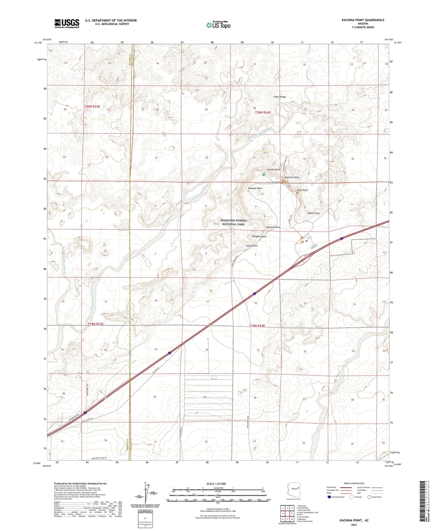
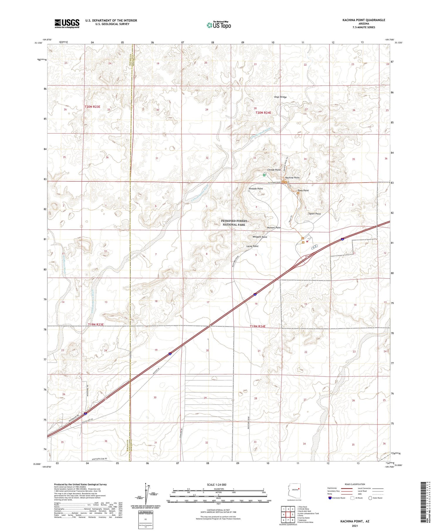
2021 topographic map quadrangle Kachina Point in the state of Arizona. Scale: 1:24000. Based on the newly updated USGS 7.5' US Topo map series, this map is in the following counties: Apache, Navajo. The map contains contour data, water features, and other items you are used to seeing on USGS maps, but also has updated roads and other features. This is the next generation of topographic maps. Printed on high-quality waterproof paper with UV fade-resistant inks.
Quads adjacent to this one:
West: Little Lithodendron Tank
Northwest: Pilot Rock
North: Chinde Mesa
Northeast: North Mill Well
East: Pinta
Southeast: Sorrel Horse Mesa
South: Adamana
Southwest: Carrizo Butte
This map covers the same area as the classic USGS quad with code o35109a7.
Contains the following named places: Black Forest, Chinde Point, Kachina Point, Lacey Point, Nizhoni Point, Onyx Bridge, Painted Desert Inn, Painted Desert Visitor Center, Petrified Forest National Park Fire Department, Petrified Forest National Wilderness Area, Petrified Forest Overpass, Pintado Point, Tawa Point, Tiponi Point, Whipple Point, Wildhorse Wash, ZIP Code: 86028