MyTopo
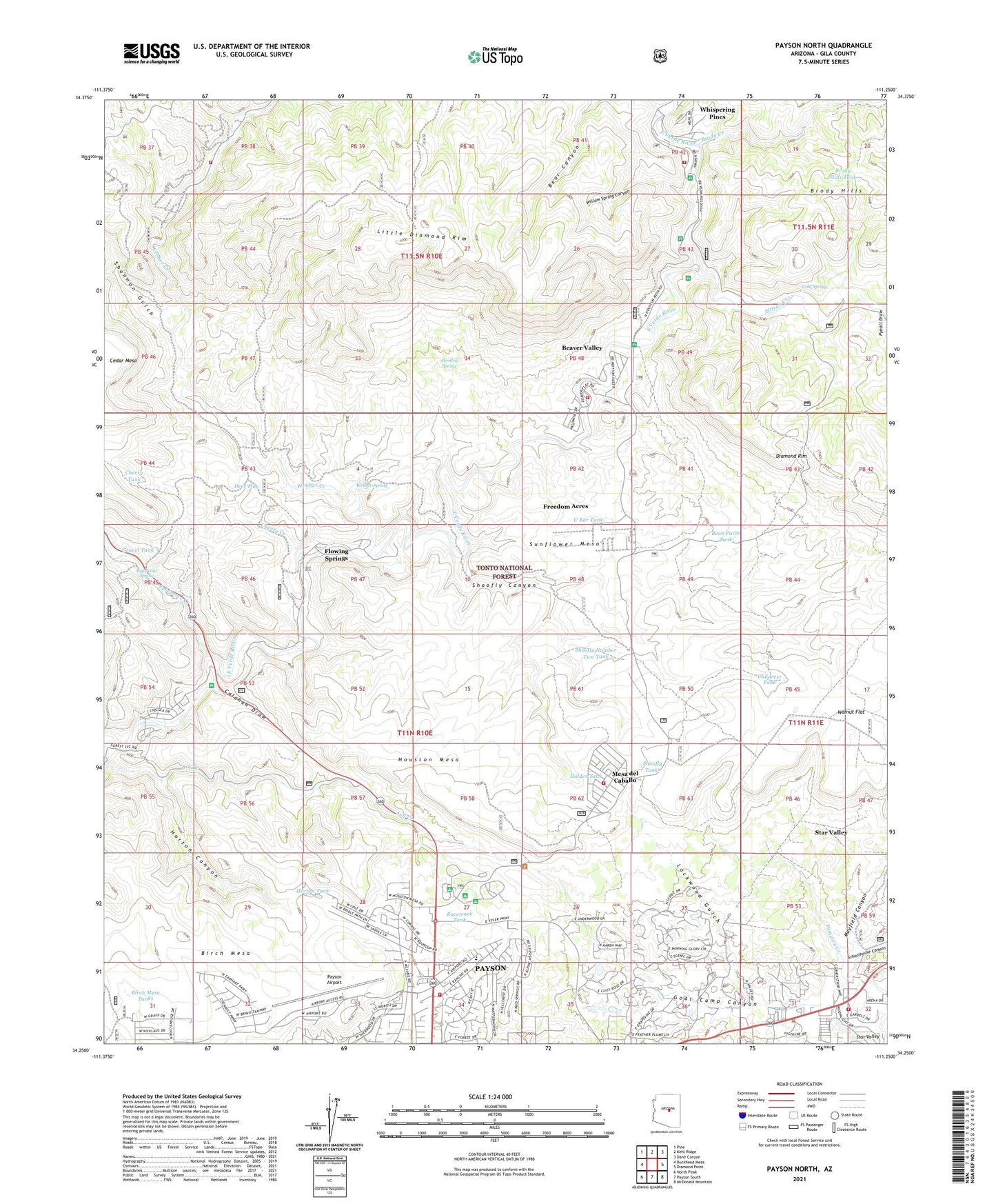
Payson North Arizona US Topo Map
Couldn't load pickup availability
Also explore the Payson North Forest Service Topo of this same quad for updated USFS data
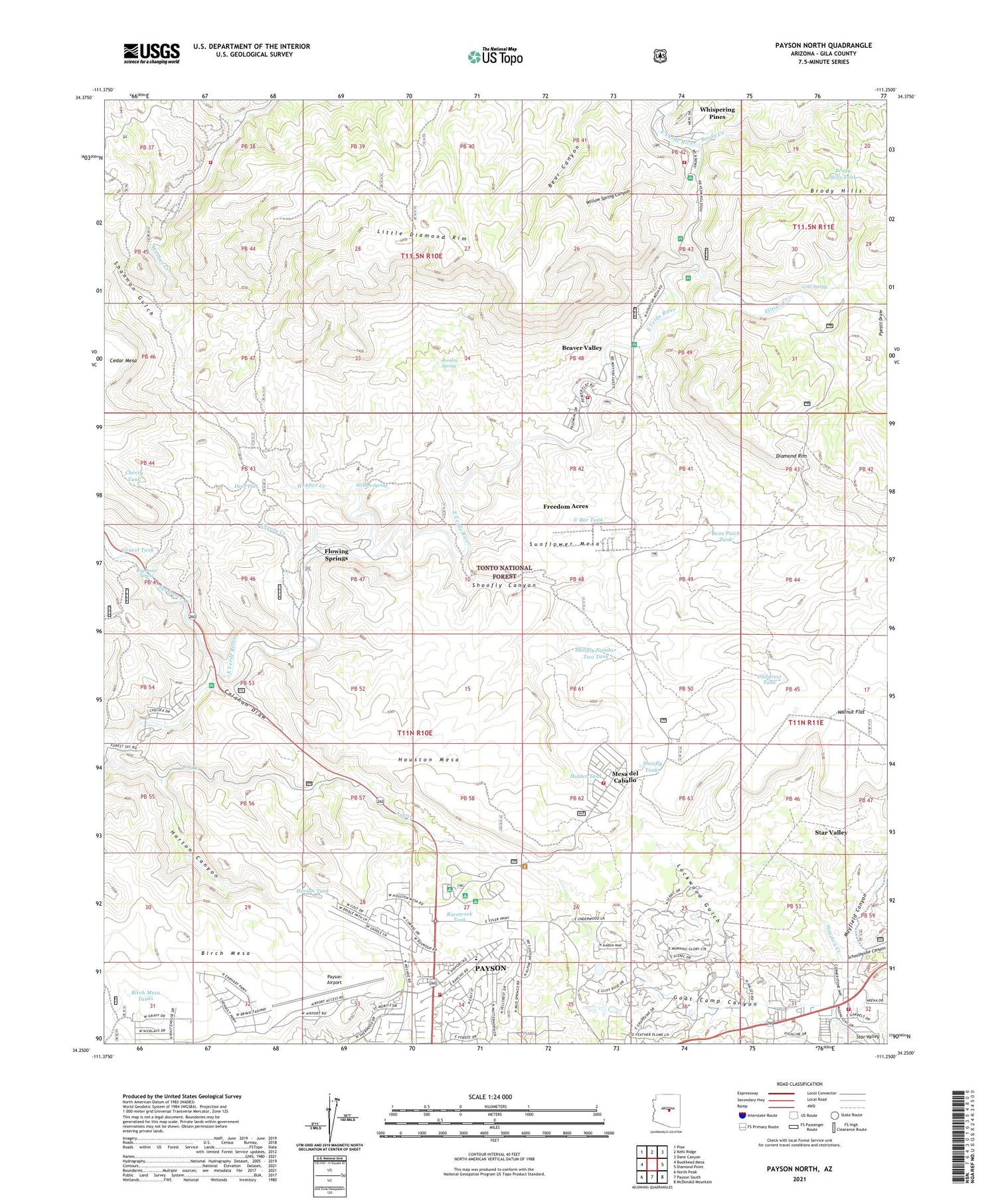
2021 topographic map quadrangle Payson North in the state of Arizona. Scale: 1:24000. Based on the newly updated USGS 7.5' US Topo map series, this map is in the following counties: Gila. The map contains contour data, water features, and other items you are used to seeing on USGS maps, but also has updated roads and other features. This is the next generation of topographic maps. Printed on high-quality waterproof paper with UV fade-resistant inks.
Quads adjacent to this one:
West: Buckhead Mesa
Northwest: Pine
North: Kehl Ridge
Northeast: Dane Canyon
East: Diamond Point
Southeast: McDonald Mountain
South: Payson South
Southwest: North Peak
This map covers the same area as the classic USGS quad with code o34111c3.
Contains the following named places: Ash Creek, Bean Patch Tank, Bear Canyon, Bear Canyon Tank, Beaver Valley Census Designated Place, Beaver Valley Estates, Beaver Valley Fire Department, Birch Mesa Tanks, Bootleg Spring, Boy Scout Spring, Brody Creek, Brody Hills, Brody Hills Tank, Butcher Creek, Calahan Draw, Calvary Chapel, Cedar Mesa Tank, Cherry Creek, Cherry Tank, Childress Tank, Church of the Holy Nativity, Cold Spring, Deer Flat, Deer Flat Tank, East Verde Crossing, East Verde Estates Census Designated Place, East Verde Park, Ellison Creek, First Crossing Campground, Flowing Springs, Flowing Springs Campground, Flowing Springs Census Designated Place, Freedom Acres, Freedom Acres Census Designated Place, Geronimo Estates, Geronimo Estates Census Designated Place, Gila County Maintenance Yard, Goat Camp Canyon, Gravel Tank, Hells Half Acre, Hellsgate Fire Department Station 21 Star Valley, Holder Tank, Horton Canyon, Horton Tank, Houston Mesa, Houston Mesa Family Campground, Houston Mesa Fire Department, Houston Mesa Group Campground, Kingdom Hall of Jehovahs Witnesses, KMOG-AM (Payson), Lamplighter Mobile Park, Little Diamond Rim, Lockwood Gulch, Mayfield Canyon, Mesa del Caballo, Mesa del Caballo Census Designated Place, Oak Park Mobile Home Park, Oxbow Estates Mobile Home Park, Payson Airport, Payson Christian Church, Payson Church of Christ, Payson Division, Payson Elementary School, Payson First Church of the Nazarene, Payson Ranger District, Ponderosa Baptist Church, Ponderosa Glen Mobile Home Park, Pot Hole Tank, Pyeatt Draw, Racetrack Tank, Saint Paul's Episcopal Church, Schoolhouse Canyon, Second Crossing Campground, Shannon Gulch, Shoofly Canyon, Shoofly Number Two Tank, Shoofly Tanks, Star Vale Mobile Home Park, Star Valley, Star Valley Southern Baptist Church, Sunflower Mesa, Sycamore Creek, Sycamore Forest Camp, The Golf Club at Chaparral Pines, Third Crossing Campground, Tonto National Forest Seismological Observatory, U Bar Tank, Walnut Flat, Water Wheel Campground, Webber Creek, Webber Spring, Weimer Tank, Whispering Pines, Whispering Pines Census Designated Place, Whispering Pines Volunteer Fire Department Station 71, Whispering Pines Volunteer Fire Department Station 73 Geronimo Estates, Willow Spring Canyon, Wonder Valley


