MyTopo
Kielberg Canyon Arizona US Topo Map
Couldn't load pickup availability
Also explore the Kielberg Canyon Forest Service Topo of this same quad for updated USFS data
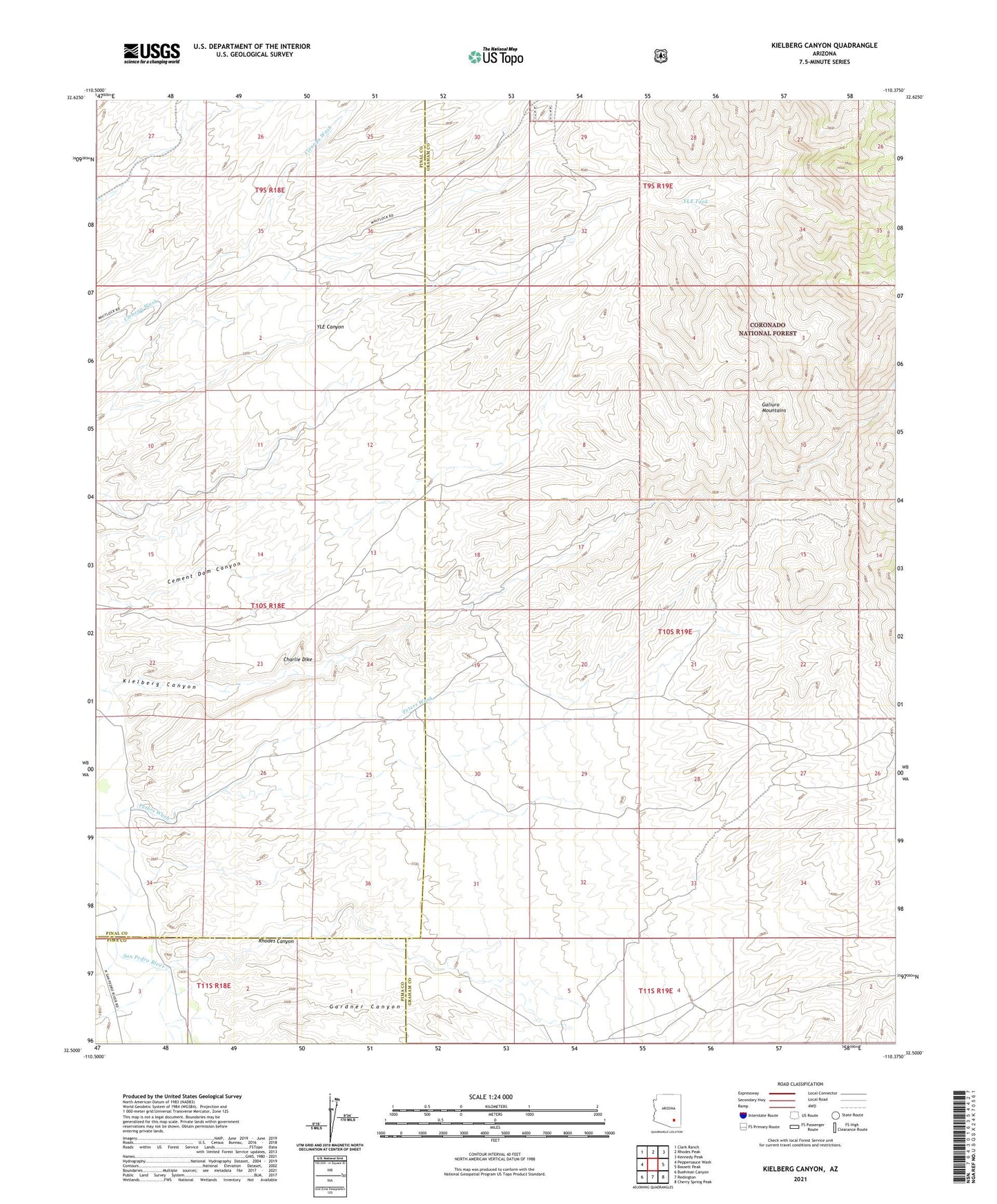
2021 topographic map quadrangle Kielberg Canyon in the state of Arizona. Scale: 1:24000. Based on the newly updated USGS 7.5' US Topo map series, this map is in the following counties: Graham, Pinal, Pima. The map contains contour data, water features, and other items you are used to seeing on USGS maps, but also has updated roads and other features. This is the next generation of topographic maps. Printed on high-quality waterproof paper with UV fade-resistant inks.
Quads adjacent to this one:
West: Peppersauce Wash
Northwest: Clark Ranch
North: Rhodes Peak
Northeast: Kennedy Peak
East: Bassett Peak
Southeast: Cherry Spring Peak
South: Redington
Southwest: Buehman Canyon
This map covers the same area as the classic USGS quad with code o32110e4.
Contains the following named places: Border Well, Cement Dam Canyon, Charlie Dike, Gardner Canyon, Kielberg Canyon, Lower Windmill, Peters Wash, Peters Well, Rhodes Canyon, Sixteen to One Mine, Torro Well, Y L E Ranch, YLE Tank