MyTopo
Buehman Canyon Arizona US Topo Map
Couldn't load pickup availability
Also explore the Buehman Canyon Forest Service Topo of this same quad for updated USFS data
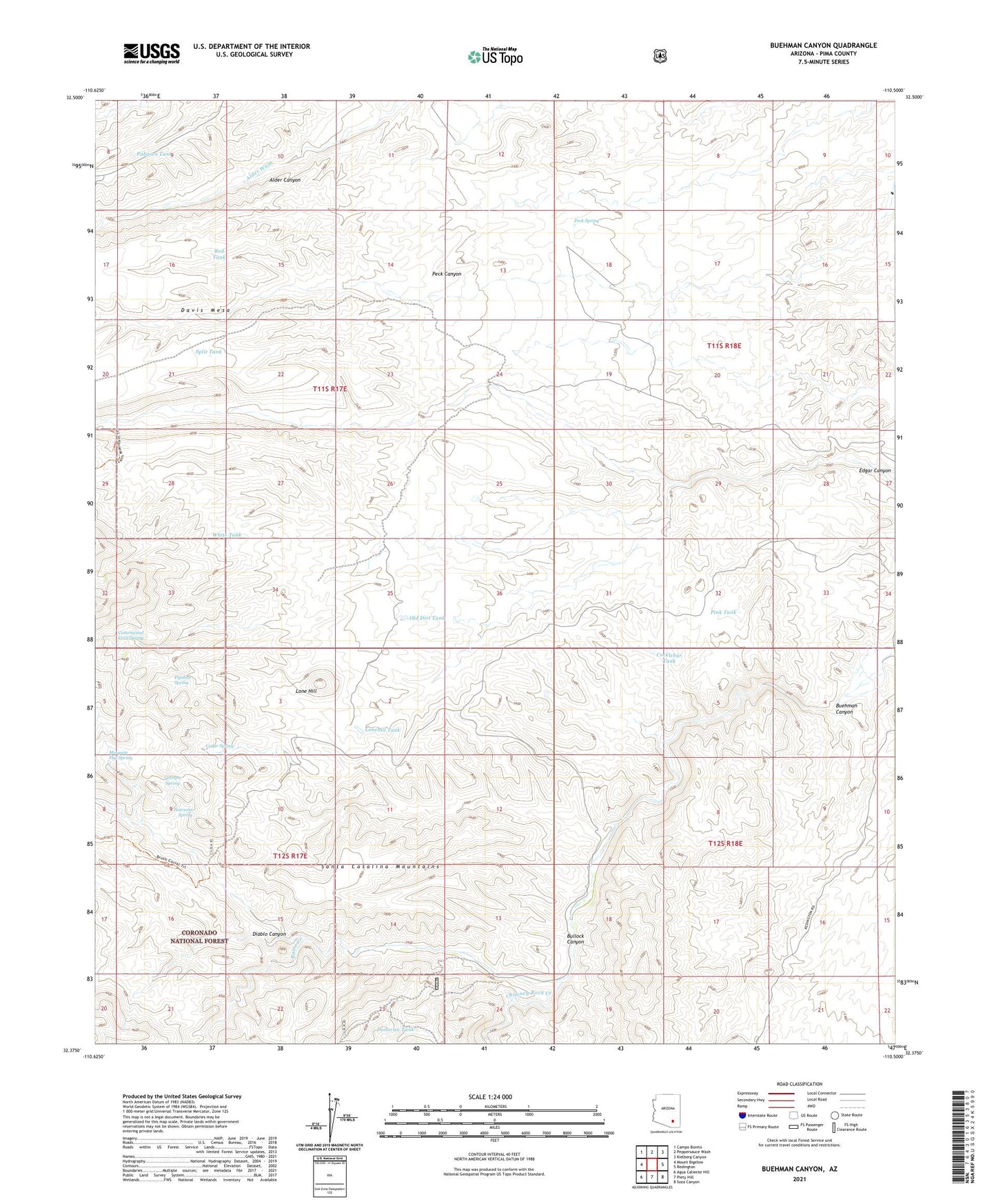
2021 topographic map quadrangle Buehman Canyon in the state of Arizona. Scale: 1:24000. Based on the newly updated USGS 7.5' US Topo map series, this map is in the following counties: Pima. The map contains contour data, water features, and other items you are used to seeing on USGS maps, but also has updated roads and other features. This is the next generation of topographic maps. Printed on high-quality waterproof paper with UV fade-resistant inks.
Quads adjacent to this one:
West: Mount Bigelow
Northwest: Campo Bonito
North: Peppersauce Wash
Northeast: Kielberg Canyon
East: Redington
Southeast: Soza Canyon
South: Piety Hill
Southwest: Agua Caliente Hill
This map covers the same area as the classic USGS quad with code o32110d5.
Contains the following named places: Brush Corrals, Buehman Canyon, Bullock Canyon, Burleson Well, Burro Creek, Cedar Spring, Cocklebur Tank, Cottonwood Cove Spring, Davis Spring Trail Twenty-eight, Deep Well, Diablo Canyon, Donovan Tank, Georges Spring, Limestone Well, Lone Hill, Lonehill Tank, Mesa Well, Mesquite Flat Spring, OF Parker Ranch, Old Dirt Tank, Pabasco Tank, Pearsons Spring, Peck Spring, Pink Tank, Pipeline Spring, Poppy Well, Red Tank, Rock Tank, Split Tank, White Tank