MyTopo
Little Tanks Arizona US Topo Map
Couldn't load pickup availability
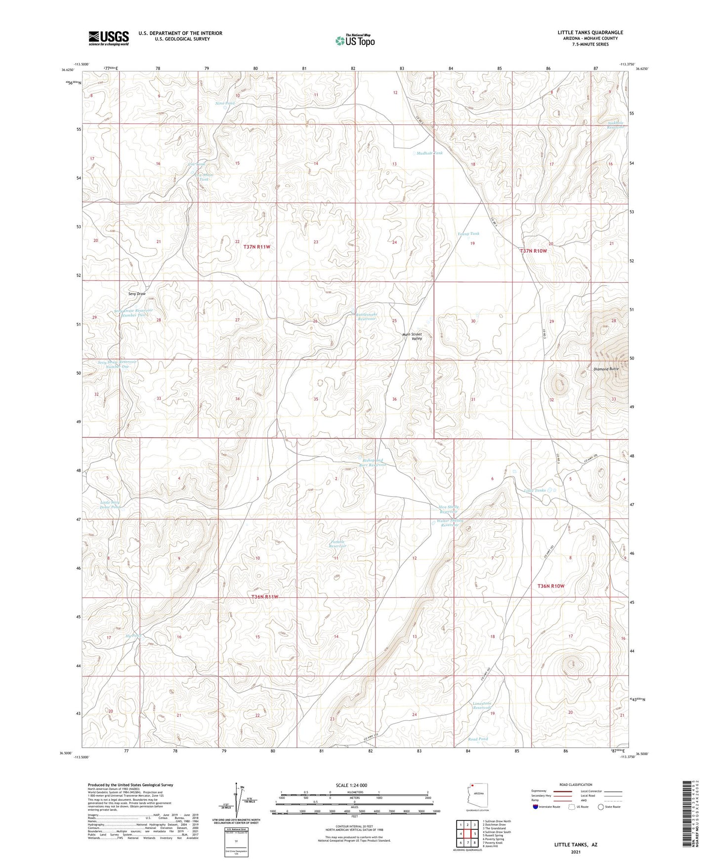
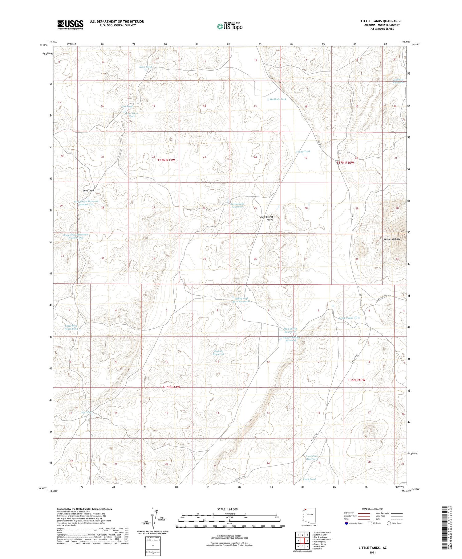
2021 topographic map quadrangle Little Tanks in the state of Arizona. Scale: 1:24000. Based on the newly updated USGS 7.5' US Topo map series, this map is in the following counties: Mohave. The map contains contour data, water features, and other items you are used to seeing on USGS maps, but also has updated roads and other features. This is the next generation of topographic maps. Printed on high-quality waterproof paper with UV fade-resistant inks.
Quads adjacent to this one:
West: Sullivan Draw South
Northwest: Sullivan Draw North
North: Dutchman Draw
Northeast: The Grandstand
East: Russell Spring
Southeast: Jones Hill
South: Poverty Knoll
Southwest: Poverty Spring
This map covers the same area as the classic USGS quad with code o36113e4.
Contains the following named places: Alva Shelly Reservoir, Bishop and Burr Reservoir, Cox Tank, Cox-Atkin Tank, Hy Pond, Limestone Reservoir, Little Sevy Draw Pond, Little Tanks, Mudhole Tank, Nina Pond, North Mohave Division, Pothole Reservoir, Rattlesnake Reservoir, Road Pond, Sevy Draw Reservoir Number One, Sevy Draw Reservoir Number Two, Sinkhole Reservoir, Upper Little Joe Pond, Walter Shelley Reservoir, Young Tank