MyTopo
Lost Spring Mountain West Arizona US Topo Map
Couldn't load pickup availability
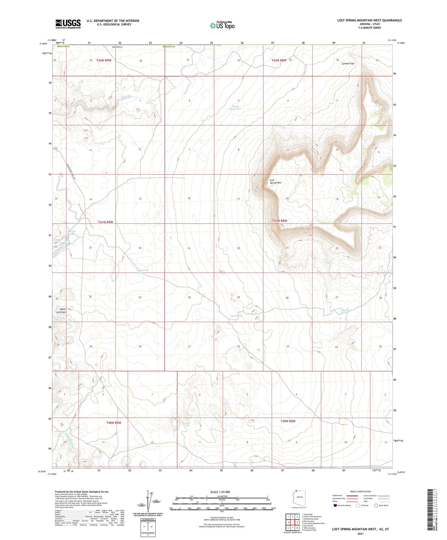
2021 topographic map quadrangle Lost Spring Mountain West in the state of Arizona. Scale: 1:24000. Based on the newly updated USGS 7.5' US Topo map series, this map is in the following counties: Mohave, Washington. The map contains contour data, water features, and other items you are used to seeing on USGS maps, but also has updated roads and other features. This is the next generation of topographic maps. Printed on high-quality waterproof paper with UV fade-resistant inks.
Quads adjacent to this one:
West: Rock Canyon
Northwest: The Divide
North: Little Creek Mountain
Northeast: Smithsonian Butte
East: Lost Spring Mountain East
Southeast: Formaster Well
South: White Pockets
Southwest: Gyp Pocket
Contains the following named places: Antelope Spring, Atkins Well, Canaan Gap, Cottonwood Spring, Lost Spring Mountain, Lytle Spring, Reeds Reservoir, Upper Antelope, Upper Lytle Spring