MyTopo
Smithsonian Butte Utah US Topo Map
Couldn't load pickup availability
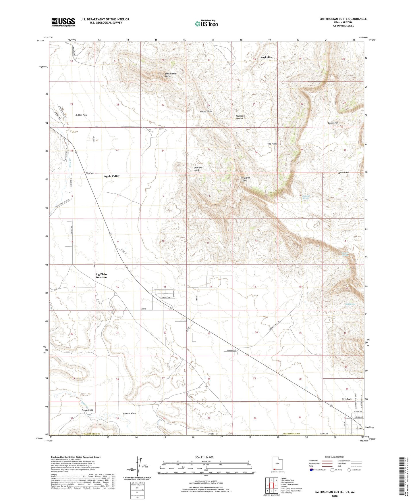
2023 topographic map quadrangle Smithsonian Butte in the state of Utah. Scale: 1:24000. Based on the newly updated USGS 7.5' US Topo map series, this map is in the following counties: Washington, Mohave. The map contains contour data, water features, and other items you are used to seeing on USGS maps, but also has updated roads and other features. This is the next generation of topographic maps. Printed on high-quality waterproof paper with UV fade-resistant inks.
Quads adjacent to this one:
West: Little Creek Mountain
Northwest: Virgin
North: Springdale West
Northeast: Springdale East
East: Hildale
Southeast: Colorado City
South: Lost Spring Mountain East
Southwest: Lost Spring Mountain West
This map covers the same area as the classic USGS quad with code o37113a1.
Contains the following named places: Apple Valley, Big Plain, Big Plain Junction, Canaan Gap, Canaan Mountain, Canaan Ranch, Canaan Springs, Canaan Wash, Dutton Pass, Little Creek, Lower Mountain, Moccasin Terrace, Overlook point, Sawmill Spring, Smithsonian Butte, Still Spring, The Pines, Town of Apple Valley