MyTopo
Lost Spring Mountain East Arizona US Topo Map
Couldn't load pickup availability
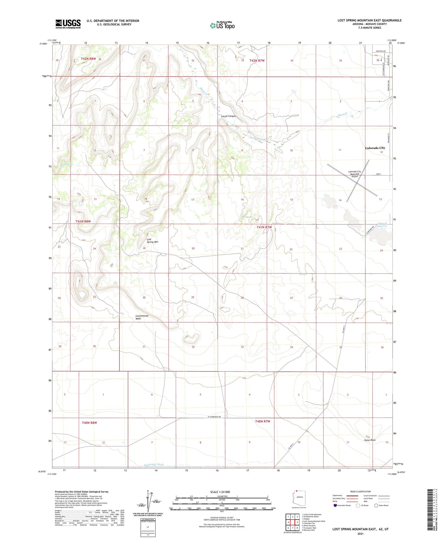
2021 topographic map quadrangle Lost Spring Mountain East in the state of Arizona. Scale: 1:24000. Based on the newly updated USGS 7.5' US Topo map series, this map is in the following counties: Mohave, Washington. The map contains contour data, water features, and other items you are used to seeing on USGS maps, but also has updated roads and other features. This is the next generation of topographic maps. Printed on high-quality waterproof paper with UV fade-resistant inks.
Quads adjacent to this one:
West: Lost Spring Mountain West
Northwest: Little Creek Mountain
North: Smithsonian Butte
Northeast: Hildale
East: Colorado City
Southeast: Maroney Well
South: Formaster Well
Southwest: White Pockets
Contains the following named places: Colorado City Municipal Airport, Corral Canyon, El Capitan K - 12 Public School, Lakes of Short Creek, Lost Spring, Point Rock, Road Pond, Wells Spring, ZIP Code: 86021