MyTopo
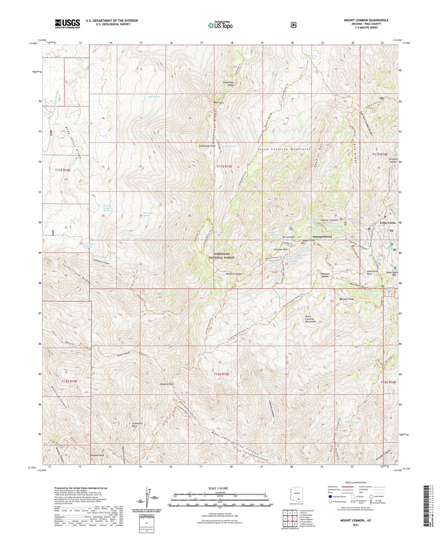
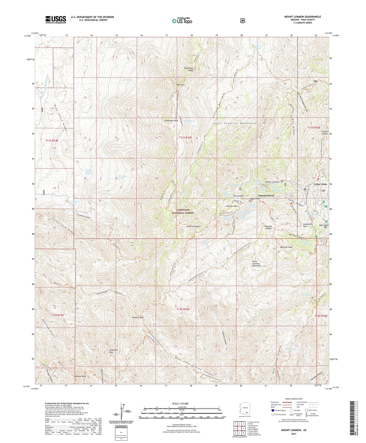
Mount Lemmon Arizona US Topo Map
Couldn't load pickup availability
Also explore the Mount Lemmon Forest Service Topo of this same quad for updated USFS data
2021 topographic map quadrangle Mount Lemmon in the state of Arizona. Scale: 1:24000. Based on the newly updated USGS 7.5' US Topo map series, this map is in the following counties: Pima. The map contains contour data, water features, and other items you are used to seeing on USGS maps, but also has updated roads and other features. This is the next generation of topographic maps. Printed on high-quality waterproof paper with UV fade-resistant inks.
Quads adjacent to this one:
West: Oro Valley
Northwest: Oracle Junction
North: Oracle
Northeast: Campo Bonito
East: Mount Bigelow
Southeast: Agua Caliente Hill
South: Sabino Canyon
Southwest: Tucson North
This map covers the same area as the classic USGS quad with code o32110d7.
Contains the following named places: Annabel Spring, Apache Spring, Baby Jesus Ridge, Bill Williams Spring, Box Spring, Brinkley Spring, Busch Spring, Canada del Oro Four, Cargodera Canyon Six Trail, Cargodera Spring, Carter Canyon, Cascade Spring, Catalina Camp, Cathedral Rock, Cement Dam Tank, Cold Spring, Cottonwood Tank, Dead Pine Spring, East Fork Canada del Oro, Flicker Spring, Hartman Homestake Mines, Huntsman Spring, Inspiration Rock, Inspiration Rock Picnic Area, Iron Spring, Kinglet Spring, Lemmon Canyon, Lemmon Creek, Lemmon Park, Lemmon Rock Lookout, Lemmon Spring, Loma Linda, Loma Linda Picnic Area, Marshall Gulch, Marshall Gulch Picnic Area, Marshall Peak, Marshall Saddle, Mount Lemmon, Mount Lemmon Air Force Station, Mount Lemmon Fire District, Mount Lemmon Post Office, Mount Lemmon Ski Valley, Mule Ears, Oracle Ridge, Pidgeon Spring, Pusch Ridge Wilderness, Quartzite Spring, Radio Ridge, Red Ridge, Reef of Rock, Romero Pass, Samaniego Peak, Samaniego Ridge, Samaniego Ridge Seven Trail, Samaniego Spring, Santa Catalina Mountains, Santa Catalina Natural Area, Shovel Spring, Stratton Saddle, Summerhaven, Summerhaven Census Designated Place, Summerhaven Post Office, Sutherland Ridge, Walnut Spring, West Fork Sabino Canyon, Wild Cow Spring, Wilderness of Rocks, Window Rock, Wooden Trough Spring, Zimmerman Elementary School


