MyTopo
Oracle Arizona US Topo Map
Couldn't load pickup availability
Also explore the Oracle Forest Service Topo of this same quad for updated USFS data
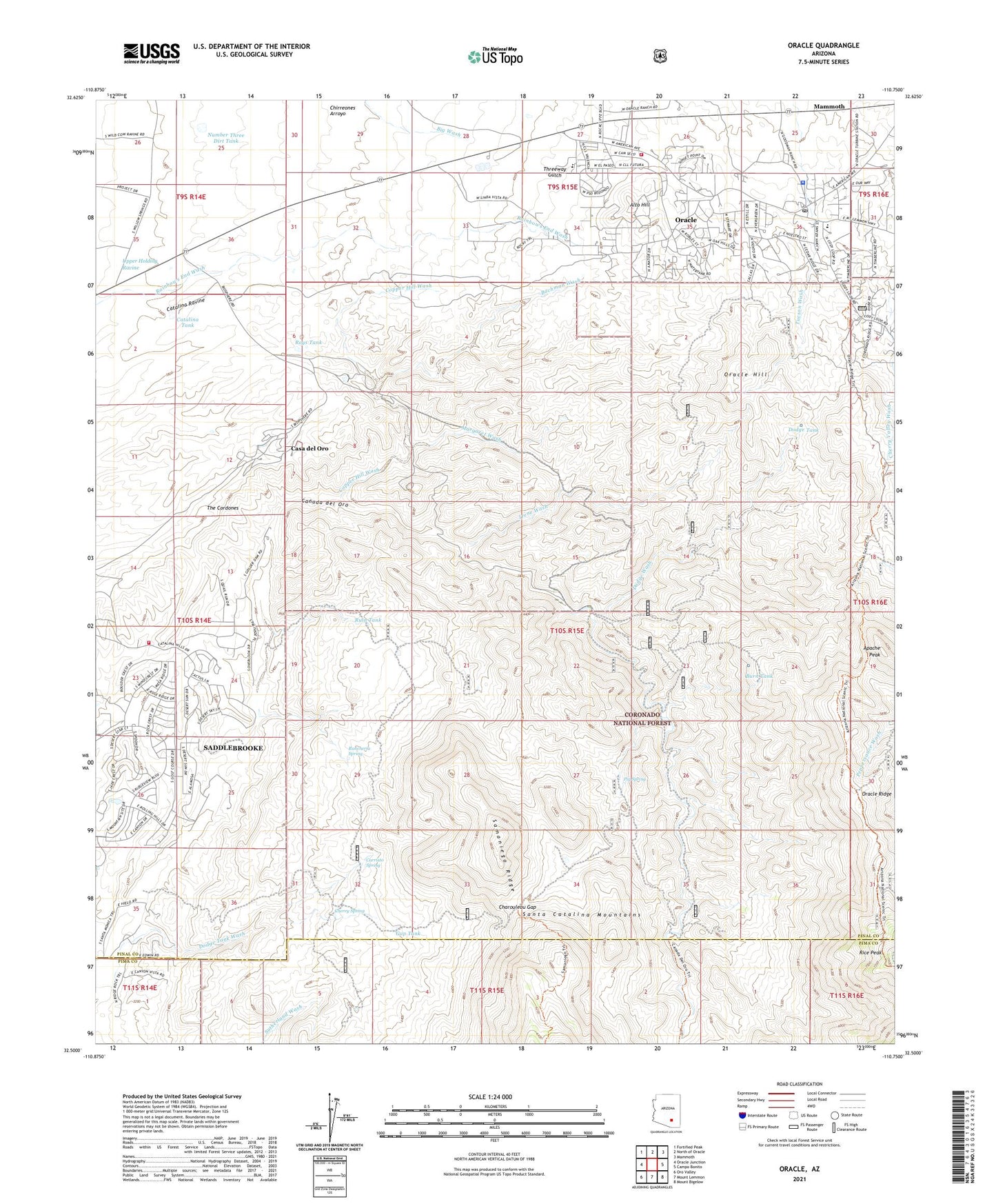
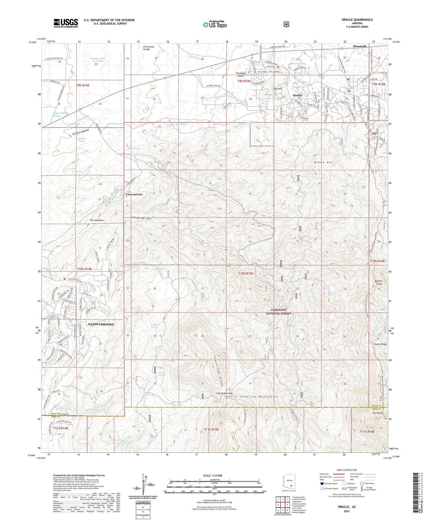
2021 topographic map quadrangle Oracle in the state of Arizona. Scale: 1:24000. Based on the newly updated USGS 7.5' US Topo map series, this map is in the following counties: Pinal, Pima. The map contains contour data, water features, and other items you are used to seeing on USGS maps, but also has updated roads and other features. This is the next generation of topographic maps. Printed on high-quality waterproof paper with UV fade-resistant inks.
Quads adjacent to this one:
West: Oracle Junction
Northwest: Fortified Peak
North: North of Oracle
Northeast: Mammoth
East: Campo Bonito
Southeast: Mount Bigelow
South: Mount Lemmon
Southwest: Oro Valley
This map covers the same area as the classic USGS quad with code o32110e7.
Contains the following named places: Alto Hill, Apache Peak, Bachman Wash, Biosphere Two Landing Field, Burn Tank, Burney Mines, Canada Del Oro Trailhead, Carristo Spring, Casa del Oro, Catalina Tank, Charouleau Gap, Cherry Spring, Copper Hill Wash, Coronado Camp, Dodge Tank, Dodge Tank Wash, Dodge Wash, Elise Well, First Baptist Church of Oracle, Gap Tank, Golder Dam, Golder Ranch Fire District Station 372, Irene Wash, Irene Well, KBTR-FM (Oracle), Kingdom Hall of Jehovahs Witnesses, Lago del Oro, Little Hill Mines Incorporated Airport, Living Word Chapel, Lower Oracle Ridge Trailhead, Margaret Wash, Mountain Vista School, Number Three Dirt Tank, Oracle, Oracle Assembly of God, Oracle Census Designated Place, Oracle Community Center, Oracle Fire District, Oracle Hill, Oracle Park, Oracle Post Office, Oracle Public Library, Oracle Ranger Station, Oracle Ridge School, Oracle Turbine Station, Oracle Union Church, Pig Spring, Pinal County Health Department Oracle Clinic, Pinal County Highway Maintenance Yard, Pinal County Sheriff's Office Region B, Rancheria Spring, Rancho Linda Vista, Rancho Solano, Roys Tank, Ruin Tank, Saddle Brooke, Saddlebrooke Census Designated Place, Saddlebrooke Golf Course, Saddlebrooke Wastewater Treatment Plant, Saint Helen's Catholic Church, Samaniego Trailhead, San Carlos Project Substation, Sierra Oaks School, The Preserve Golf Club at SaddleBrooke, Triangle L Ranch


