MyTopo
Mount Tipton NW Arizona US Topo Map
Couldn't load pickup availability
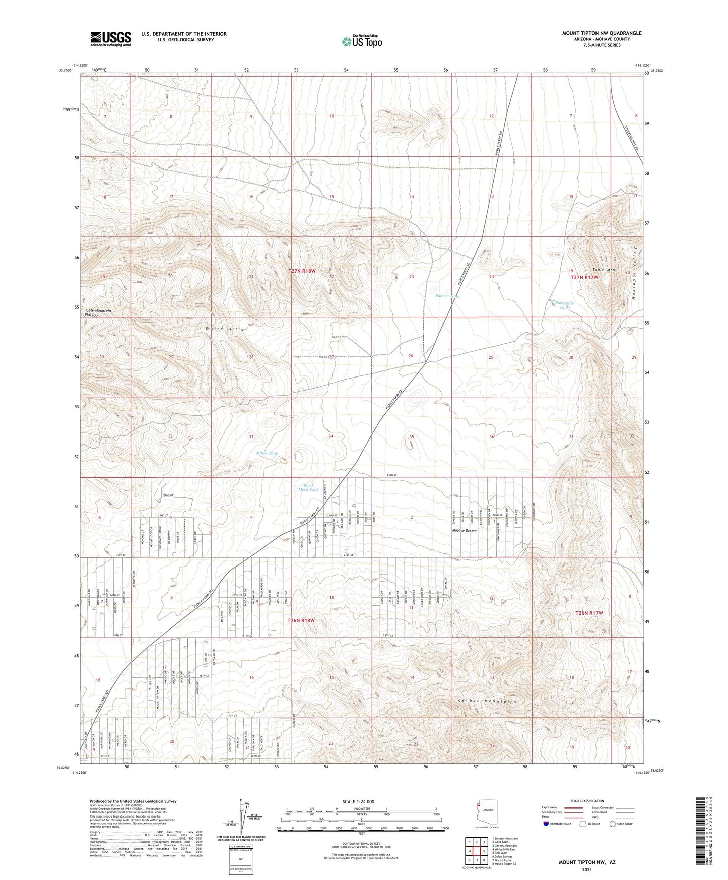
2023 topographic map quadrangle Mount Tipton NW in the state of Arizona. Scale: 1:24000. Based on the newly updated USGS 7.5' US Topo map series, this map is in the following counties: Mohave. The map contains contour data, water features, and other items you are used to seeing on USGS maps, but also has updated roads and other features. This is the next generation of topographic maps. Printed on high-quality waterproof paper with UV fade-resistant inks.
Quads adjacent to this one:
West: White Hills East
Northwest: Senator Mountain
North: Gold Basin
Northeast: Garnet Mountain
East: Red Lake
Southeast: Mount Tipton SE
South: Mount Tipton
Southwest: Dolan Springs
This map covers the same area as the classic USGS quad with code o35114f2.
Contains the following named places: Archibald Corral, Barksdale Tank, Black Mesa Tank, Filarea Tank, Miller Tank, Table Mountain