MyTopo
Oatman Arizona US Topo Map
Couldn't load pickup availability
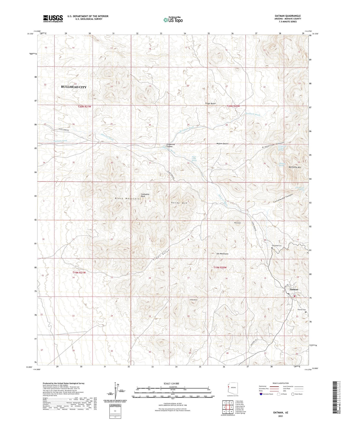
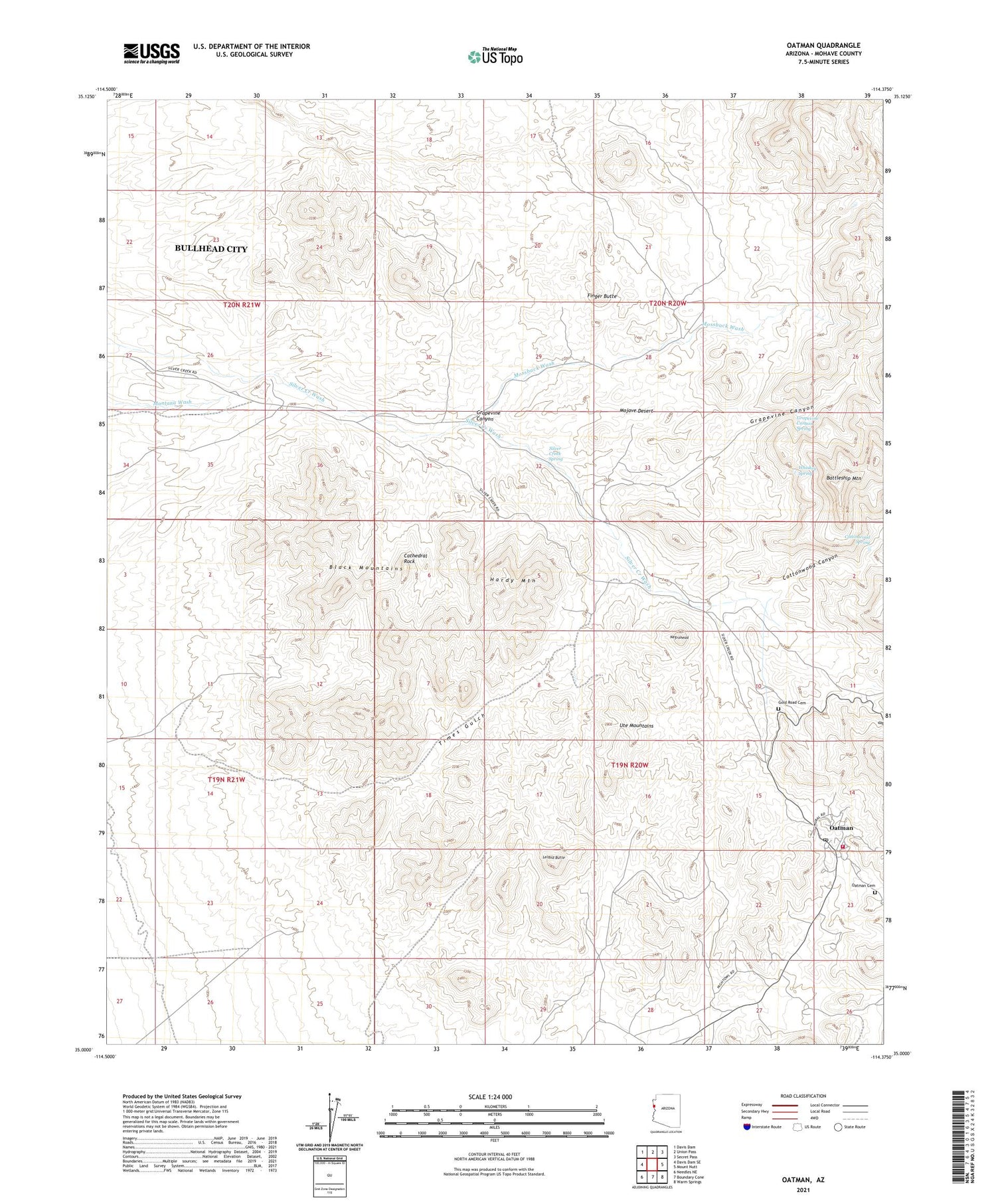
2021 topographic map quadrangle Oatman in the state of Arizona. Scale: 1:24000. Based on the newly updated USGS 7.5' US Topo map series, this map is in the following counties: Mohave. The map contains contour data, water features, and other items you are used to seeing on USGS maps, but also has updated roads and other features. This is the next generation of topographic maps. Printed on high-quality waterproof paper with UV fade-resistant inks.
Quads adjacent to this one:
West: Davis Dam SE
Northwest: Davis Dam
North: Union Pass
Northeast: Secret Pass
East: Mount Nutt
Southeast: Warm Springs
South: Boundary Cone
Southwest: Needles NE
This map covers the same area as the classic USGS quad with code o35114a4.
Contains the following named places: Battleship Mountain, Cathedral Rock, Cottonwood Canyon, Cottonwood Spring, Finger Butte, Gold Dust Mine, Gold Road Cemetery, Goldroad, Goldroad Mine, Grapevine Canyon, Grapevine Canyon Spring, Hardy Mountain, Leland Butte, Midnight Mine, Moss Mine, Mossback Mine, Mossback Wash, Negrohead, Oatman, Oatman Cemetery, Oatman Census Designated Place, Oatman Fire Department, Oatman Post Office, Old Trails, Pioneer Mine, Silver Creek Spring, Times Gulch, Tom Reed Mine, United Eastern Mine, United Western Mine, Whiskey Spring, White Chief Mine