MyTopo
Padilla Tank Arizona US Topo Map
Couldn't load pickup availability
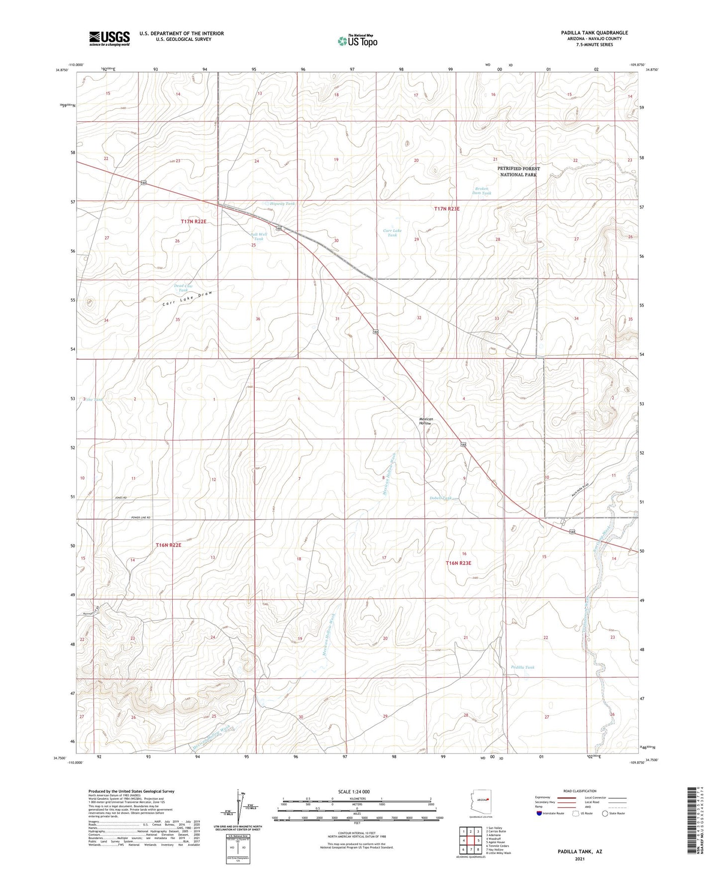
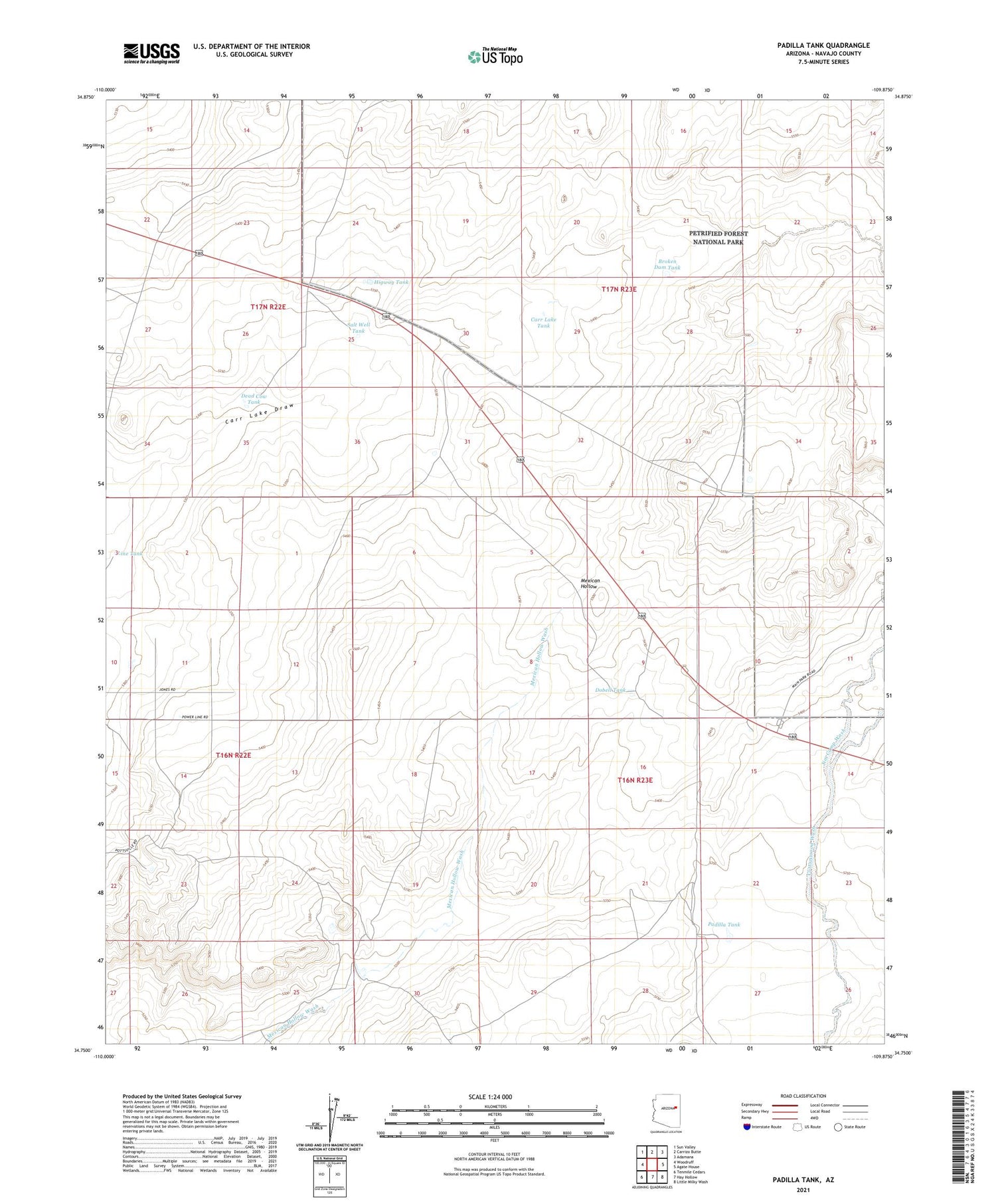
2021 topographic map quadrangle Padilla Tank in the state of Arizona. Scale: 1:24000. Based on the newly updated USGS 7.5' US Topo map series, this map is in the following counties: Navajo. The map contains contour data, water features, and other items you are used to seeing on USGS maps, but also has updated roads and other features. This is the next generation of topographic maps. Printed on high-quality waterproof paper with UV fade-resistant inks.
Quads adjacent to this one:
West: Woodruff
Northwest: Sun Valley
North: Carrizo Butte
Northeast: Adamana
East: Agate House
Southeast: Little Milky Wash
South: Hay Hollow
Southwest: Tenmile Cedars
This map covers the same area as the classic USGS quad with code o34109g8.
Contains the following named places: Broken Dam Tank, Carr Lake, Carr Lake Tank, Dead Cow Tank, Dobell Tank, Higway Tank, Jim Camp Wash, Line Tank, Ortega Tank, Padilla Tank, Rainbow Forest, Salt Well, Salt Well Tank