MyTopo
Picacho Pass Arizona US Topo Map
Couldn't load pickup availability
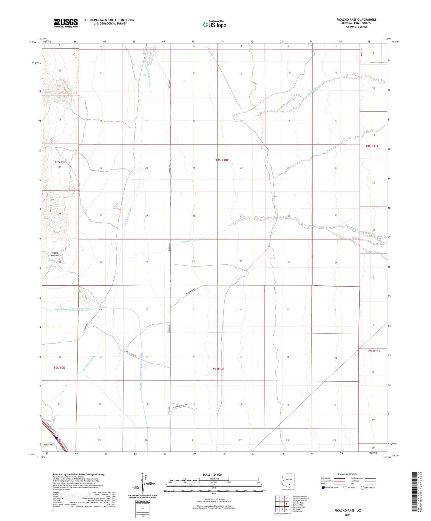
2021 topographic map quadrangle Picacho Pass in the state of Arizona. Scale: 1:24000. Based on the newly updated USGS 7.5' US Topo map series, this map is in the following counties: Pinal. The map contains contour data, water features, and other items you are used to seeing on USGS maps, but also has updated roads and other features. This is the next generation of topographic maps. Printed on high-quality waterproof paper with UV fade-resistant inks.
Quads adjacent to this one:
West: Newman Peak
Northwest: Picacho Reservoir
North: Picacho Reservoir SE
Northeast: Ninetysix Hills SW
East: Durham Hills
Southeast: Desert Peak
South: Red Rock
Southwest: Samaniego Hills
This map covers the same area as the classic USGS quad with code o32111f3.
Contains the following named places: Barnett Well, Bogard Wash, Bud Antle Ranch Airstrip, Coronado Wash, Durham Wash, Gold Bell Mine, Picacho Pass