MyTopo
Red Rock Arizona US Topo Map
Couldn't load pickup availability
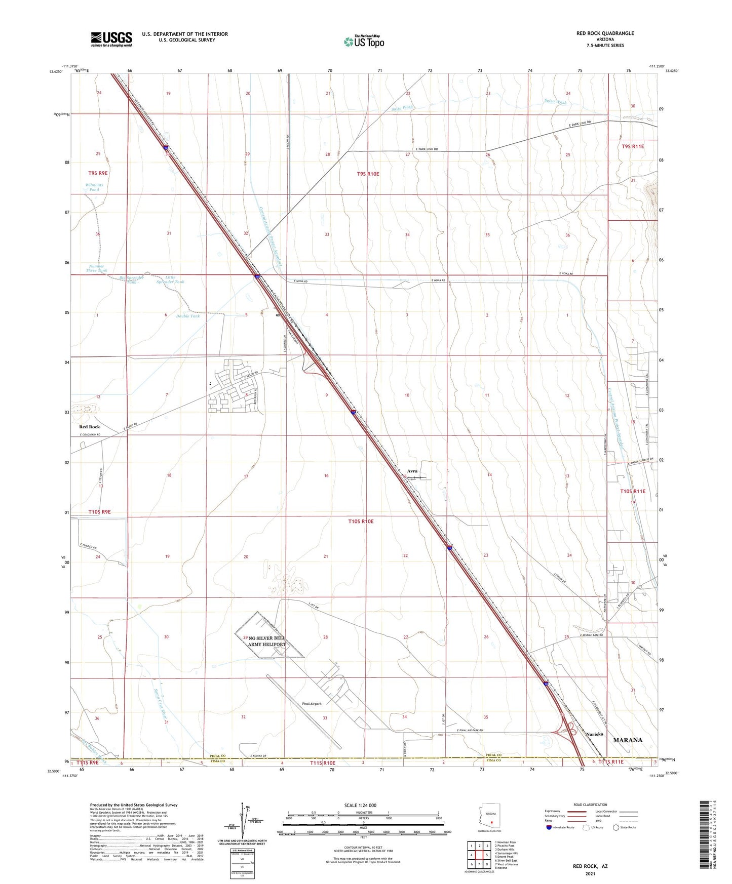
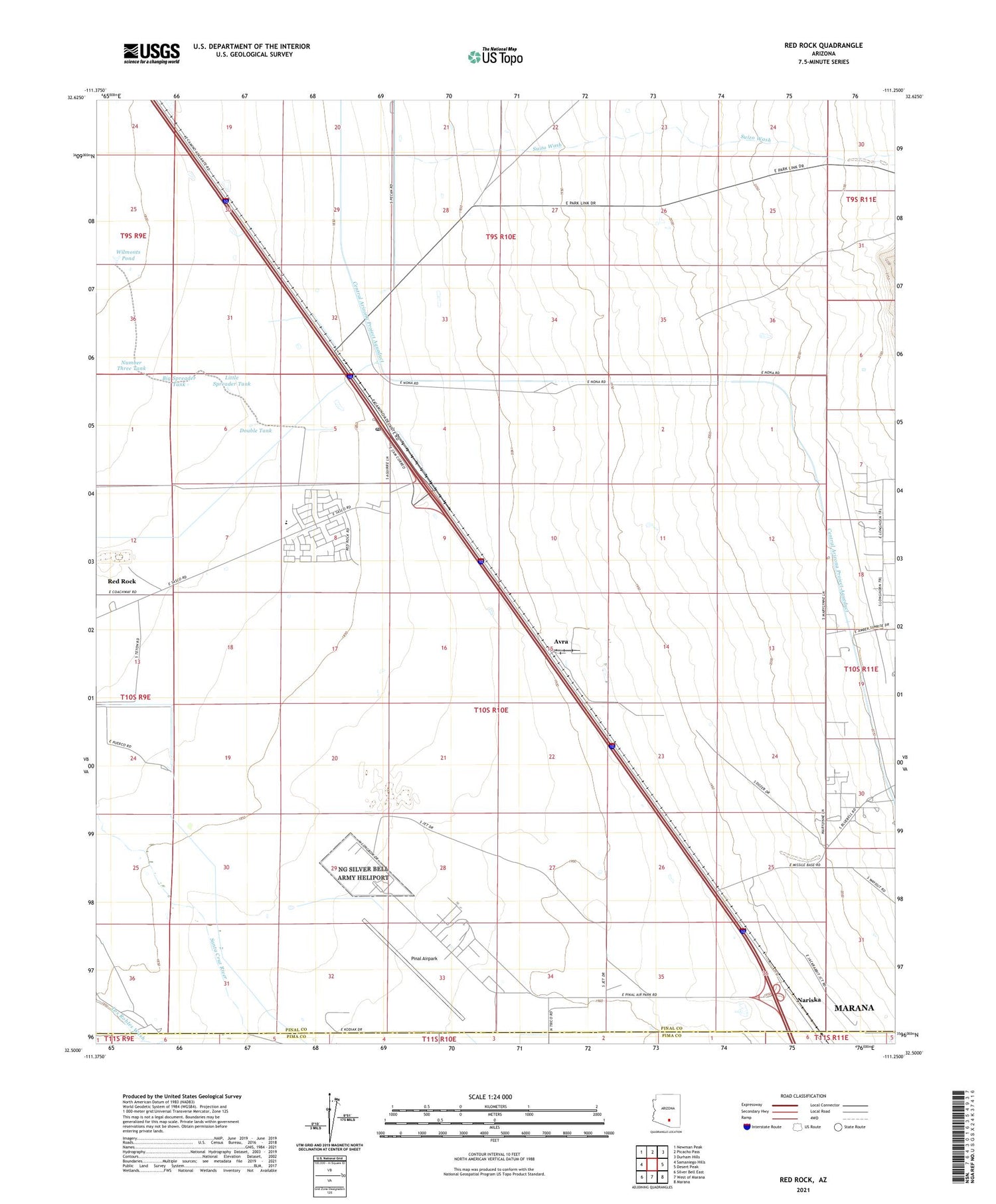
2021 topographic map quadrangle Red Rock in the state of Arizona. Scale: 1:24000. Based on the newly updated USGS 7.5' US Topo map series, this map is in the following counties: Pinal, Pima. The map contains contour data, water features, and other items you are used to seeing on USGS maps, but also has updated roads and other features. This is the next generation of topographic maps. Printed on high-quality waterproof paper with UV fade-resistant inks.
Quads adjacent to this one:
West: Samaniego Hills
Northwest: Newman Peak
North: Picacho Pass
Northeast: Durham Hills
East: Desert Peak
Southeast: Marana
South: West of Marana
Southwest: Silver Bell East
This map covers the same area as the classic USGS quad with code o32111e3.
Contains the following named places: Avra, Big Spreader Tank, Double Tank, Little Spreader Tank, Marana Army Air Field, Meeks Ranch, Nariska, Number Three Tank, Parker Wash, Pinal Airpark, Red Rock, Red Rock Census Designated Place, Red Rock Elementary School, Red Rock Post Office, Red Rock Railroad Station, Saguaro Power Plant, Suizo Wash, Wilmonts Pond, ZIP Code: 85145