MyTopo
Desert Peak Arizona US Topo Map
Couldn't load pickup availability
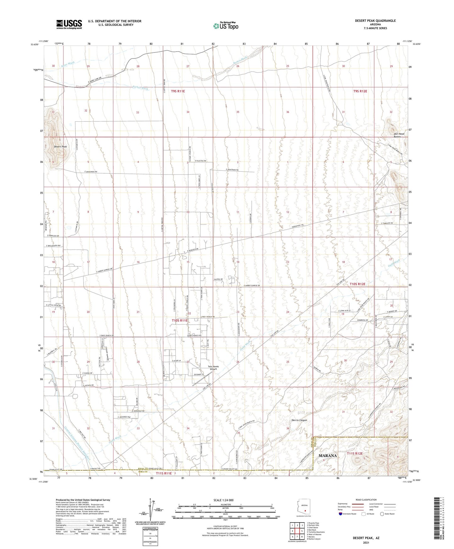
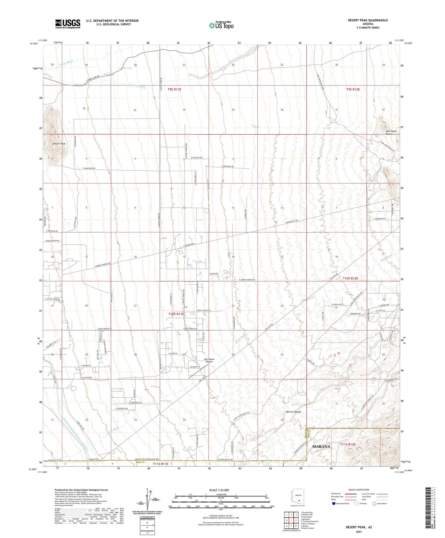
2021 topographic map quadrangle Desert Peak in the state of Arizona. Scale: 1:24000. Based on the newly updated USGS 7.5' US Topo map series, this map is in the following counties: Pinal, Pima. The map contains contour data, water features, and other items you are used to seeing on USGS maps, but also has updated roads and other features. This is the next generation of topographic maps. Printed on high-quality waterproof paper with UV fade-resistant inks.
Quads adjacent to this one:
West: Red Rock
Northwest: Picacho Pass
North: Durham Hills
Northeast: Chief Butte
East: Tortolita Mountains
Southeast: Ruelas Canyon
South: Marana
Southwest: West of Marana
This map covers the same area as the classic USGS quad with code o32111e2.
Contains the following named places: Davis Ranch, Derrio Canyon, Desert Peak, Eberhardt Ranch, Goodman Ranch, Guild Wash, Twin Hawks Airpark, ZIP Code: 85658