MyTopo
Picketpost Mountain Arizona US Topo Map
Couldn't load pickup availability
Also explore the Picketpost Mountain Forest Service Topo of this same quad for updated USFS data
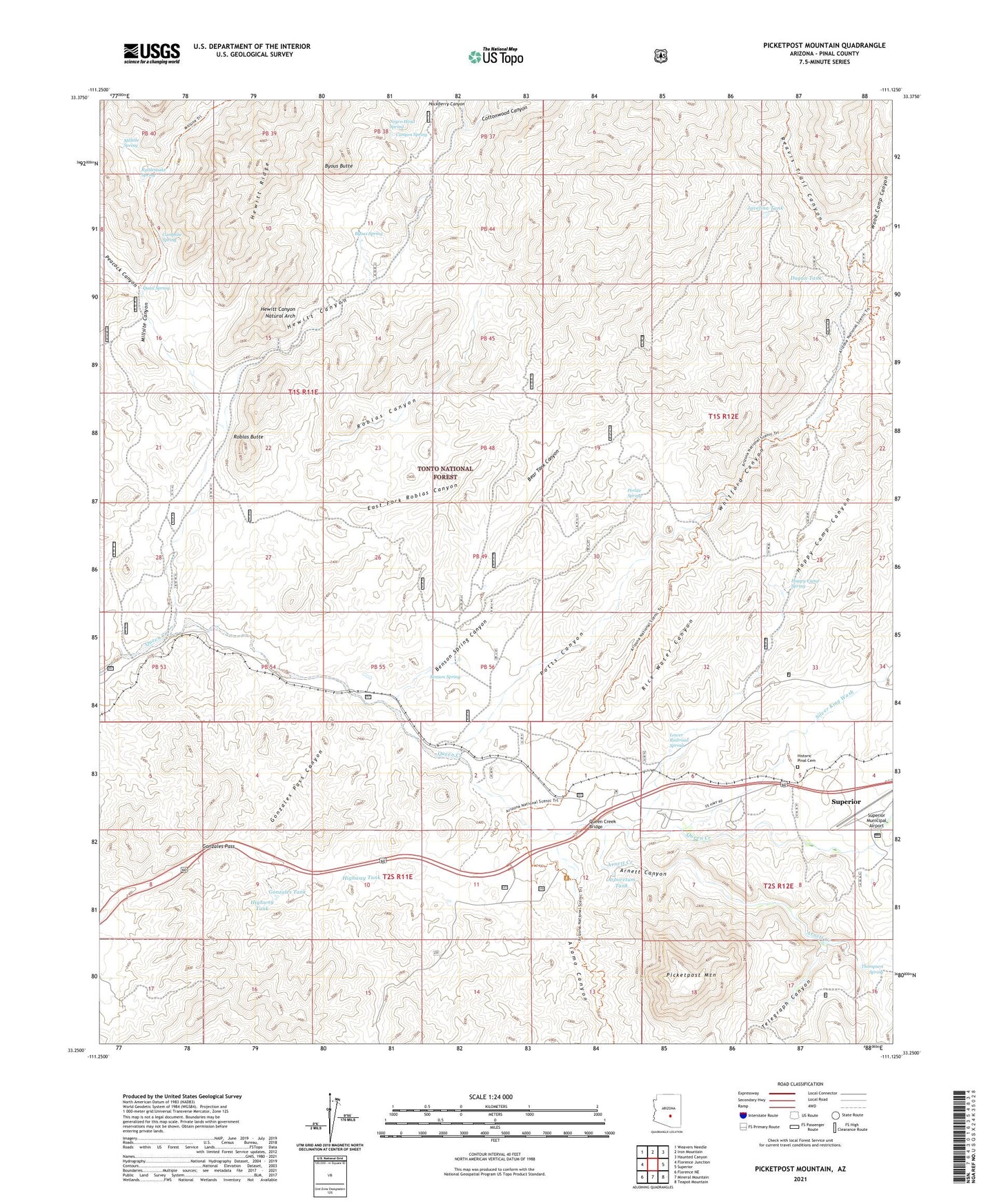
2021 topographic map quadrangle Picketpost Mountain in the state of Arizona. Scale: 1:24000. Based on the newly updated USGS 7.5' US Topo map series, this map is in the following counties: Pinal. The map contains contour data, water features, and other items you are used to seeing on USGS maps, but also has updated roads and other features. This is the next generation of topographic maps. Printed on high-quality waterproof paper with UV fade-resistant inks.
Quads adjacent to this one:
West: Florence Junction
Northwest: Weavers Needle
North: Iron Mountain
Northeast: Haunted Canyon
East: Superior
Southeast: Teapot Mountain
South: Mineral Mountain
Southwest: Florence NE
This map covers the same area as the classic USGS quad with code o33111c2.
Contains the following named places: Alamo Canyon, Arboretum Tank, Arnett Canyon, Arnett Creek, Barnett Camp, Bear Tank Canyon, Benson Spring, Benson Spring Canyon, Bomboy Mine, Boyce Thompson Arboretum, Byous Butte, Byous Spring, Byous Windmill, Campsite Spring, Canyon Spring, Cottonwood Canyon, Dugan Tank, East Fork Roblas Canyon, Gonzales Pass, Gonzales Pass Canyon, Gonzales Tank, Happy Camp, Happy Camp Canyon, Happy Camp Spring, Hewitt Canyon, Hewitt Canyon Natural Arch, Hewitt Station, Highway Tank, Javelina Tank, Lower Railroad Spring, Midway Tank, Millsite Canyon, Millsite Headquarters, Millsite Spring, Negro Head Spring, Nobel Well, Old Pinal Townsite, Peacock Canyon, Perlite Mine, Perlite Spring, Picketpost Inn, Picketpost Mountain, Picketpost Mountain Research Natural Area, Potts Canyon, Preston Well, Quail Spring, Queen Creek Bridge, Queens Station, Rattlesnake Spring, Reavis Trail Canyon, Rebel Tank, Reymert Wash, Reymert Well, Rice Water Canyon, Roblas Butte, Roblas Canyon, Roblas Well, Roblas Windmill, Silver King Wash, Superior Dump, Superior Municipal Airport, Telegraph Canyon, Thompson Arboretum, Thompson Spring, Vallies Well, Whitford Canyon, Wood Camp Canyon


