MyTopo
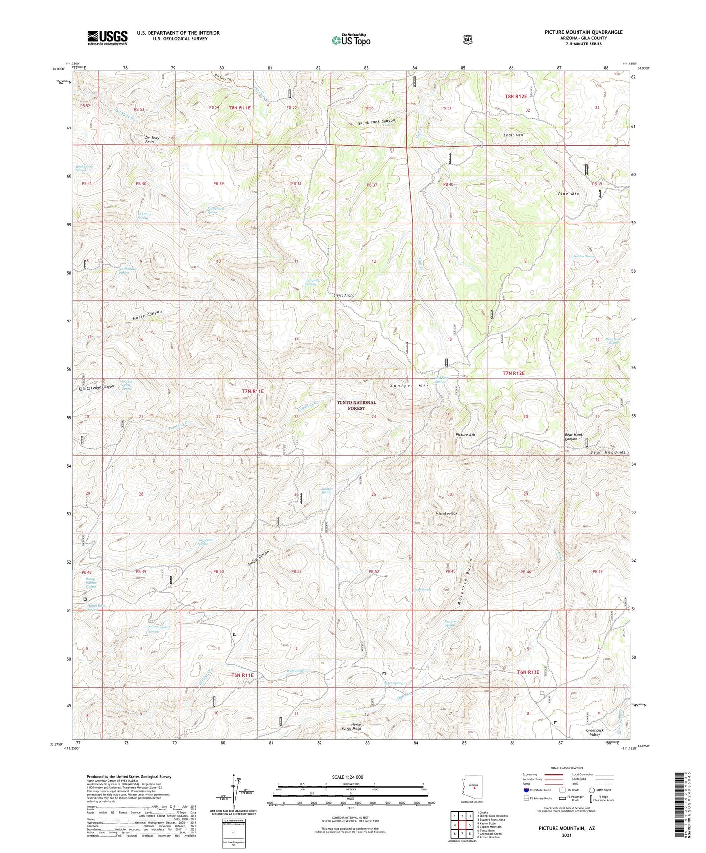
Picture Mountain Arizona US Topo Map
Couldn't load pickup availability
Also explore the Picture Mountain Forest Service Topo of this same quad for updated USFS data
2021 topographic map quadrangle Picture Mountain in the state of Arizona. Scale: 1:24000. Based on the newly updated USGS 7.5' US Topo map series, this map is in the following counties: Gila. The map contains contour data, water features, and other items you are used to seeing on USGS maps, but also has updated roads and other features. This is the next generation of topographic maps. Printed on high-quality waterproof paper with UV fade-resistant inks.
Quads adjacent to this one:
West: Kayler Butte
Northwest: Gisela
North: Sheep Basin Mountain
Northeast: Buzzard Roost Mesa
East: Copper Mountain
Southeast: Armer Mountain
South: Greenback Creek
Southwest: Tonto Basin
This map covers the same area as the classic USGS quad with code o33111h2.
Contains the following named places: Bear Head Mountain, Bear Head Spring, Cane Spring, Chalk Mountain, Del Shay Basin, Del Shay Cabin, Del Shay Spring, Grapevine Spring, Hidden Spring, Horse Range Mesa, Horse Tank, Hummingbird Spring, Hymn Book Spring, Jump-Off Spring, Juniper Mountain, Juniper Spring, Maverick Basin, Mistake Peak, Oak Creek Ranch, Oaker Spring, Pasture Spring, Picture Mountain, Pine Mountain, Quartz Ledge Spring, Rattlesnake Spring, Red Rock Spring, Rock Horse Spring, Rock House Spring, Rocky Dublin Spring, Sierra Ancha, Skunk Tank Canyon, Walnut Spring