MyTopo
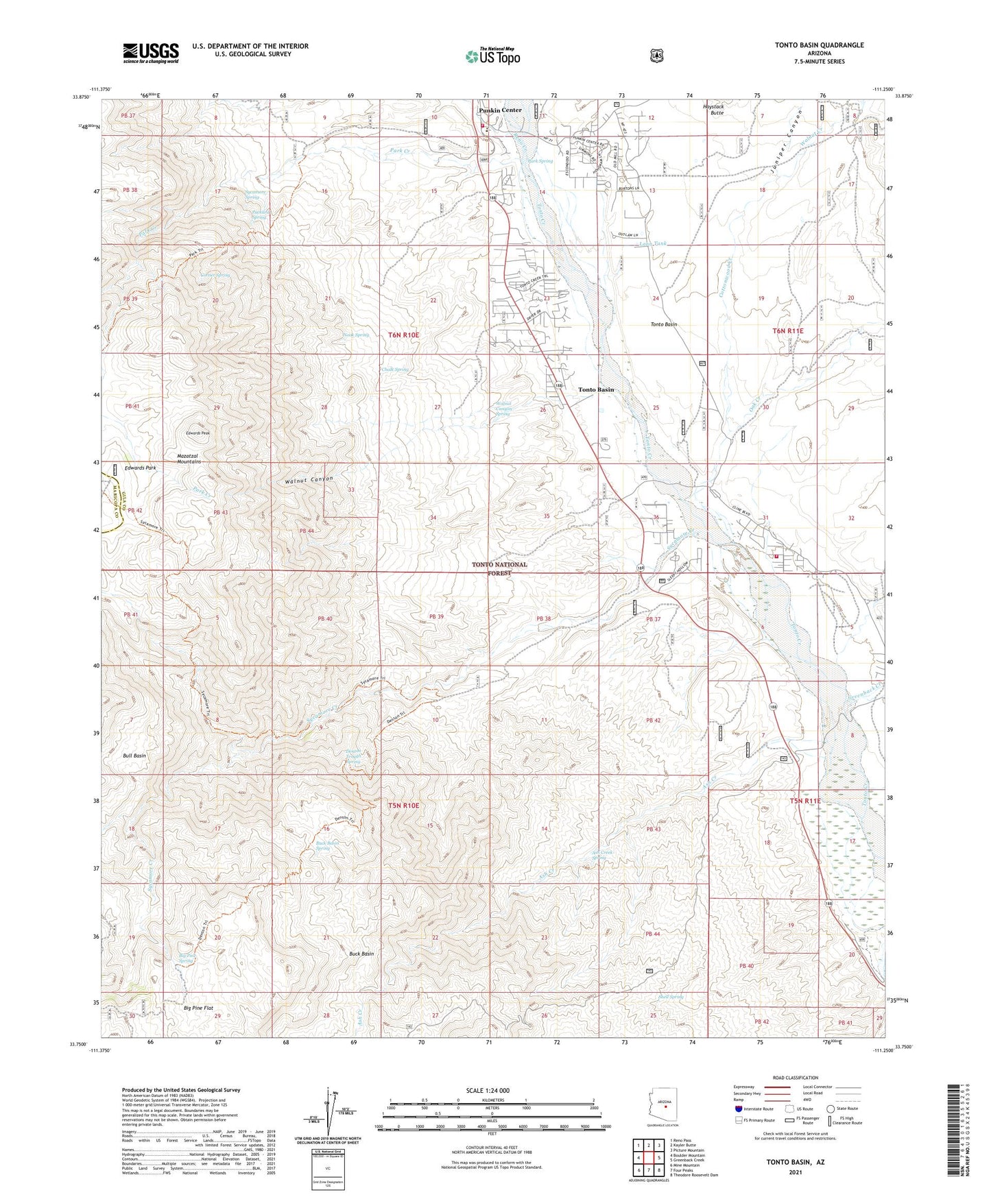
Tonto Basin Arizona US Topo Map
Couldn't load pickup availability
Also explore the Tonto Basin Forest Service Topo of this same quad for updated USFS data
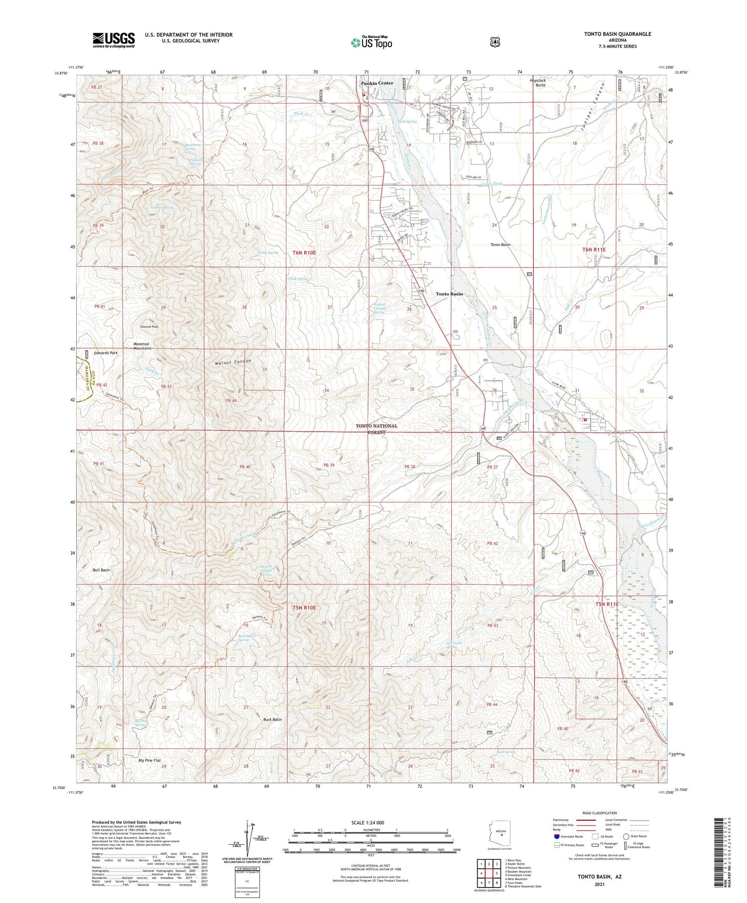
2021 topographic map quadrangle Tonto Basin in the state of Arizona. Scale: 1:24000. Based on the newly updated USGS 7.5' US Topo map series, this map is in the following counties: Gila, Maricopa. The map contains contour data, water features, and other items you are used to seeing on USGS maps, but also has updated roads and other features. This is the next generation of topographic maps. Printed on high-quality waterproof paper with UV fade-resistant inks.
Quads adjacent to this one:
West: Boulder Mountain
Northwest: Reno Pass
North: Kayler Butte
Northeast: Picture Mountain
East: Greenback Creek
Southeast: Theodore Roosevelt Dam
South: Four Peaks
Southwest: Mine Mountain
This map covers the same area as the classic USGS quad with code o33111g3.
Contains the following named places: Ash Creek, Ash Creek Spring, Big Pine Flat, Big Pine Spring, Buck Basin, Buck Basin Spring, Bull Basin, Chalk Spring, Corner Spring, Cottonwood Creek, Denton Trail, Denton Trough Spring, Edwards Park, Edwards Peak, El Oso Mine, Greenback Creek, Juniper Canyon, Lambing Creek, Lann Tank, Nook Spring, North Bay Estates, Oak Creek, Orange Peel Recreation Site, Packard Spring, Park Creek, Park Spring, Punkin Center, Punkin Center Landing Strip, Punkin Center Post Office, Rancho Del Escondido, Reno Creek, Riverside Acres, Roosevelt Lake Gardens East, Roosevelt Lake Gardens West, Shell Spring, Sycamore Creek, Sycamore Spring, Tonto Basin, Tonto Basin Census Designated Place, Tonto Basin Elementary School, Tonto Basin Fire District Station 2, Tonto Basin Ranger Station, Tonto National Forest, Walnut Canyon, Walnut Canyon Spring, Walnut Creek


