MyTopo
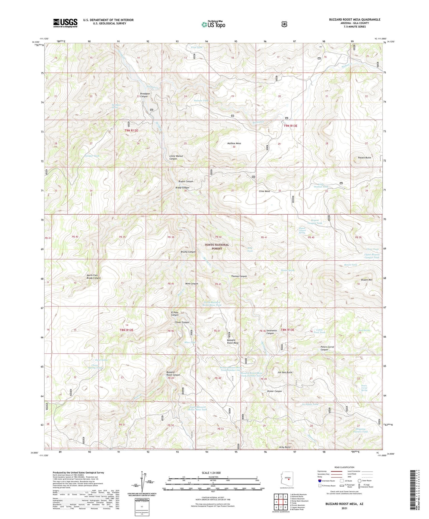
Buzzard Roost Mesa Arizona US Topo Map
Couldn't load pickup availability
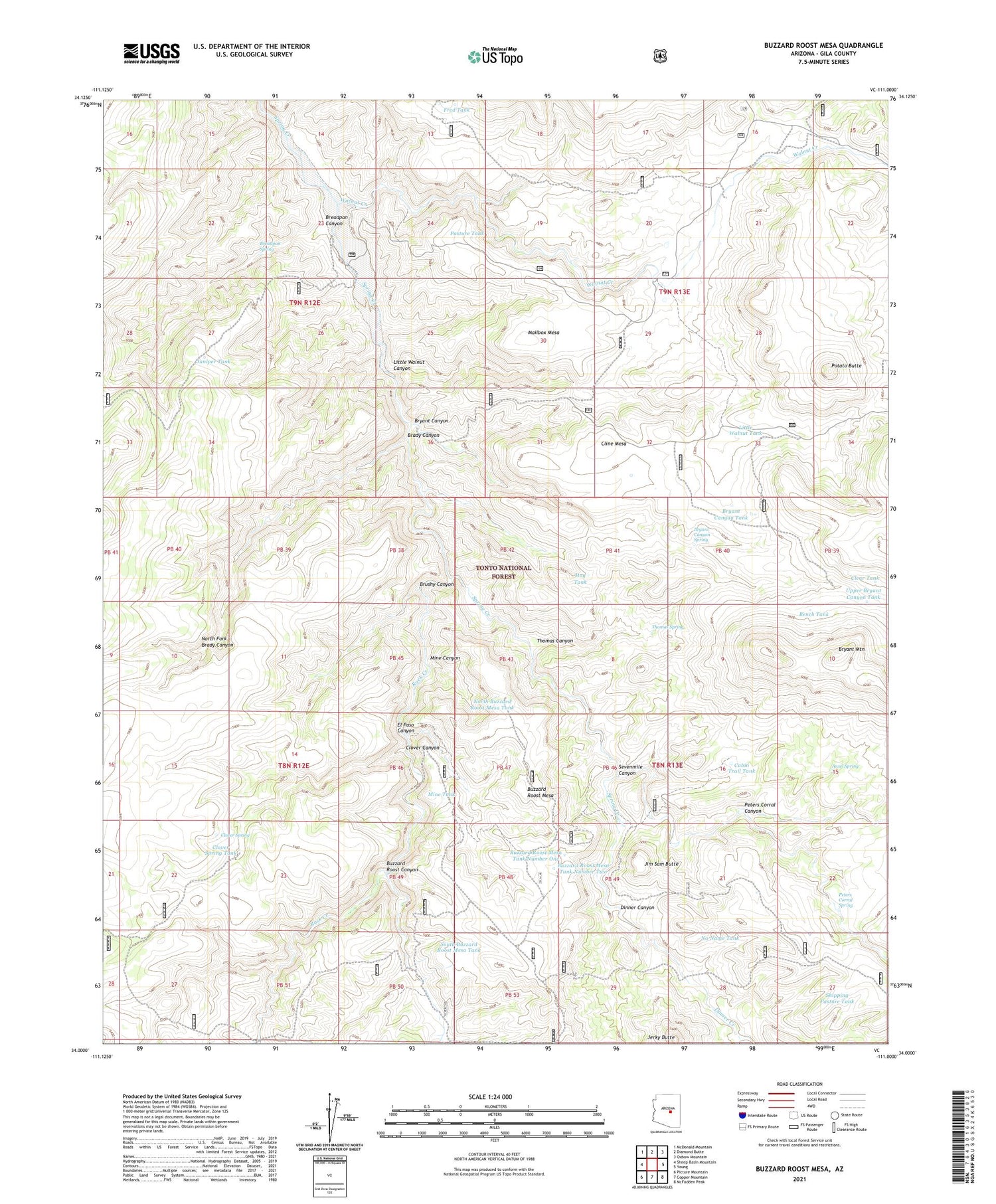
Also explore the Buzzard Roost Mesa Forest Service Topo of this same quad for updated USFS data
2021 topographic map quadrangle Buzzard Roost Mesa in the state of Arizona. Scale: 1:24000. Based on the newly updated USGS 7.5' US Topo map series, this map is in the following counties: Gila. The map contains contour data, water features, and other items you are used to seeing on USGS maps, but also has updated roads and other features. This is the next generation of topographic maps. Printed on high-quality waterproof paper with UV fade-resistant inks.
Quads adjacent to this one:
West: Sheep Basin Mountain
Northwest: McDonald Mountain
North: Diamond Butte
Northeast: Oxbow Mountain
East: Young
Southeast: McFadden Peak
South: Copper Mountain
Southwest: Picture Mountain
This map covers the same area as the classic USGS quad with code o34111a1.
Contains the following named places: Ansel Spring, Bench Tank, Brady Canyon, Breadpan Canyon, Breadpan Spring, Brushy Canyon, Bryant Canyon, Bryant Canyon Spring, Bryant Canyon Tank, Bryant Mountain, Buzzard Roost Camp, Buzzard Roost Canyon, Buzzard Roost Mesa, Buzzard Roost Mesa Tank Number One, Buzzard Roost Mesa Tank Number Two, Cabin Trail Tank, Clear Tank, Cline Mesa, Clover Canyon, Clover Spring, Clover Spring Tank, Dinner Canyon, Dinner Creek, El Paso Canyon, Flying W Ranch, Fred Tank, Haught Ranch, Houdon Cabin, Jerky Butte, Jim Sam Butte, Jim Sam Tank, Juniper Tank, Little Walnut Canyon, Little Walnut Tank, Mailbox Mesa, Mine Canyon, Mine Tank, No Name Tank, North Buzzard Roost Mesa Tank, North Fork Brady Canyon, Pasture Tank, Peters Corral, Peters Corral Canyon, Peters Corral Spring, Potato Butte, Rock Creek, Sevenmile Canyon, Shipping Pasture Tank, South Buzzard Roost Mesa Tank, Spring Creek Mine, Spring Creek Ranch, Thomas Canyon, Thomas Spring, Upper Bryant Canyon Tank, Walnut Creek, Walnut Well