MyTopo
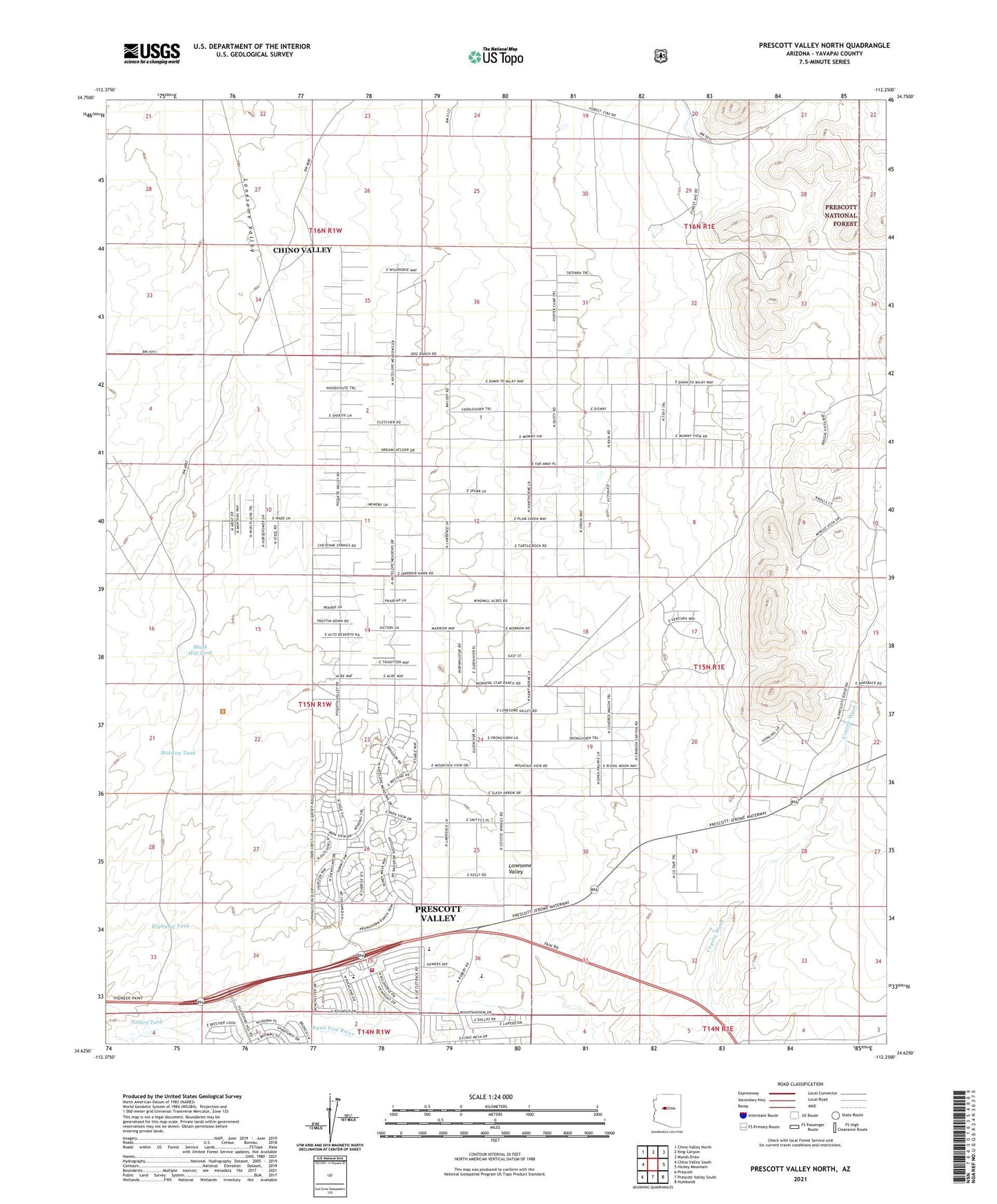
Prescott Valley North Arizona US Topo Map
Couldn't load pickup availability
Also explore the Prescott Valley North Forest Service Topo of this same quad for updated USFS data
2021 topographic map quadrangle Prescott Valley North in the state of Arizona. Scale: 1:24000. Based on the newly updated USGS 7.5' US Topo map series, this map is in the following counties: Yavapai. The map contains contour data, water features, and other items you are used to seeing on USGS maps, but also has updated roads and other features. This is the next generation of topographic maps. Printed on high-quality waterproof paper with UV fade-resistant inks.
Quads adjacent to this one:
West: Chino Valley South
Northwest: Chino Valley North
North: King Canyon
Northeast: Munds Draw
East: Hickey Mountain
Southeast: Humboldt
South: Prescott Valley South
Southwest: Prescott
This map covers the same area as the classic USGS quad with code o34112f3.
Contains the following named places: Black Hill Tank, Central Yavapai Fire District Station 59, Coyote Springs Elementary School, Highway Tank, KLKY-AM (Prescott), Landmark Baptist Church, Living Faith Church, Midway Tank, Nelson Tank, Old Hopkins Mine, Versatile Heliport, ZIP Codes: 86314, 86315