MyTopo
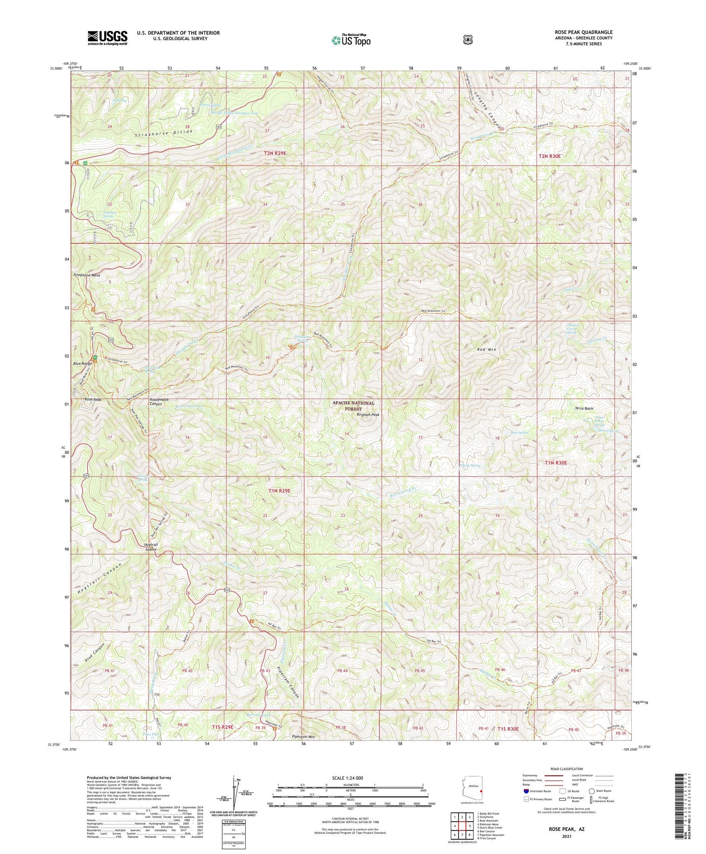
Rose Peak Arizona US Topo Map
Couldn't load pickup availability
Also explore the Rose Peak Forest Service Topo of this same quad for updated USFS data
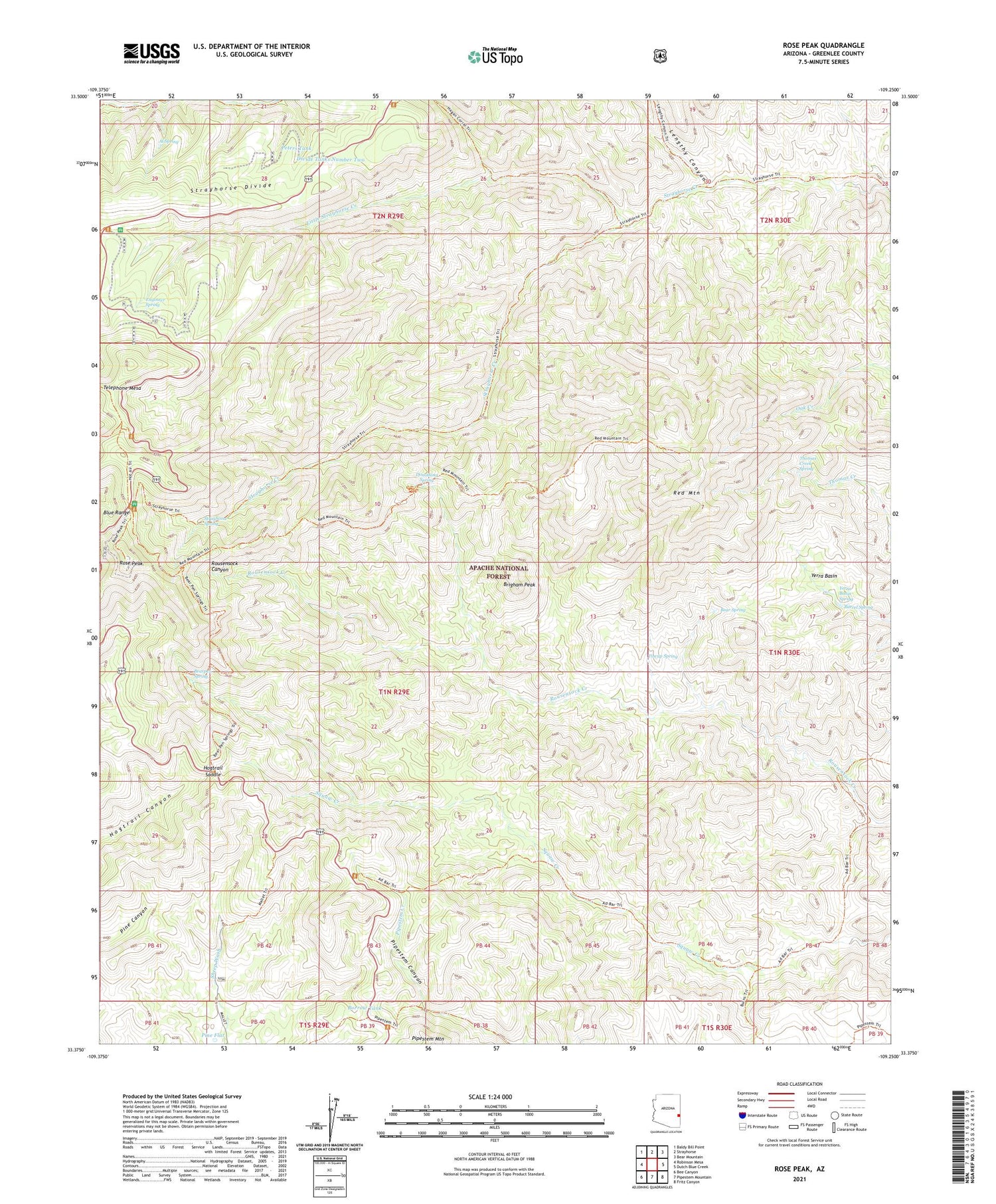
2023 topographic map quadrangle Rose Peak in the state of Arizona. Scale: 1:24000. Based on the newly updated USGS 7.5' US Topo map series, this map is in the following counties: Greenlee. The map contains contour data, water features, and other items you are used to seeing on USGS maps, but also has updated roads and other features. This is the next generation of topographic maps. Printed on high-quality waterproof paper with UV fade-resistant inks.
Quads adjacent to this one:
West: Robinson Mesa
Northwest: Baldy Bill Point
North: Strayhorse
Northeast: Bear Mountain
East: Dutch Blue Creek
Southeast: Fritz Canyon
South: Pipestem Mountain
Southwest: Bee Canyon
This map covers the same area as the classic USGS quad with code o33109d3.
Contains the following named places: A D Bar Ranch, Al Spring, Barrel Spring, Bear Spring, Bearpen Spring, Borrow Tank, Brigham Peak, Coronado Trail, Divide Tanks Number One, Divide Tanks Number Two, Donothing Spring, El Paso Corral, Engineer Spring, Filleman Cabin, Hogtrail Saddle, Lengthy Canyon, Little Strayhorse Creek, Lower Rousensock Corral, M J Bar Corral, Mallet Ranch, P D Helisport, Peters Tank, Peters Trick Tank, Pine Flat, Red Mountain, Red Mountain Twenty-five Trail, Rose Peak, Rose Peak Lookout, Rose Peak Picnic Area, Sheep Saddle Picnic Area, Skunk Corral, Strayhorse Divide, Strayhorse Spring, Telephone Mesa, Thomas Creek Spring, Tincup Spring, Tinny Corral, Trail Corral, Upper Rousensock Corral, Yerra Basin, Yerra Basin Corral, Yerra Basin Spring


