MyTopo
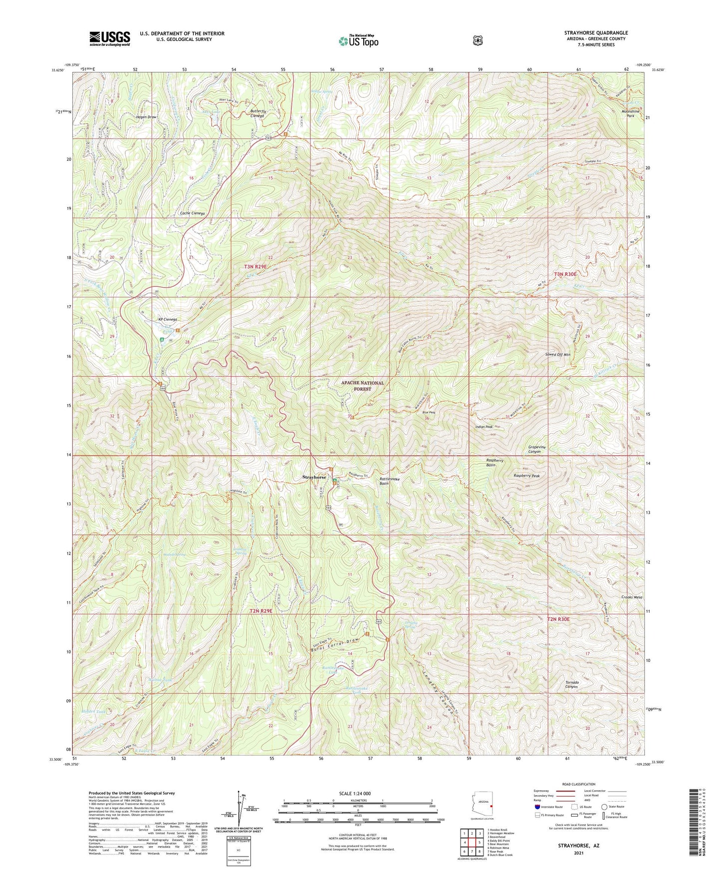
Strayhorse Arizona US Topo Map
Couldn't load pickup availability
Also explore the Strayhorse Forest Service Topo of this same quad for updated USFS data
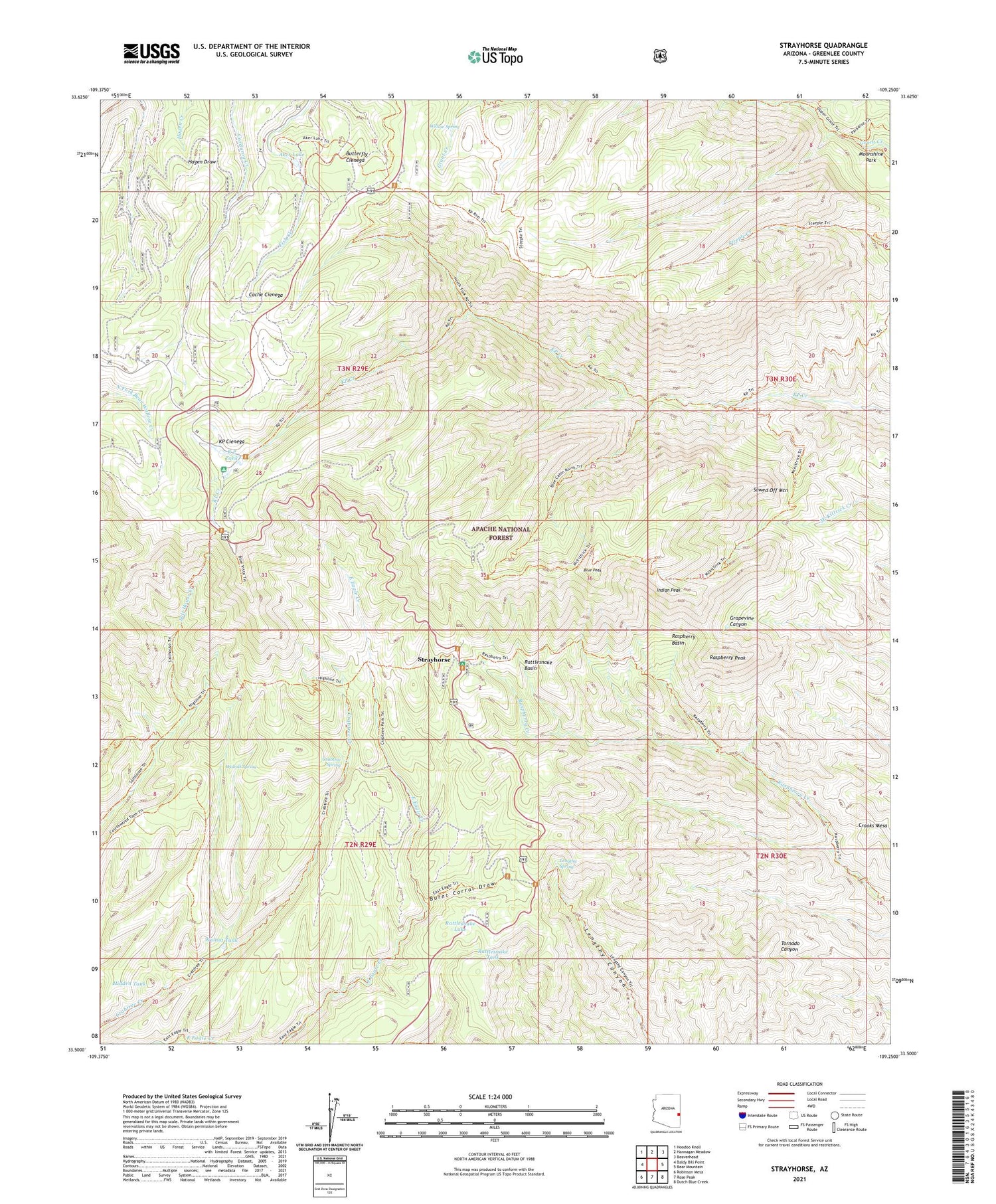
2021 topographic map quadrangle Strayhorse in the state of Arizona. Scale: 1:24000. Based on the newly updated USGS 7.5' US Topo map series, this map is in the following counties: Greenlee. The map contains contour data, water features, and other items you are used to seeing on USGS maps, but also has updated roads and other features. This is the next generation of topographic maps. Printed on high-quality waterproof paper with UV fade-resistant inks.
Quads adjacent to this one:
West: Baldy Bill Point
Northwest: Hoodoo Knoll
North: Hannagan Meadow
Northeast: Beaverhead
East: Bear Mountain
Southeast: Dutch Blue Creek
South: Rose Peak
Southwest: Robinson Mesa
This map covers the same area as the classic USGS quad with code o33109e3.
Contains the following named places: Aker Lake, Arizona Highway Department Maintance Yard, Blue Lookout, Blue Peak, Blue Peak Lookout, Blue Vista Scenic Overlook, Burnt Corral Draw, Butterfly Cienega, Cache Cienega, Crabtree Park, Crabtree Spring, Crabtree Trail Twenty-two, Crooks Mesa, Hagen Corral, Hidden Tank, Indian Peak, K P Tank, KP Cienega, KP Cienega Campground, KP Trail Seventy, Lengthy Canyon Trail Eighty-nine, Lengthy Spring, Moonshine Park, Raspberry Basin, Raspberry Peak, Raspberry Trail Thirty-five, Rattlesnake Basin, Rattlesnake Basin Cabin, Rattlesnake Lake, Rattlesnake Tank, Salt House, Salt House Corral, Salt House Eighteen Trail, Sawed Off Mountain, Stray Horse Campground, Strayhorse, Strayhorse Administative Site, Strayhorse Forest Service Facility, Walnut Spring, Walnut Tank, Willow Spring


