MyTopo
San Pedro Ranch Arizona US Topo Map
Couldn't load pickup availability
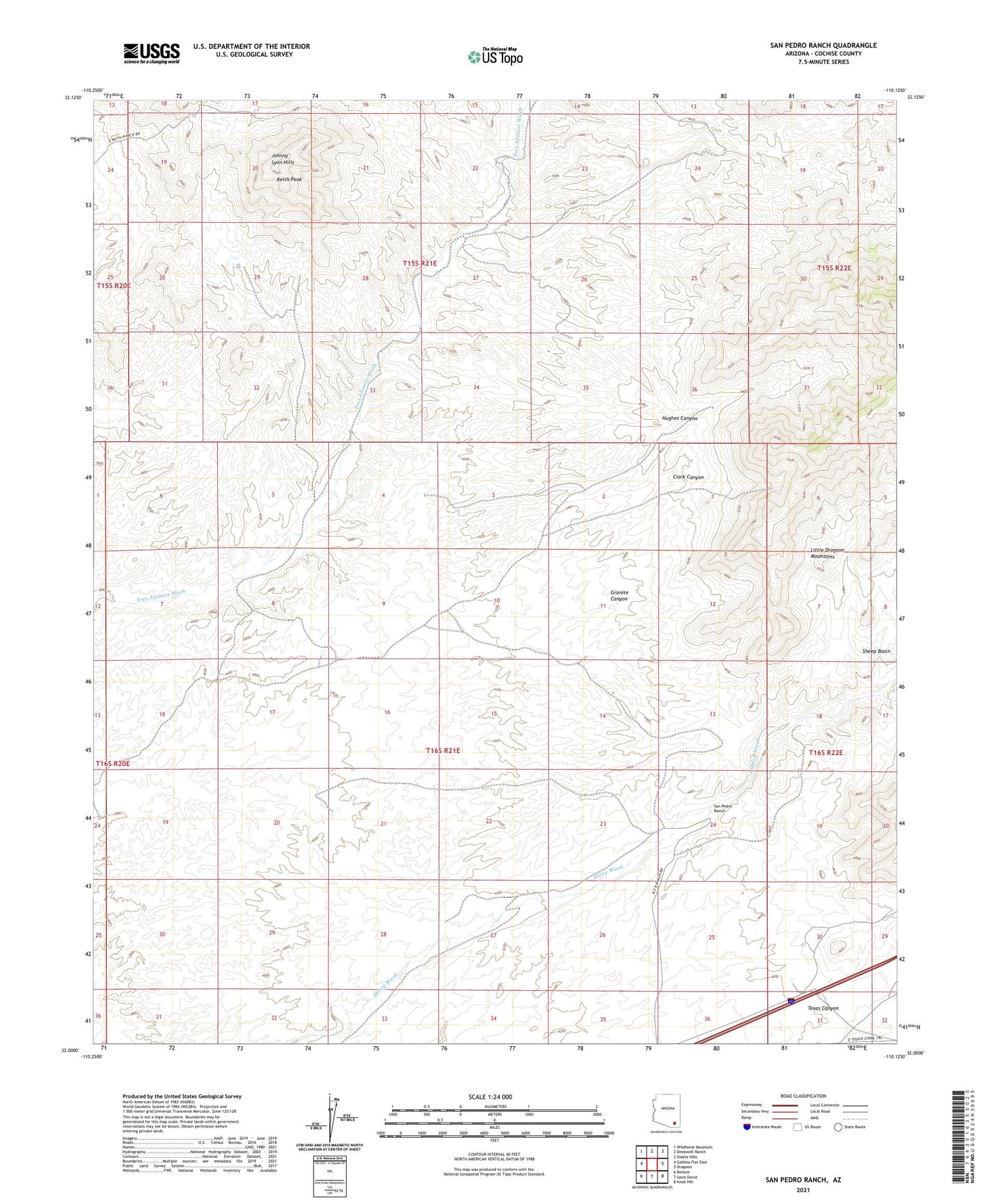
2021 topographic map quadrangle San Pedro Ranch in the state of Arizona. Scale: 1:24000. Based on the newly updated USGS 7.5' US Topo map series, this map is in the following counties: Cochise. The map contains contour data, water features, and other items you are used to seeing on USGS maps, but also has updated roads and other features. This is the next generation of topographic maps. Printed on high-quality waterproof paper with UV fade-resistant inks.
Quads adjacent to this one:
West: Galleta Flat East
Northwest: Wildhorse Mountain
North: Deepwell Ranch
Northeast: Steele Hills
East: Dragoon
Southeast: Knob Hill
South: Saint David
Southwest: Benson
This map covers the same area as the classic USGS quad with code o32110a2.
Contains the following named places: Clark Canyon, Coronado Substation, Granite Canyon, Hughes Canyon, Keith Peak, Keith Ranch, Mae West Peaks, San Pedro Ranch, Texas Canyon, Tungsten King Mine, ZIP Code: 85627