
MyTopo
Santa Rosa Mountains NW Arizona US Topo Map
Couldn't load pickup availability
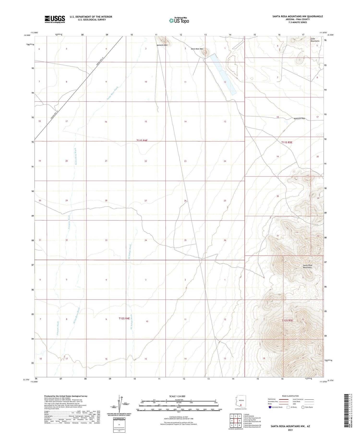
2021 topographic map quadrangle Santa Rosa Mountains NW in the state of Arizona. Scale: 1:24000. Based on the newly updated USGS 7.5' US Topo map series, this map is in the following counties: Pima. The map contains contour data, water features, and other items you are used to seeing on USGS maps, but also has updated roads and other features. This is the next generation of topographic maps. Printed on high-quality waterproof paper with UV fade-resistant inks.
Quads adjacent to this one:
West: Drew Spring Well
Northwest: Kohatk
North: North Komelik
Northeast: Silver Reef Mountains SE
East: Santa Rosa Mountains NE
Southeast: Santa Rosa Mountains SE
South: Santa Rosa Mountains SW
Southwest: Santa Rosa
This map covers the same area as the classic USGS quad with code o32111d8.
Contains the following named places: Albert Well, Anegam Wash, Komelik Mountain, Komelik Pass, Owls Nest Mountain, Rotary Park, Sil Nakya Wash, White Well


