MyTopo
Scratch Canyon Arizona US Topo Map
Couldn't load pickup availability
Also explore the Scratch Canyon Forest Service Topo of this same quad for updated USFS data
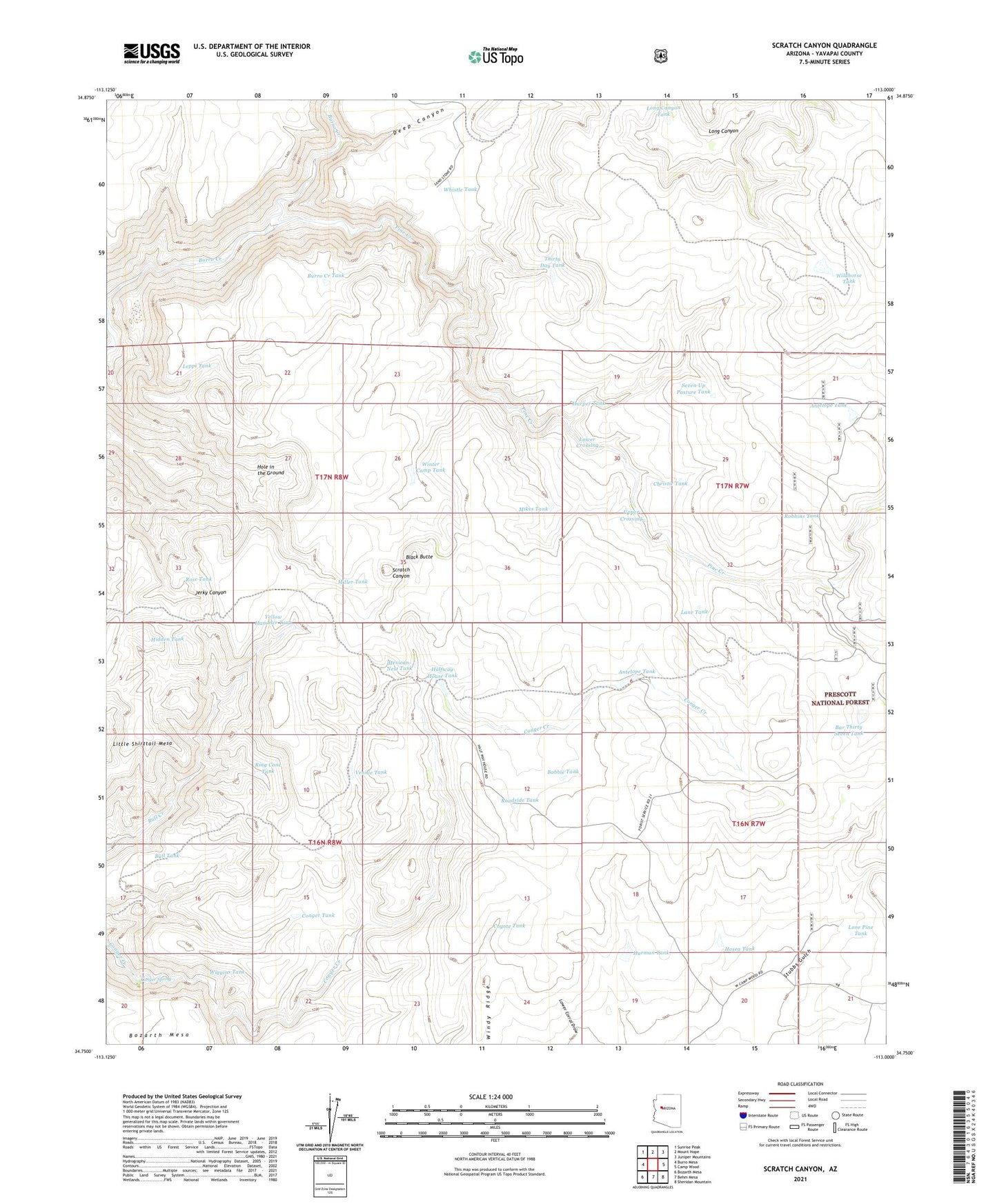
2021 topographic map quadrangle Scratch Canyon in the state of Arizona. Scale: 1:24000. Based on the newly updated USGS 7.5' US Topo map series, this map is in the following counties: Yavapai. The map contains contour data, water features, and other items you are used to seeing on USGS maps, but also has updated roads and other features. This is the next generation of topographic maps. Printed on high-quality waterproof paper with UV fade-resistant inks.
Quads adjacent to this one:
West: Burro Mesa
Northwest: Sunrise Peak
North: Mount Hope
Northeast: Juniper Mountains
East: Camp Wood
Southeast: Sheridan Mountain
South: Behm Mesa
Southwest: Bozarth Mesa
This map covers the same area as the classic USGS quad with code o34113g1.
Contains the following named places: Antelope Tank, Bar Thirty Seven Tank, Black Butte, Bobbie Tank, Bull Tank, Burro Creek Tank, Christie Tank, Conger Spring, Conger Tank, Coyote Tank, Deep Canyon, Halfway House, Halfway House Tank, Harman Tank, Harper Tank, Hidden Tank, Hole in the Ground, Hosea Tank, Lane Tank, Leppi Tank, Little Shirttail Mesa, Lone Pine Tank, Long Canyon Tank, Lower Crossing, Mexican-Nest Tank, Mikes Tank, Miller Tank, Pine Creek, Pine Creek Dam, Ring Cone Tank, Roadside Tank, Robbins Tank, Rose Tank, Seven Up Pasture Tank, Thirty Day Tank, Upper Crossing, Vennie Tank, Whistle Tank, White House Dam, Wiggins Tank, Wildhorse Tank, Windy Ridge, Winter Camp Tank, Yellow Hammer Tank