MyTopo
Sheridan Mountain Arizona US Topo Map
Couldn't load pickup availability
Also explore the Sheridan Mountain Forest Service Topo of this same quad for updated USFS data
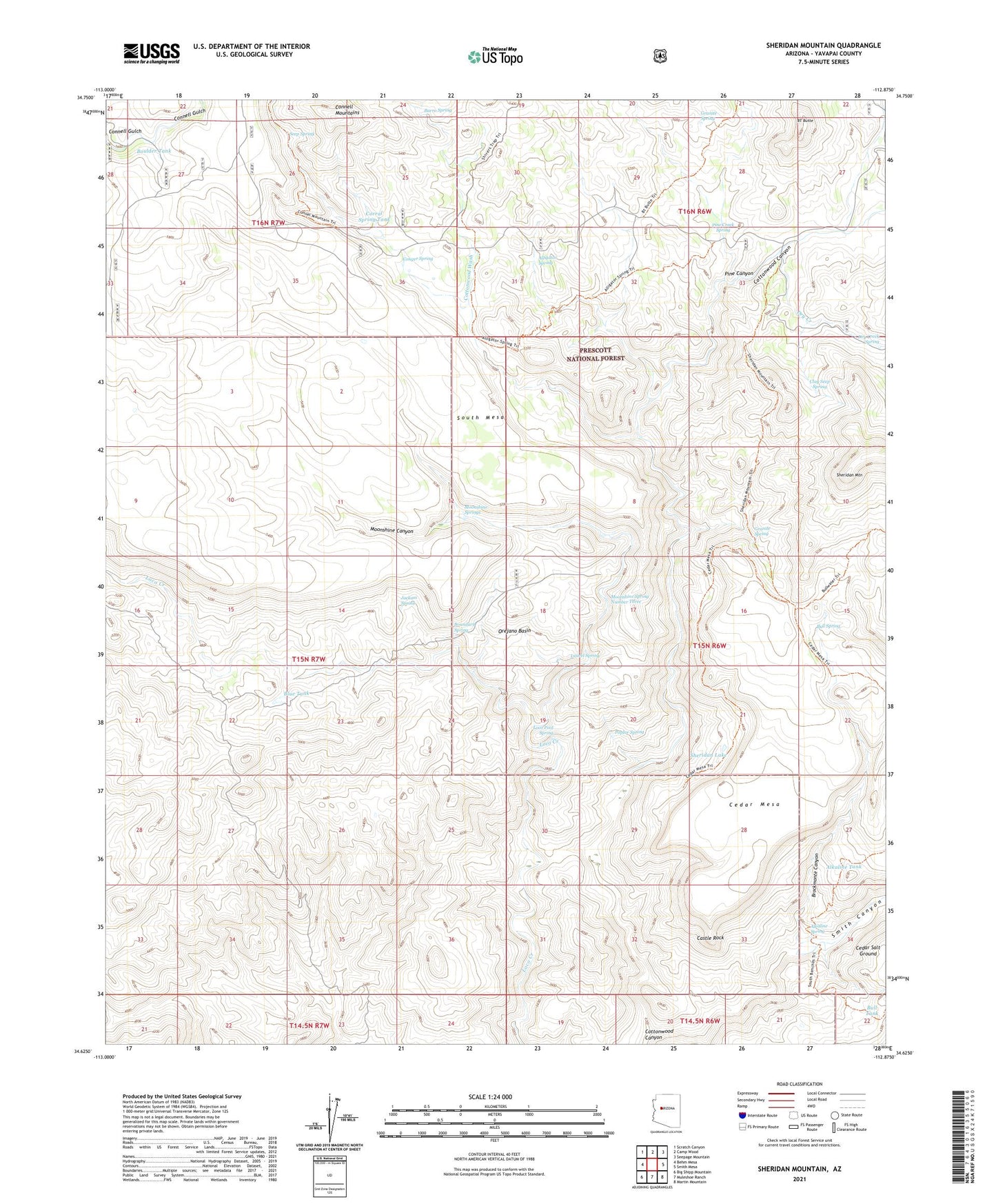
2021 topographic map quadrangle Sheridan Mountain in the state of Arizona. Scale: 1:24000. Based on the newly updated USGS 7.5' US Topo map series, this map is in the following counties: Yavapai. The map contains contour data, water features, and other items you are used to seeing on USGS maps, but also has updated roads and other features. This is the next generation of topographic maps. Printed on high-quality waterproof paper with UV fade-resistant inks.
Quads adjacent to this one:
West: Behm Mesa
Northwest: Scratch Canyon
North: Camp Wood
Northeast: Seepage Mountain
East: Smith Mesa
Southeast: Martin Mountain
South: Muleshoe Ranch
Southwest: Big Shipp Mountain
This map covers the same area as the classic USGS quad with code o34112f8.
Contains the following named places: Alkaline Spring, Alkaline Tank, Alligator Spring, Barney Well, Blue Dam, Blue Tank, Boulder Tank, Boundary Spring, Brockmonte Canyon, BT Butte, Bull Spring, Bull Tank, Burro Spring, Castle Rock, Cedar Mesa, Clay Seep Spring, Conger Spring, Corral Spring Tank, Corral Tank, Cottonwood Cabin, Cottonwood Wash, Cottonwood Well, Dry Creek, Dry Creek Spring, Granite Spring, Jackass Spring, Laurel Spring, Loco Pool Spring, Metote Pit Tank, Moonshine Canyon, Moonshine Spring Number Three, Moonshine Springs, Orejano Basin, Pine Canyon, Pine Creek Spring, Pine Flat Tank, Poplar Spring, Section Twenty Nine Tank, Seep Spring, Sheridan Lake, Sheridan Mountain, Smith Canyon, South Mesa, South Mesa Tank, Yolo Trick Tank