MyTopo
Sheldon Arizona US Topo Map
Couldn't load pickup availability
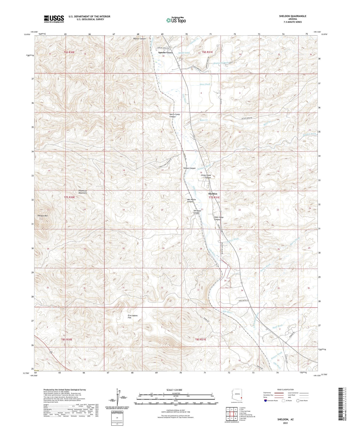
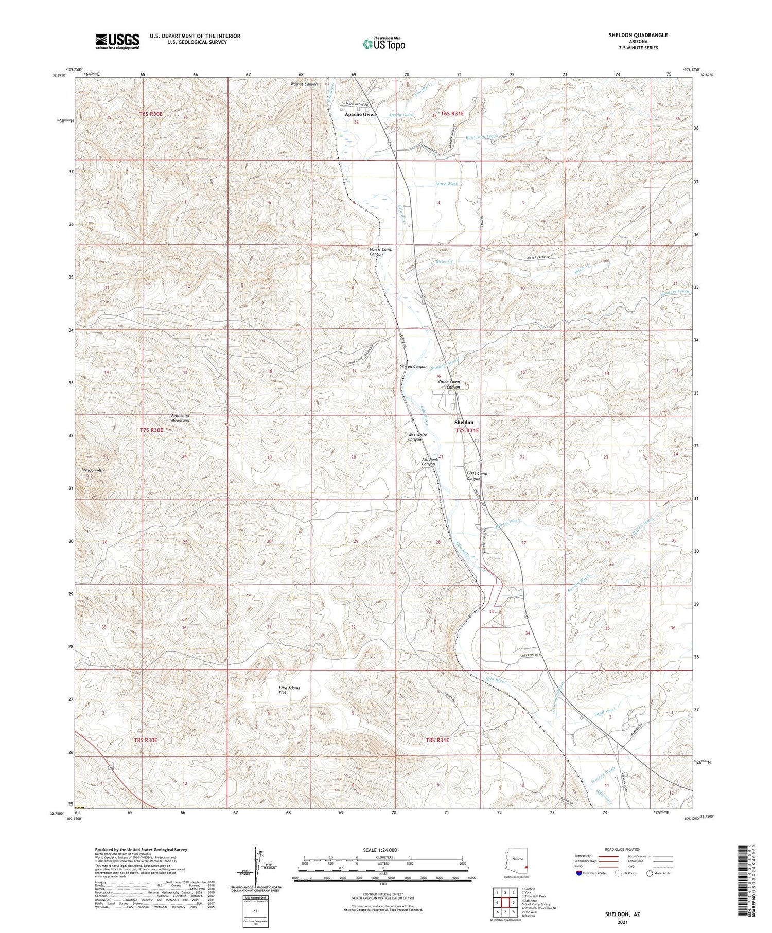
2021 topographic map quadrangle Sheldon in the state of Arizona. Scale: 1:24000. Based on the newly updated USGS 7.5' US Topo map series, this map is in the following counties: Greenlee, Graham. The map contains contour data, water features, and other items you are used to seeing on USGS maps, but also has updated roads and other features. This is the next generation of topographic maps. Printed on high-quality waterproof paper with UV fade-resistant inks.
Quads adjacent to this one:
West: Ash Peak
Northwest: Guthrie
North: York
Northeast: Tillie Hall Peak
East: Goat Camp Spring
Southeast: Duncan
South: Hot Well
Southwest: Whitlock Mountains NE
This map covers the same area as the classic USGS quad with code o32109g2.
Contains the following named places: Apache Creek, Apache Grove, Apache Gulch, Ash Peak Canyon, Bitter Creek, China Camp Canyon, Colmonero Canal, Duncan Division, Erve Adams Flat, Goat Camp Canyon, Harris Camp Canyon, Harris Wash, Kaywood Wash, Little Sand Wash, McKeon Ranch, Murphy Well, Sand Wash, Sanders Wash, Sandia Wash, Sexton Canyon, Sheldon, Sheldon Mountain, Stove Wash, Walnut Canyon, Waters Wash, Wes White Canyon, ZIP Code: 85534