MyTopo
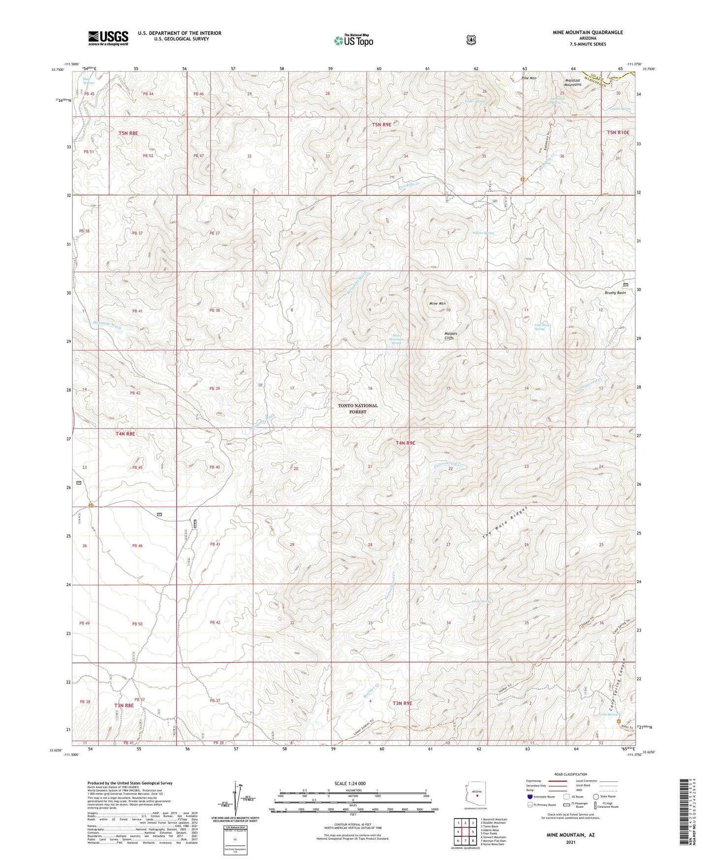
Mine Mountain Arizona US Topo Map
Couldn't load pickup availability
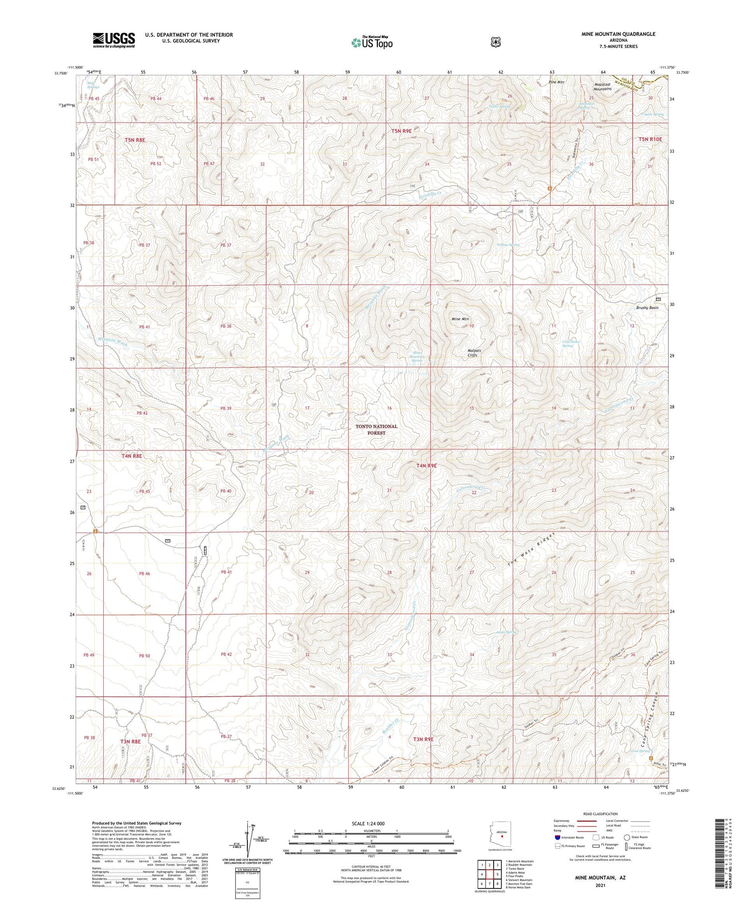
Also explore the Mine Mountain Forest Service Topo of this same quad for updated USFS data
2021 topographic map quadrangle Mine Mountain in the state of Arizona. Scale: 1:24000. Based on the newly updated USGS 7.5' US Topo map series, this map is in the following counties: Maricopa, Gila. The map contains contour data, water features, and other items you are used to seeing on USGS maps, but also has updated roads and other features. This is the next generation of topographic maps. Printed on high-quality waterproof paper with UV fade-resistant inks.
Quads adjacent to this one:
West: Adams Mesa
Northwest: Maverick Mountain
North: Boulder Mountain
Northeast: Tonto Basin
East: Four Peaks
Southeast: Horse Mesa Dam
South: Mormon Flat Dam
Southwest: Stewart Mountain
This map covers the same area as the classic USGS quad with code o33111f4.
Contains the following named places: Boulder Creek, Bullfrog, Cane Spring, Cane Spring Trialhead, Cline Cabin, Cline Trailhead, Cold Water Spring, Coyote Spring, Fisher Spring, Malpais Cliffs, Mine Mountain, Mine Mountain Spring, Mountain Spring, Mud Springs, Pine Mountain, Soldier Camp Trailhead, The Rolls, Wata Spring, Willow Spring