MyTopo
Walker Mountain Arizona US Topo Map
Couldn't load pickup availability
Also explore the Walker Mountain Forest Service Topo of this same quad for updated USFS data
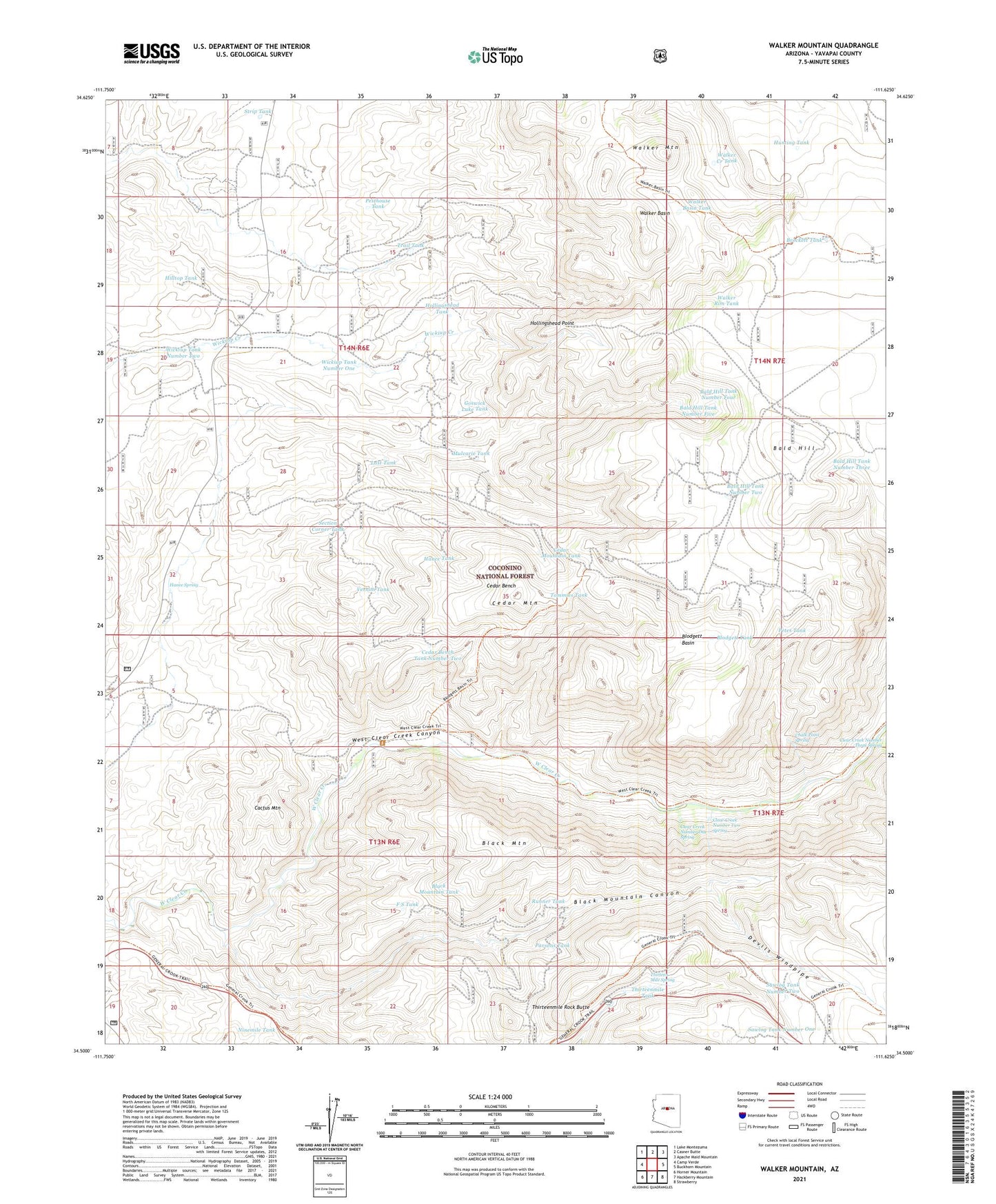
2021 topographic map quadrangle Walker Mountain in the state of Arizona. Scale: 1:24000. Based on the newly updated USGS 7.5' US Topo map series, this map is in the following counties: Yavapai. The map contains contour data, water features, and other items you are used to seeing on USGS maps, but also has updated roads and other features. This is the next generation of topographic maps. Printed on high-quality waterproof paper with UV fade-resistant inks.
Quads adjacent to this one:
West: Camp Verde
Northwest: Lake Montezuma
North: Casner Butte
Northeast: Apache Maid Mountain
East: Buckhorn Mountain
Southeast: Strawberry
South: Hackberry Mountain
Southwest: Horner Mountain
This map covers the same area as the classic USGS quad with code o34111e6.
Contains the following named places: Bald Hill, Bald Hill Tank Number Five, Bald Hill Tank Number Four, Bald Hill Tank Number Three, Bald Hill Tank Number Two, Black Mountain, Black Mountain Canyon, Black Mountain Tank, Blodgett Basin, Blodgett Basin Tank, Blodgett Tank, Boulder Tank, Brockett Tank, Buckhorn Trail, Bull Pen Campground, Bull Pen Ranch, Bull Tank, Cactus Mountain, Cedar Bench, Cedar Bench Tank Number One, Cedar Bench Tank Number Two, Cedar Mountain, Cedar Mountain Tank, Chalk Point Spring, Clear Creek Number One Spring, Clear Creek Number Two Spring, Devils Jawbone Tank, Devils Windpipe, Diamond M Tank, Elmore Tank Number Two, F S Tank, Goswick Lake Tank, Hance Spring, Hance Tank, Hilltop Tank, Hollingshead Point, Hollingshead Point Tank, Hollingshead Tank, Hunting Tank, Jawbone Windmill, Last Tank, M Diamond Ranch, Mulcarie Tank, Ninemile Tank, Parsons Tank, Pesthouse Tank, Petes Tank, Quail Trick Tank, Red Tank, Runner Tank, Sawlog Tank Number One, Sawlog Tank Number Two, Section Corner Tank, Strip Tank, Thirteen Mile Spring, Thirteenmile Rock Butte, Thirteenmile Tank, Tommies Tank, Trail Tank, Vernon Tank, Walker Basin, Walker Basin Tank, Walker Basin Trail, Walker Creek Tank, Walker Mountain, Walker Rim Tank, West Clear Creek Wilderness, Wickiup Tank Number One, Wickiup Tank Number Two


