MyTopo
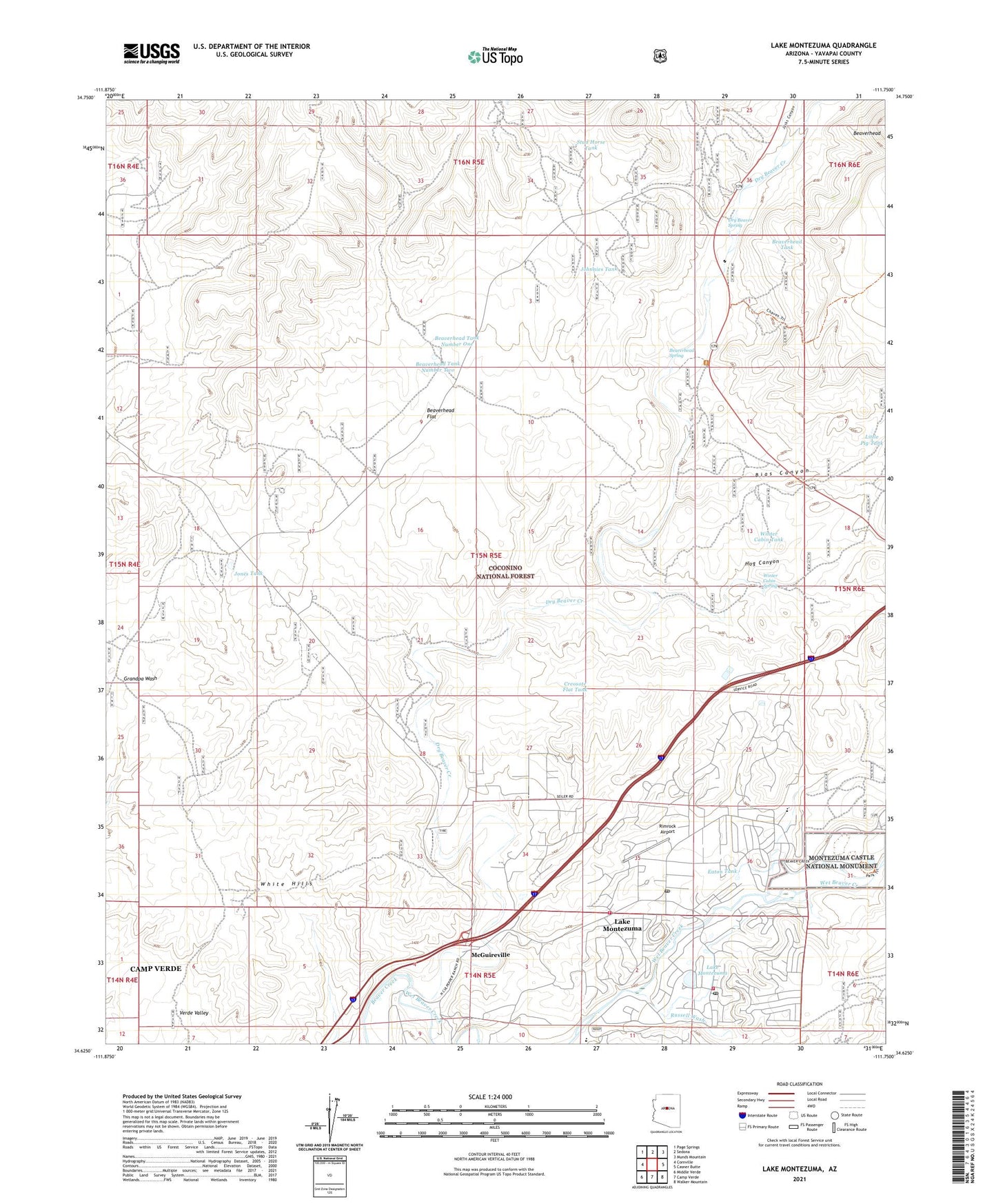
Lake Montezuma Arizona US Topo Map
Couldn't load pickup availability
Also explore the Lake Montezuma Forest Service Topo of this same quad for updated USFS data
2021 topographic map quadrangle Lake Montezuma in the state of Arizona. Scale: 1:24000. Based on the newly updated USGS 7.5' US Topo map series, this map is in the following counties: Yavapai. The map contains contour data, water features, and other items you are used to seeing on USGS maps, but also has updated roads and other features. This is the next generation of topographic maps. Printed on high-quality waterproof paper with UV fade-resistant inks.
Quads adjacent to this one:
West: Cornville
Northwest: Page Springs
North: Sedona
Northeast: Munds Mountain
East: Casner Butte
Southeast: Walker Mountain
South: Camp Verde
Southwest: Middle Verde
This map covers the same area as the classic USGS quad with code o34111f7.
Contains the following named places: Apache Maid Ranch, BC Ranch Golf Club, Beaver Creek Baptist Church, Beaver Creek School, Beaverhead, Beaverhead Flat, Beaverhead Spring, Beaverhead Tank, Beaverhead Tank Number One, Beaverhead Tank Number Two, Belle Affeld Beloved Humanities Academy, Bias Canyon, Camp Verde-Sedona Division, Cornville Tank, Creosote Flat Tank, Dry Beaver Creek, Dry Beaver Spring, Eaton Tank, Grace Community Lutheran Church, Hog Canyon, Jacks Canyon, Johnnies Tank, Jones Tank, Lake Montezuma, Lake Montezuma Census Designated Place, Lake Montezuma Post Office, Little Pig Tank, McGuireville, Melton Windmill, Montezuma Chapel, Montezuma Rimrock Fire Department, Montezuma Well, Red Rock Ranger District, Rimrock Airport, Rimrock Post Office, Rimrock Public High School, Rimrock Ranch, Russell Wash, Sedona Sky Academy, Stud Horse Tank, Trick Number Two Tank, Wet Beaver Creek, White Hills, Winter Cabin Spring, Winter Cabin Tank