MyTopo
Canfield Arkansas US Topo Map
Couldn't load pickup availability
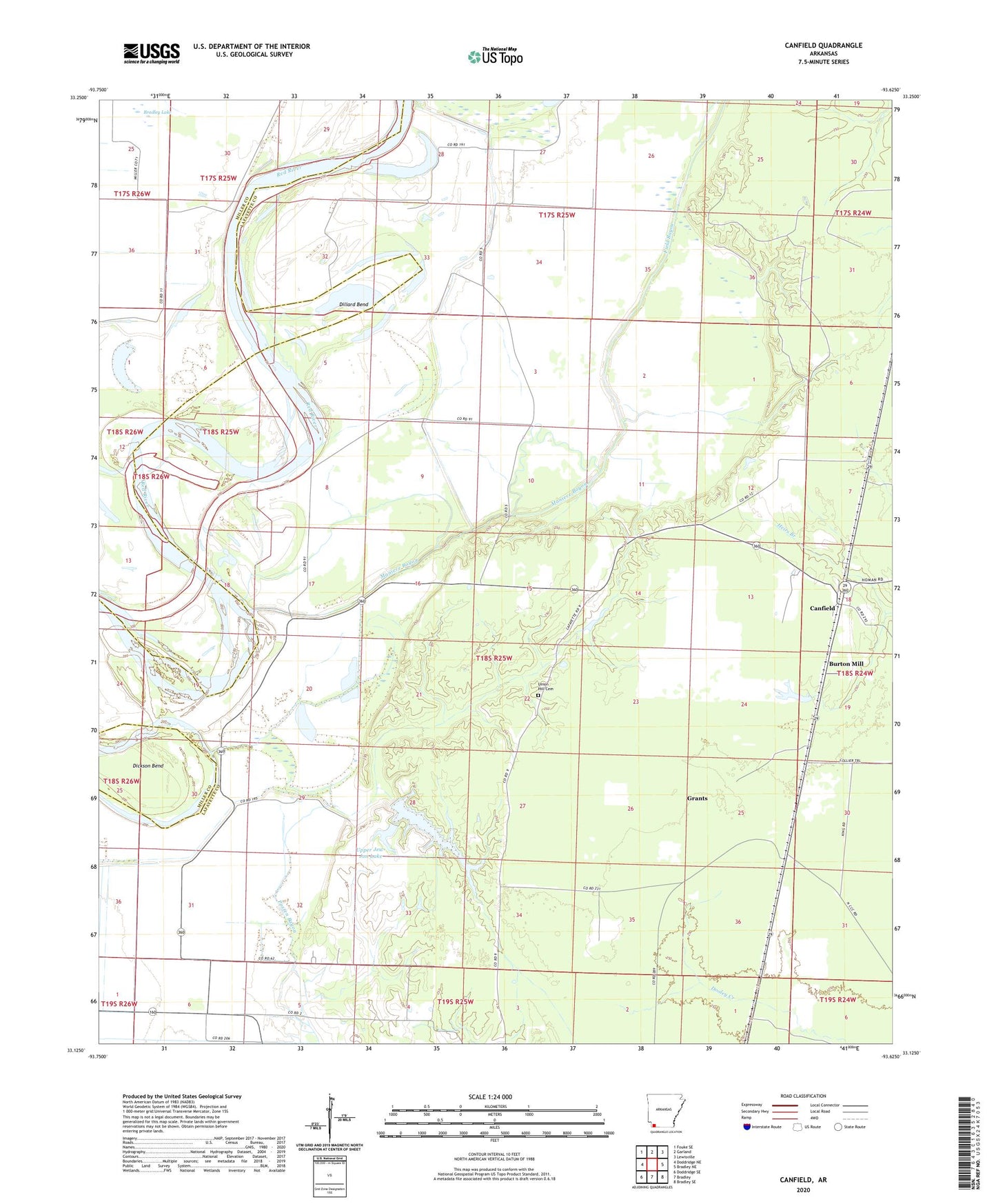
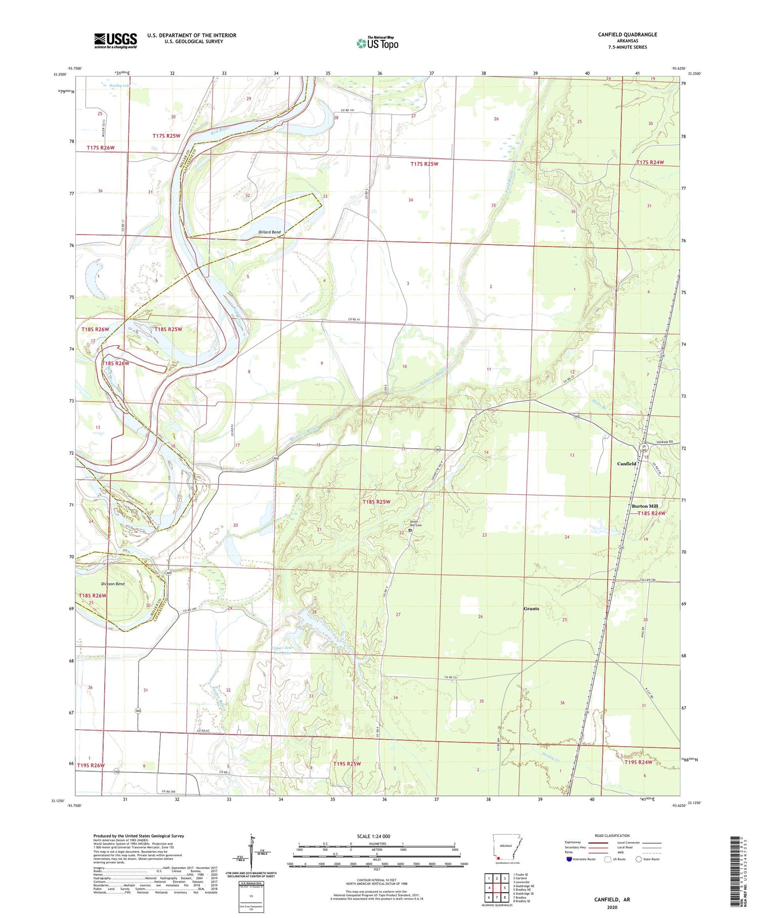
2024 topographic map quadrangle Canfield in the state of Arkansas. Scale: 1:24000. Based on the newly updated USGS 7.5' US Topo map series, this map is in the following counties: Lafayette, Miller. The map contains contour data, water features, and other items you are used to seeing on USGS maps, but also has updated roads and other features. This is the next generation of topographic maps. Printed on high-quality waterproof paper with UV fade-resistant inks.
Quads adjacent to this one:
West: Doddridge NE
Northwest: Fouke SE
North: Garland
Northeast: Lewisville
East: Bradley NE
Southeast: Bradley SE
South: Bradley
Southwest: Doddridge SE
This map covers the same area as the classic USGS quad with code o33093b6.
Contains the following named places: Burton Mill, Canfield, Copeland Lake, Dickson Bend, Dillard Bend, Field Bayou, Grants, Lake Jew Jon Lower Dam, Lake Jew Jon Upper Dam, Lower Lake Jew Jon, Maniece Bayou, Union Hill Cemetery, Union Hill Church, Upper Jew-Jon Lake