
MyTopo
Bradley SE Arkansas US Topo Map
Couldn't load pickup availability
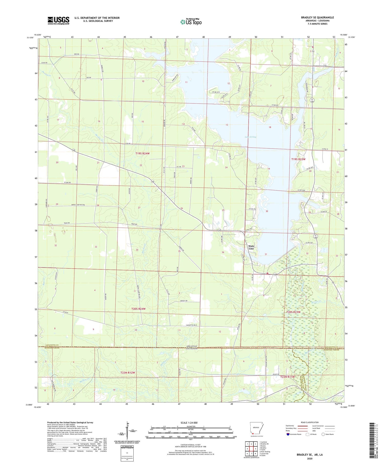
2024 topographic map quadrangle Bradley SE in the states of Arkansas, Louisiana. Scale: 1:24000. Based on the newly updated USGS 7.5' US Topo map series, this map is in the following counties: Lafayette, Bossier, Webster. The map contains contour data, water features, and other items you are used to seeing on USGS maps, but also has updated roads and other features. This is the next generation of topographic maps. Printed on high-quality waterproof paper with UV fade-resistant inks.
Quads adjacent to this one:
West: Bradley
Northwest: Canfield
North: Bradley NE
Northeast: Bussey
East: Taylor
Southeast: Cullen
South: Carterville
Southwest: Plain Dealing
Contains the following named places: Bandy Branch, Bradley Oil and Gas Field, Keoun Creek, Lafayette Wildlife Management Area, Lake Erling, Lake Erling Volunteer Fire Department, North Carterville Oil Field, Percy Cobb Dam, Shiloh Church, State Line, State Line Church, Township of French, Walker Creek, Walker Creek Fire Department, Walker Creek School


