MyTopo
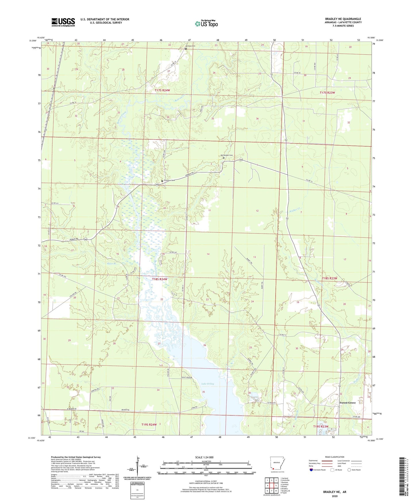
Bradley NE Arkansas US Topo Map
Couldn't load pickup availability
2024 topographic map quadrangle Bradley NE in the state of Arkansas. Scale: 1:24000. Based on the newly updated USGS 7.5' US Topo map series, this map is in the following counties: Lafayette. The map contains contour data, water features, and other items you are used to seeing on USGS maps, but also has updated roads and other features. This is the next generation of topographic maps. Printed on high-quality waterproof paper with UV fade-resistant inks.
Quads adjacent to this one:
West: Canfield
Northwest: Garland
North: Lewisville
Northeast: Buckner
East: Bussey
Southeast: Taylor
South: Bradley SE
Southwest: Bradley
This map covers the same area as the classic USGS quad with code o33093b5.
Contains the following named places: Crossroads Church, Demoss Cemetery, Forest Grove, Forest Grove Church, Heirs Branch, Lafayette County, McClendon Cemetery, McKamie-Patton Oil and Gas Field, Piney Grove Church, Primitive Cemetery, Saint Jonah Church, Township of Walker Creek